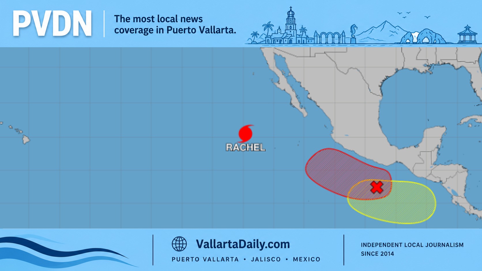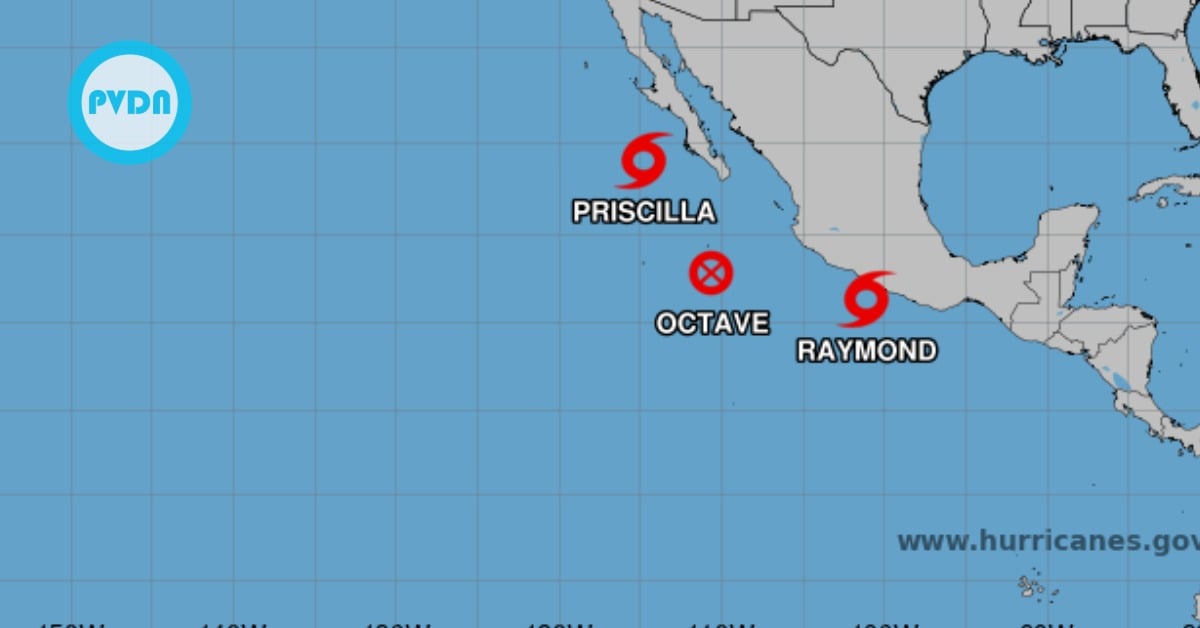
A fresh tropical system has Mexico’s southwest coast on alert again. The National Hurricane Center named Tropical Storm Raymond on Thursday and issued a Mexico tropical storm watch from Zihuatanejo to Cabo Corrientes. The core is forecast to run offshore through Friday, then angle toward southern Baja this weekend. The considerable near-term risk is rain: two to four inches are likely from Oaxaca to Jalisco, with higher pockets in Guerrero and Michoacán, plus building surf and rip currents. Here’s what the track and timing mean for beach towns and mountain roads.
Authorities issued a Mexico tropical storm watch from Zihuatanejo to Cabo Corrientes on Thursday afternoon, as newly named Tropical Storm Raymond formed just off Guerrero and began sliding west-northwest along the Pacific coast. The watch means tropical-storm conditions are possible within 36 hours. Forecasters expect the core to pass offshore through Friday, then bend toward southern Baja California Sur over the weekend.
At noon local time, Raymond’s maximum sustained winds were near 45 mph with higher gusts. Tropical-storm-force winds extended outward roughly 50 miles from the center. The National Hurricane Center projected some strengthening through Friday, then weakening as the system encounters cooler water and more hostile winds. Pressure was estimated at 1002 mb.
Rain is the immediate concern for the coast and the mountains behind it. Outer bands are forecast to deliver 2 to 4 inches from Oaxaca to Jalisco, with localized 6-inch totals most likely in Guerrero and Michoacán—enough for flash flooding in steep terrain and urban low spots. Mexico’s weather service confirmed the watch corridor and warned of rough surf and rip currents along the southwest coast as swells build into Friday and reach southern Baja on Saturday.
What the Mexico tropical storm watch means today
The watch covers Costa Grande through the Jalisco coast, including tourist hubs like Ixtapa-Zihuatanejo and Puerto Vallarta’s broader bay region. Officials in Guerrero and Jalisco echoed the federal guidance on watching for rapid rises in small rivers, rockfalls on mountain roads, and localized power or telecom outages in heavier bands. Keep phones charged, avoid crossing flooded streets, and heed port-captain advisories if you’re planning to boat or surf.
Track and local impacts through the weekend
Raymond should run roughly parallel to the mainland shoreline into Friday before turning northwest and then north, bringing it near southern Baja California Sur late Saturday into Sunday. Even with a weakening trend expected by then, the system’s moisture plume can still wring out heavy showers over the peninsula and, early next week, feed additional rainfall into the U.S. Southwest. Travelers should expect on-and-off banded rain, hazardous surf, and occasional gusts along the watch area, while Baja monitors the approach.