Puerto Vallarta, Jalisco, Aug. 31, 2026 — Hurricane Karina remained a Category 4 storm Monday but posed no direct threat to Puerto Vallarta as it moved farther into the Pacific.
At 3 p.m. Puerto Vallarta time, the National Hurricane Center placed Karina 1,760 kilometers west-southwest of Baja California’s southern tip. Maximum sustained winds were 215 kilometers per hour.
No coastal watches or warnings were in effect. Mexico’s National Water Commission said Karina was moving away from the country and producing no effects in Mexico.
Local impact remains a marine-safety question
Our review of the advisory coordinates placed Karina about 2,190 kilometers west of Puerto Vallarta. The hurricane’s wind field also remained compact relative to that distance.
Hurricane-force winds extended 45 kilometers from the center. Tropical-storm-force winds reached outward up to 185 kilometers, according to the advisory.
The National Hurricane Center warned that swells could reach portions of southwestern Mexico during the next several days. Those swells could produce “life-threatening surf and rip current conditions,” the agency said.
The warning did not identify Puerto Vallarta or Banderas Bay by name. It also did not establish that dangerous surf was occurring at individual local beaches Monday afternoon.
The National Meteorological Service’s morning forecast predicted waves of 1.5 to 2.5 meters along western Baja California and the Gulf of Tehuantepec. Jalisco was not included in that wave forecast.
That distinction matters for swimmers and marine operators. A regional swell advisory does not automatically mean Playa Camarones, Playa de Oro, Los Muertos or Conchas Chinas is closed.
Conditions can differ between beaches and change during the day. Swimmers should follow lifeguard flags and instructions rather than judging conditions from the shoreline.
Boat operators departing from Marina Vallarta or Los Muertos Pier should also check current harbor and weather notices before leaving the bay.
Monday’s rain forecast is separate from Karina
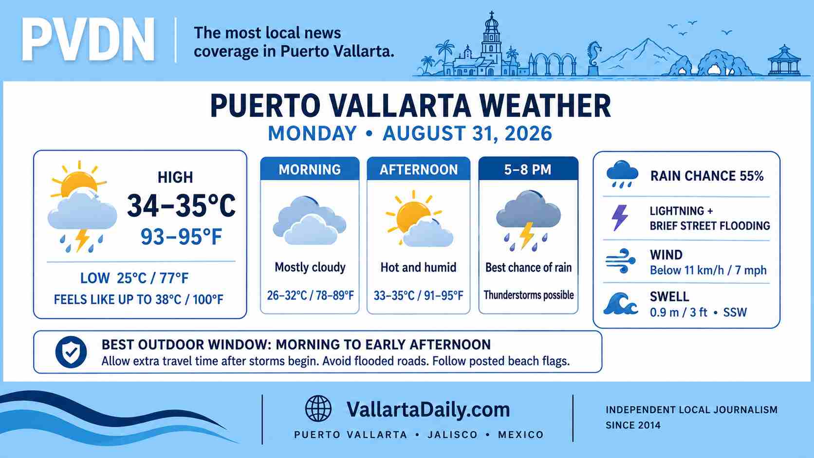
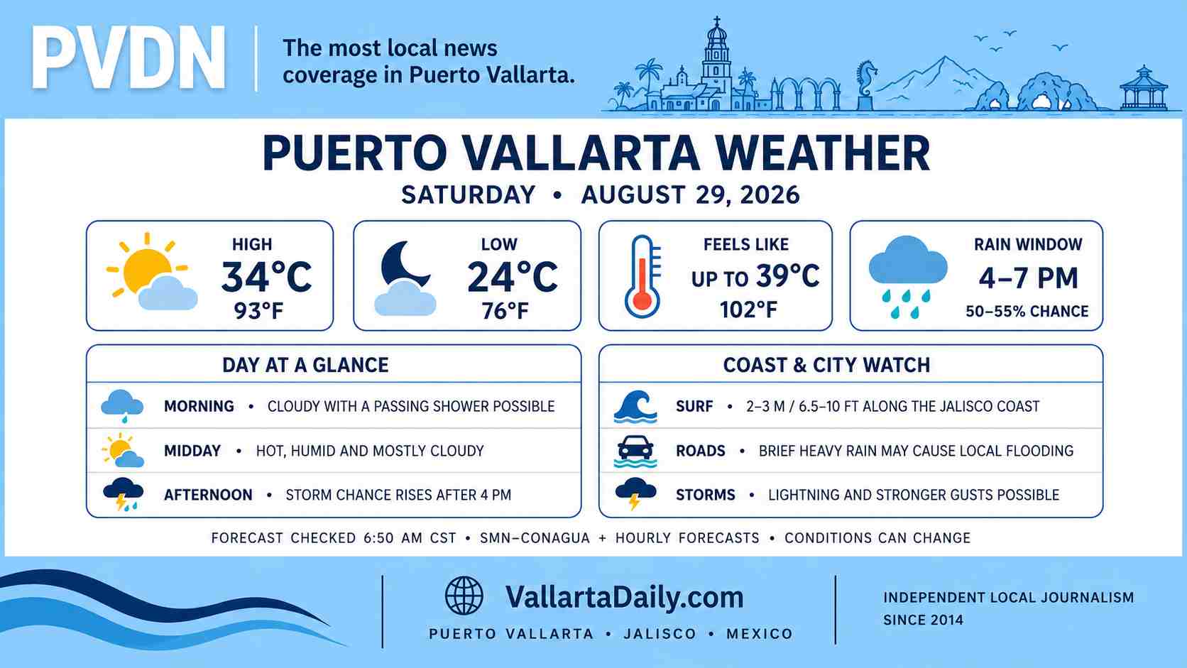
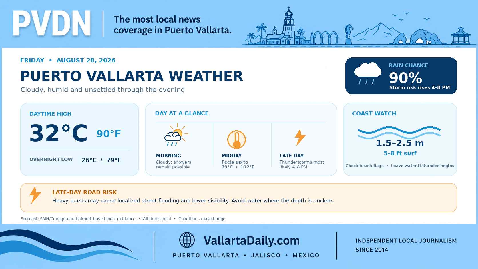
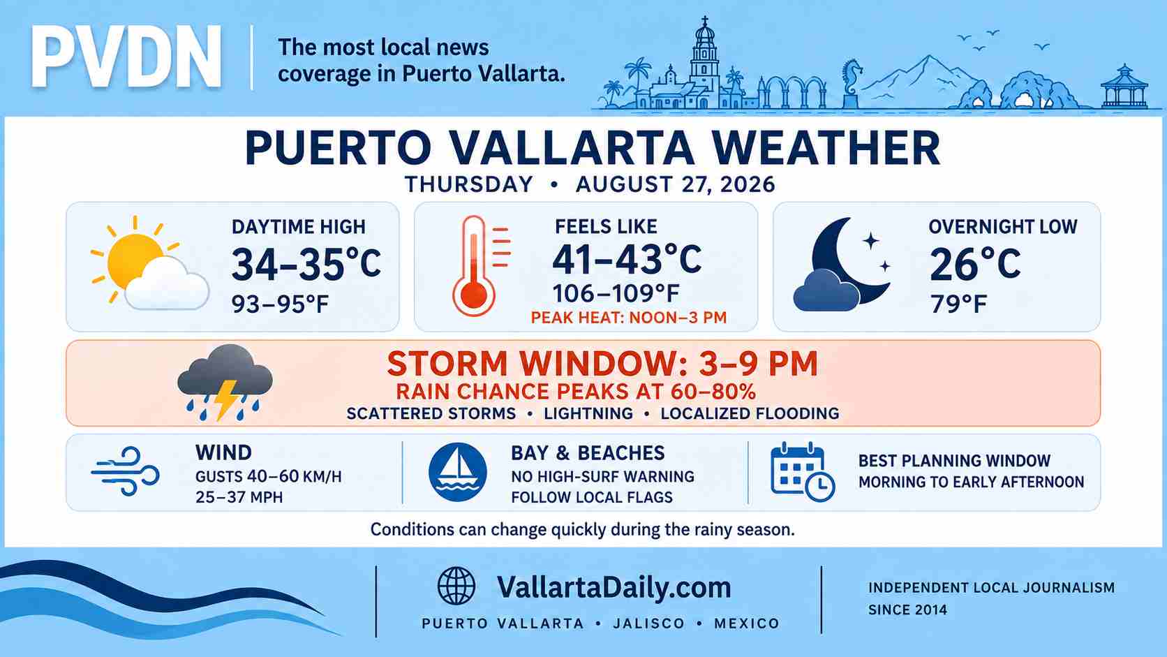
Puerto Vallarta and western Jalisco still face possible rainy-season storms unrelated to Karina.
The National Meteorological Service forecast 50 to 75 millimeters of rain in parts of western Jalisco on Monday. It also projected wind gusts between 30 and 50 kilometers per hour across the state.
The agency attributed those conditions to low-pressure channels, an upper-level circulation, atmospheric instability and Tropical Wave 34. It did not attribute Jalisco’s rain forecast to Karina.
The statewide bulletin does not mean every municipality will receive the maximum rainfall. Puerto Vallarta residents can follow updated local conditions through the PVDN weather page.
Karina expected to weaken over open water
Karina was moving west-northwest at 15 kilometers per hour Monday afternoon. The National Hurricane Center expected that general motion to continue.
Intensity fluctuations remained possible Monday night. Forecasters expected a gradual weakening trend to begin Tuesday as Karina continued over the open Pacific.
The storm’s projected path remained away from mainland Mexico and Puerto Vallarta. Updates affecting the region are collected in PVDN’s 2026 hurricane-season tracker.