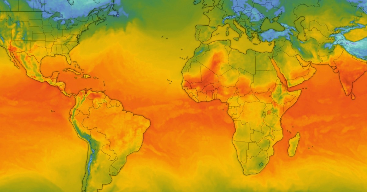
A new global climate warning puts Mexico’s rainy season, water planning, and Pacific hurricane outlook under sharper watch. The signal is not a confirmed disaster forecast, and agencies are avoiding hype about a so-called super El Niño. Still, the odds have moved fast enough that officials now say preparation should begin before the pattern reaches its expected peak. The harder question is where the impacts may hit first, and how much time Mexico has to adjust.
El Niño warning moves from watch to preparation
World climate officials warned Tuesday that El Niño conditions are developing in the tropical Pacific, a shift that could push temperatures higher and sharpen rainfall extremes across the next several months.
The June 2 warning places Mexico’s 2026 rainy season and hurricane planning within a broader climate signal. The latest WMO El Niño/La Niña Update gives an 80 percent probability of El Niño during June through August, with near- or above-90 percent odds that it continues at least into November. Some models point toward a moderate event, possibly strong, though peak strength and timing remain uncertain.
Warm subsurface water is feeding the shift. WMO said late April to mid-May observations showed surface temperatures nearing El Niño thresholds in the central-eastern equatorial Pacific. Below the surface, tropical Pacific anomalies exceeded 6 degrees Celsius above average, creating a heat reservoir driving surface warming.
“We need to prepare for a potentially strong El Niño event,” WMO Secretary-General Celeste Saulo said. The agency said El Niño can worsen drought, heavy rainfall, and heatwaves, depending on the region and season.
One caution is built into the warning. WMO says it does not use the term “super El Niño” because it is not part of its standardized operating categories. NOAA’s May discussion also says the final strength remains uncertain, with no peak-strength category above 37 percent.
Mexico’s rain and heat signal is already changing
Mexico’s own climate agencies had already pointed in that direction. An April 27 Conagua statement said rains were expected to start favorably in May, become broadly established in June, then ease around July in several regions as El Niño develops. The SMN forecast named the northeast, center, east, south, and southeast as areas where rainfall could stay near or below average later in the summer, while temperatures would be above historical averages during much of the season.
The same forecast said the Pacific cyclone season could run above average, while the Atlantic may stay near or below normal. That split aligns with the broader Mexico-Pacific hurricane season outlook, which is already incorporated into storm planning on the Pacific coast. NOAA’s Eastern Pacific outlook gives a 70 percent chance of an above-normal season, with 15 to 22 named storms, 9 to 14 hurricanes, and 5 to 9 major hurricanes.
El Niño often has opposite effects on the two hurricane basins that matter to Mexico. In the eastern Pacific, warmer water and favorable upper-level winds can help storms form and strengthen. In the Atlantic, El Niño often increases wind shear, which can tear developing systems apart before they organize. That does not erase Atlantic risk. One storm near land is enough.
The warning reaches beyond hurricanes
The risk does not fall only on storm coasts. WMO says seasonal forecasts guide agriculture, water management, energy, and health planning. In Mexico, those sectors are tied to reservoir levels, crop calendars, heat stress, electricity demand, and flood response. A dry signal in one region can coincide with short, intense rainfall elsewhere.
That unevenness is the hardest part of the warning. El Niño is a global climate pattern, but its impacts depend on timing, strength, and interaction with other systems. WMO said even neutral ENSO conditions can still produce extreme weather. A moderate El Niño can still raise the odds of damaging events.
The next phase will be close monitoring. WMO will continue issuing updates as the Pacific signal develops. Mexican agencies will need to keep adjusting regional forecasts as El Niño interacts with tropical storms, monsoon moisture, cold fronts, and local convective rain.