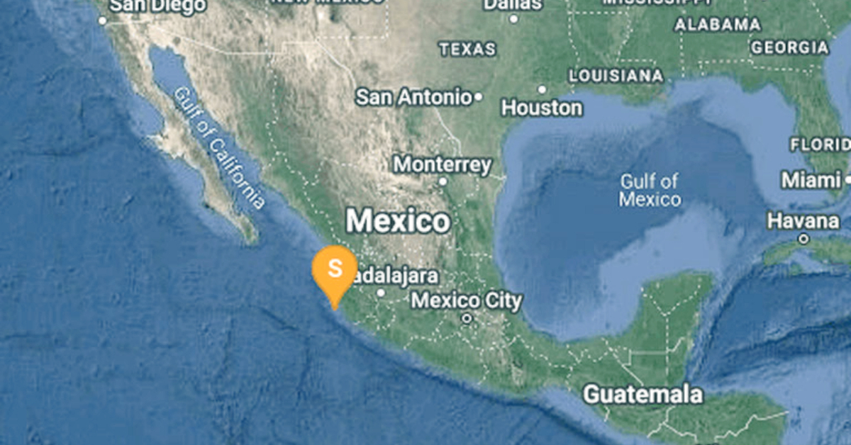
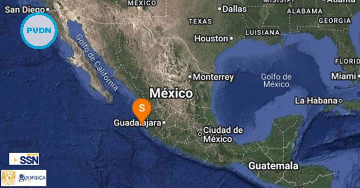
Puerto Vallarta (PVDN) – At 12:59 AM local time today, an earthquake with a magnitude of 4.1 and a depth of 9.9 kilometers was detected off the coast of Puerto Vallarta.
The National Seismological Service (SSN) has reported preliminary data suggesting that the quake’s epicenter was positioned 102 km southwest of the city, within the boundaries of the state of Jalisco.
There was no reported perception or damage of the earthquake within the city.
Given the significant seismic activity, the National Center for Disaster Prevention (Cenapred) advises the public not to succumb to unverified rumors or misinformation. They emphasize the importance of obtaining data from official sources, such as local, state, and federal Civil Protection authorities.
The area around Puerto Vallarta is part of the Pacific Ring of Fire, a region encircling the Pacific Ocean that’s highly active in terms of earthquakes and volcanic eruptions. This is due to the tectonic activity along the boundary of the Pacific Plate, which interacts with other plates around its edges.
Notably, Mexico sits at the intersection of three tectonic plates: the North American Plate, the Cocos Plate, and the Pacific Plate. The region’s seismic activity is primarily caused by the subduction of the Cocos Plate under the North American Plate.
Puerto Vallarta (PVDN) - At 12:59 AM local time today, an earthquake with a magnitude of 4.1 and a depth of 9.9 kilometers was detected off the coast of Puerto Vallarta.
The National Seismological Service (SSN) has reported preliminary data suggesting that the quake's epicenter was positioned 102 km southwest of the city, within the boundaries of the state of Jalisco.