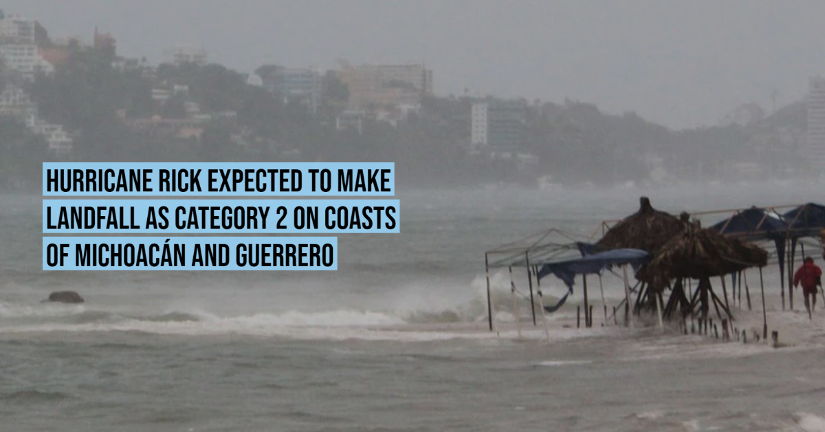
The National Water Commission ( Conagua ) confirmed that the trajectory of Hurricane Rick, which recently reached category 1 on the Saffir-Simpson scale, will make landfall between the municipalities of Zihuatanejo in Guerrero and Lázaro Cárdenas in Michoacán.
In a press conference, Alejandra Méndez Girón, coordinator of the National Meteorological Service, affirmed that the government body anticipates that Rick's landfall will occur as a category 2 hurricane on Sunday evening.
At 1:00 p.m. (Central Time of the Mexican Republic) this Saturday, the center of the hurricane was located . . .