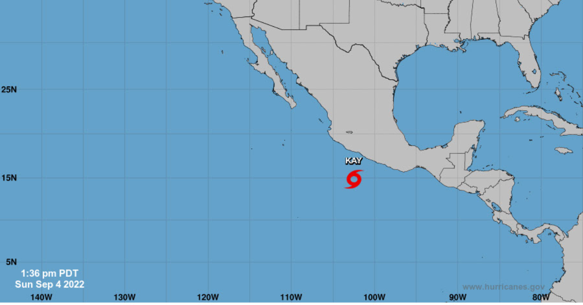
At 400 PM CDT (2100 UTC), Tropical Storm Kay officially formed and was located near latitude 14.8 North, longitude 102.5 West. Kay is moving toward the west-northwest at 13 mph (20 km/h) and a west-to-west-northwest motion is expected during the next couple of days, followed by a turn to the north. Kay is expected to remain south of southwestern Mexico during the next couple of days.
Maximum sustained winds have increased to near 40 mph (65 km/h) with higher gusts. Strengthening is expected, and Kay is forecast to become . . .