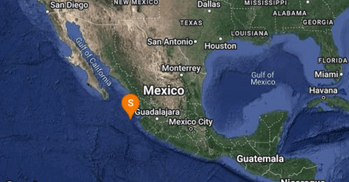
Puerto Vallarta (PVDN) – This morning an earthquake of magnitude 4.2 was registered west of Puerto Vallarta, in the state of Jalisco, reported the National Seismological Service (SMN) on its Twitter account.
The agency announced that the tremor was detected 151 kilometers west of Puerto Vallarta, Latitude 20.59, Longitude 106.68, and Depth 15 km at 09:14:17 hours.
Puerto Vallarta is located in a region known as the Middle America Trench, which is the boundary where the Pacific and North American tectonic plates meet. The movement of these plates can cause earthquakes, which are a common occurrence in the region. The first recorded earthquake in the area occurred in 1568, and since then, there have been several significant earthquakes that have impacted Puerto Vallarta.
One of the most notable earthquakes in the history of Puerto Vallarta occurred on October 9, 1995. The earthquake, which had a magnitude of 8.0, was centered off the coast of Colima, about 200 miles south of Puerto Vallarta. The earthquake caused significant damage to buildings in the region and resulted in several deaths. The tsunami that followed the earthquake also caused extensive damage to the coast of Mexico.
In recent years, there have been several smaller earthquakes in the region, including a 5.9 magnitude earthquake in November 2020 that was centered off the coast of Jalisco, about 80 miles northwest of Puerto Vallarta. While these earthquakes have not caused significant damage, they serve as a reminder of the potential dangers that earthquakes pose to the region.
Puerto Vallarta (PVDN) - This morning an earthquake of magnitude 4.2 was registered west of Puerto Vallarta, in the state of Jalisco, reported the National . . .