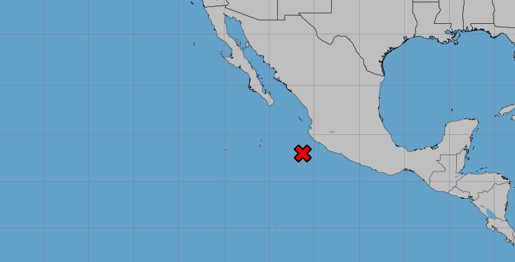
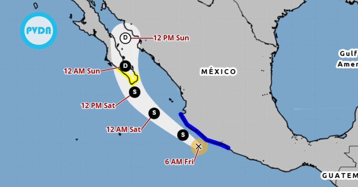
Puerto Vallarta, Mexico – A broad area of low pressure situated a few hundred miles southwest of the Mexican coast is showing signs of further development as it continues to produce widespread showers and thunderstorms. This weather system, which stretches from the coast of Mexico and extends several hundred miles offshore, is expected to develop into a tropical depression in the coming days, with potential impact on the Puerto Vallarta region.