Puerto Vallarta, Mexico – The Ministry of the Navy (Semar) has issued its annual forecast for the upcoming tropical cyclone season, warning of a total of 18 strong and intense hurricanes expected across the Pacific and Atlantic basins. The tropical cyclone season begins on May 15 in the Pacific Ocean and on June 1 in the Atlantic Ocean, including the Gulf of Mexico and the Caribbean Sea.
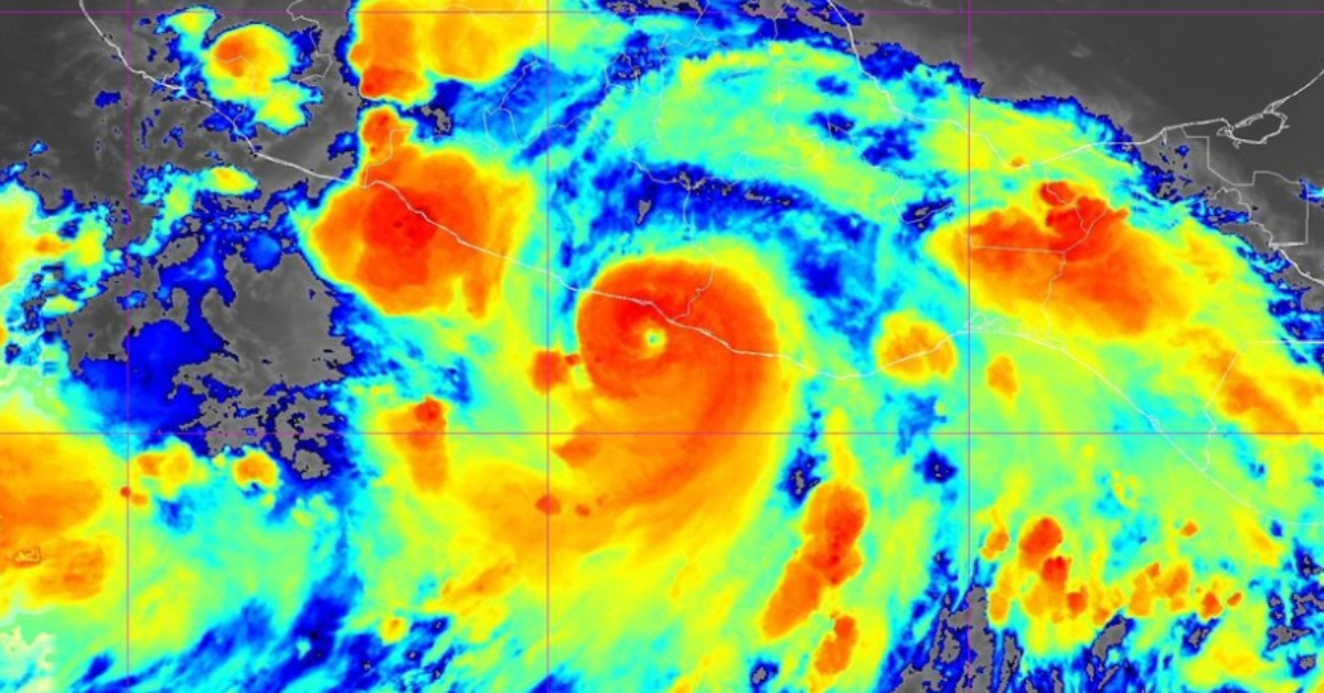
According to Semar, one tropical depression, eight tropical storms, six major hurricanes, and four intense hurricanes are anticipated in the Pacific Ocean. Meanwhile, the Atlantic basin may experience two tropical depressions, seven tropical storms, four major hurricanes, and four intense hurricanes through November 30.
Rainfall Expectations
This heightened activity is projected to bring above-average rainfall to the central and southern Pacific coasts of Mexico and along the Gulf of Mexico, although below-average precipitation is expected in the Northwest. In June 2025, forecasts suggest near or above-average rain for most of the country, with the exception of the Northeast and Southeast regions, which are likely to see below-average rainfall. By July, the Yucatán Peninsula may experience a decrease in rainfall, while the rest of the country should remain near or at average levels.
Naming Conventions
Since 1953, tropical cyclones have been named once they reach at least tropical storm strength. This protocol, established by the National Hurricane Center (NHC) and overseen by the World Meteorological Organization (WMO), uses lists that repeat every six years. Notably destructive storms have their names retired and replaced to avoid confusion.
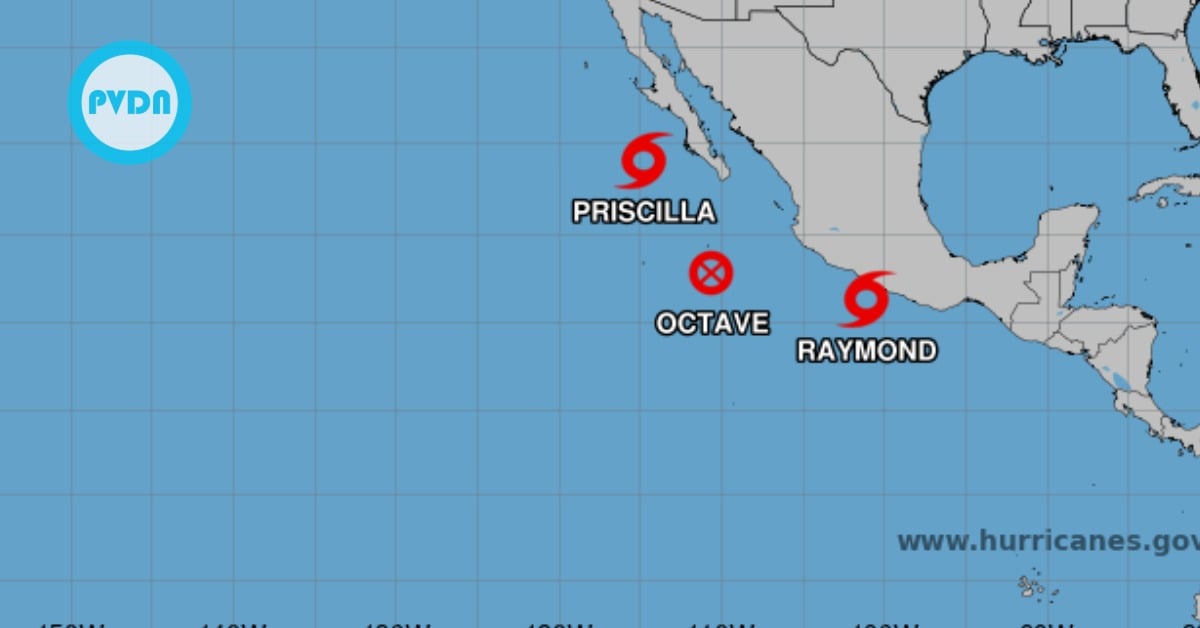
For the Pacific, the official names for the 2025 season include: Alvin, Barbara, Cosme, Dalila, Erick, Flossie, Gil, Henriette, Ivo, Juliette, Kiko, Lorena, Mario, Narda, Octave, Priscilla, Raymond, Sonia, Tico, Velma, Wallis, Xina, York, Zelda
Historical Context and Recent Impact
Mexico’s location between two major cyclogenetic zones (the Northeast Pacific and the Atlantic) makes the country especially vulnerable to tropical cyclones developing in both bodies of water. According to the Meteorological Directorate of Semar, the 2024 tropical cyclone season saw the Guerrero coast hardest hit, particularly by Hurricane John when it reached Category 3 and impacted both the South Pacific coast and parts of central Mexico.
Meanwhile, the Yucatán Peninsula experienced significant effects from Hurricane Beryl (Category 2) as well as Tropical Storms Nadine and Sara. The Veracruz coast was affected by Tropical Storms Alberto and Chris.
With this season’s higher-than-average cyclone activity, residents along Mexico’s coasts are urged to remain on alert, follow local weather updates, and heed any instructions from authorities regarding evacuation or other safety measures. The Semar forecast underscores the importance of preparedness in coastal communities, where strong storms can quickly affect both infrastructure and livelihoods.
For more detailed information, the public is encouraged to consult official channels, including the Ministry of the Navy (Semar), the National Hurricane Center (NHC), and regional weather services.
Puerto Vallarta, Mexico - The Ministry of the Navy (Semar) has issued its annual forecast for the upcoming tropical cyclone season, warning of a total of 18 strong and intense hurricanes expected across the Pacific and Atlantic basins. The tropical cyclone season begins on May 15 in the Pacific Ocean and on June 1 in the Atlantic Ocean, including the Gulf of Mexico and the Caribbean Sea.