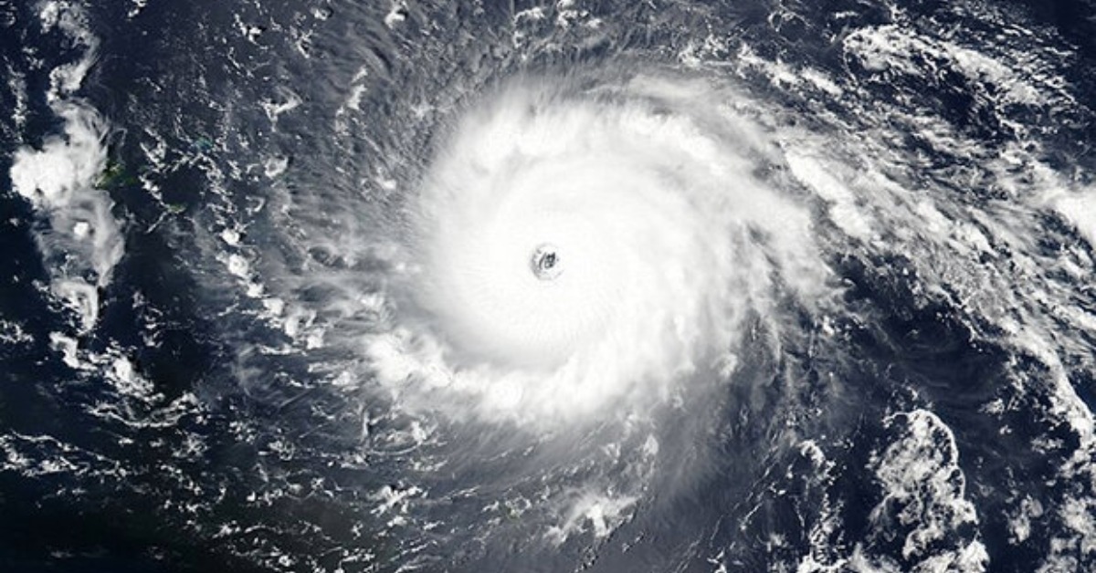
A developing El Niño is emerging as the climate signal to watch in Quintana Roo this year. That does not mean the Atlantic is no longer important. It means the bigger story may be broader and less obvious than a storm track on a map.
Right now, forecasters say ENSO-neutral conditions are still in place. In simple terms, the Pacific is between La Niña and El Niño. But the latest outlook shows El Niño is likely to emerge between May and July and continue through at least the end of 2026. That matters because El Niño can shape weather across Mexico even when it forms far from the Caribbean coast.
An early Atlantic outlook also points to a slightly quieter hurricane season than average. That has helped shift attention toward the wider climate pattern instead. Still, that quieter forecast is not Mexico’s final official hurricane outlook. National forecasters are expected to publish that later in the season buildup. So the story here is not that storms are no longer a concern. The story is that El Niño may influence daily conditions for longer and in more ways.
What that could mean for Cancún and Playa del Carmen
For Quintana Roo, the risk is not only about whether fewer hurricanes form in the Atlantic. It is also about what happens to rainfall, temperature, and marine conditions if El Niño strengthens later this year.
Climate specialists say El Niño can shift how moisture moves across Mexico. In the south and southeast, that can mean drier conditions during some periods, even while other parts of the country see more rain. In a tourism-heavy state, that matters beyond agriculture. It can affect water management, heat exposure, fire risk, beach conditions, and the pressure placed on fragile coastal ecosystems.
That is where the state’s dependence on its coastline becomes part of the story. Cancún, Playa del Carmen, and nearby communities do not just depend on calm weather. They depend on healthy beaches, functioning reefs, and seas that stay attractive to residents and visitors. When ocean conditions change, the effects can spread through tourism, public services, and local business activity.
Marine stress is especially important. Warmer seas can raise pressure on coral reefs and other coastal habitats. That does not mean every reef problem in 2026 will come from El Niño alone. But it does mean the state may enter the second half of the year with less margin for error if ocean heat and seasonal pressures build simultaneously.
The coast is already showing how exposed it is
There is already a reminder of how sensitive the region is to changing sea conditions. On April 14, a statewide sargassum update found only a small number of monitored beaches without recale, while many others showed low, moderate, abundant, or excessive arrivals. That snapshot does not prove El Niño is driving the current season. Sargassum is shaped by several factors. But it does show how exposed the Caribbean coast remains to wider marine and weather stress.
That matters because people often think climate risk begins when a cyclone enters the forecast cone. In Quintana Roo, that is only part of the picture. Beach erosion, reef stress, seaweed arrivals, heat, and water pressure can all affect daily life before hurricane season peaks.
Recent coastal work across the state also points in the same direction. Beach restoration plans, shoreline protection efforts, and recurring sargassum response measures all reflect a basic reality. The coast is not dealing with one isolated threat. It is dealing with a stack of pressures that can reinforce each other.
A quieter Atlantic hurricane season would not make 2026 a safe year
It is important not to take the wrong lesson from a below-average Atlantic forecast. A quieter season on paper can still produce a damaging storm. Quintana Roo does not need many cyclones to have a serious problem. It only takes one landfall, or even one close pass, to disrupt power, flood roads, damage beaches, and hit tourism during a sensitive period.
That is why local preparedness should not ease just because the seasonal numbers may come in lower. The official Atlantic hurricane season still begins on June 1 and runs through November 30. Residents and businesses should continue treating storm readiness as essential.
The better way to read the 2026 setup is this. Storm danger may be somewhat lower than in a very active Atlantic year, but climate pressure could be broader. El Niño may influence the background conditions that shape life in Quintana Roo for months. That includes how hot it feels, how rain falls, how the sea behaves, and how much strain falls on beaches and reefs.
Why this matters to readers living in Mexico
For many readers in Quintana Roo, the practical question is not whether El Niño sounds more dramatic than hurricanes. Which pattern is more likely to affect normal life? In 2026, the answer may be El Niño, because its effects could manifest in many small ways over a longer period.
That could mean hotter weeks, less predictable rainfall, more attention to water use, closer monitoring of beach conditions, and fresh pressure on the tourism economy if marine conditions worsen. For foreign residents, this is the kind of climate shift that can affect routine decisions, from travel planning to home preparation to when and where beaches remain most usable.
The larger warning is simple. A lower storm count would not mean a low-risk year for Quintana Roo. It may just mean the risk arrives differently.