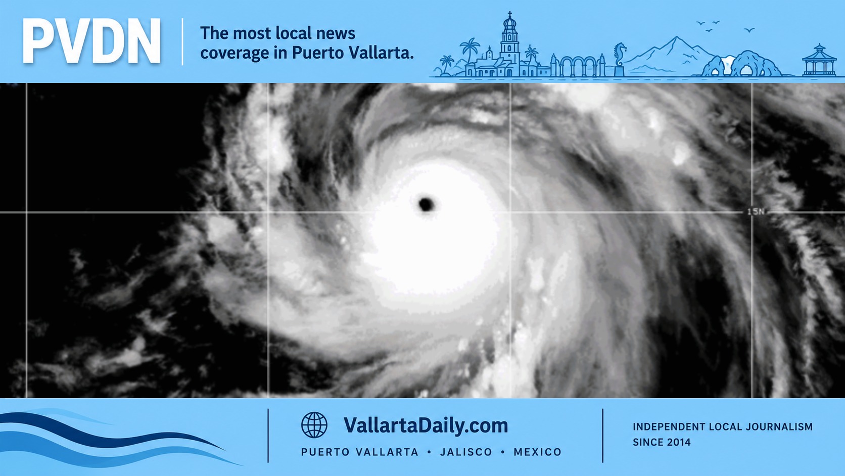
Puerto Vallarta, Jalisco, July 27, 2026 — Hurricane Genevieve reached Category 5 strength early Monday over the open Pacific, completing a rapid intensification that lifted its sustained winds from 55 km/h to 260 km/h in less than three days.
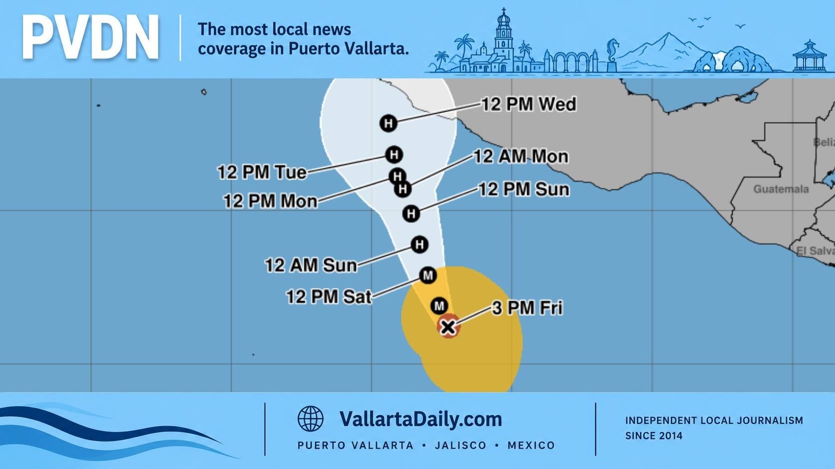
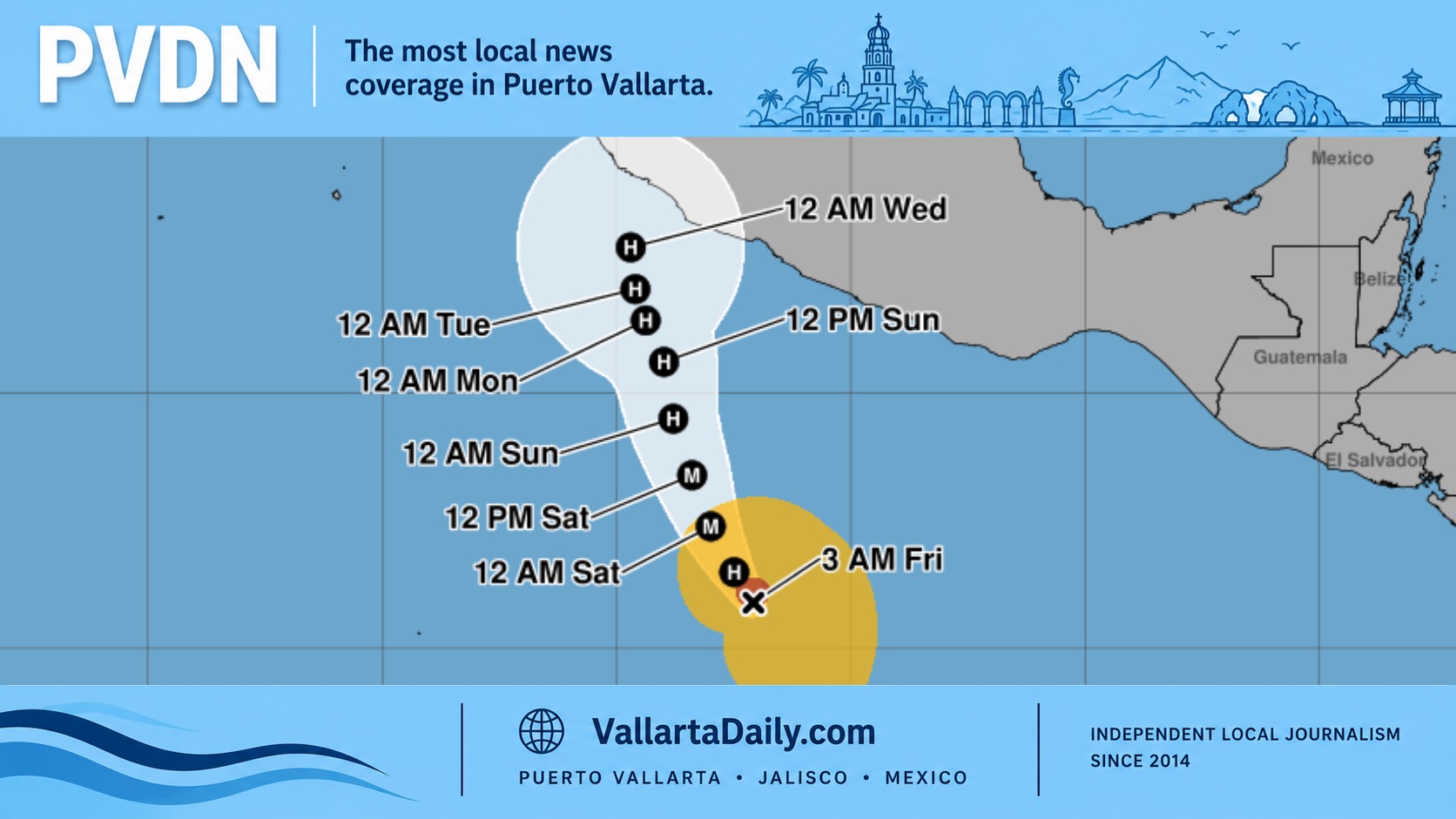
The hurricane remained far from land and was moving northwest, away from mainland Mexico. No coastal watches or warnings were in effect, and the projected track did not indicate a direct strike on Puerto Vallarta, Jalisco or the Baja California Peninsula.
The main concerns along the coast are elevated seas, dangerous surf and rip currents rather than the hurricane’s destructive inner-core winds.
Genevieve was centered near latitude 15.5 north and longitude 112.2 west at 2 a.m. Mountain Time, about 855 kilometers south-southwest of the southern tip of Baja California. The storm was moving northwest at 20 km/h with a minimum central pressure of 925 millibars, according to the National Hurricane Center’s early Monday advisory.
Hurricane-force winds extended 75 kilometers from the center, while tropical-storm-force winds reached outward as much as 315 kilometers. Those wind fields remained well offshore.
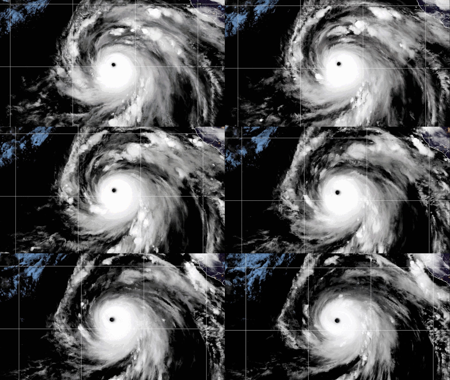
Genevieve began Friday morning as Tropical Depression Seven-E with winds of 55 km/h. PVDN reported at the time that the system was expected to strengthen rapidly while remaining far south of Mexico. By early Monday, its winds had increased by 205 km/h over approximately 66 hours.
The hurricane is the first Category 5 cyclone in the eastern Pacific since Kristy reached the same intensity in October 2024. Kristy also remained over open water and produced no reported deaths or damage, according to the National Hurricane Center’s final report.
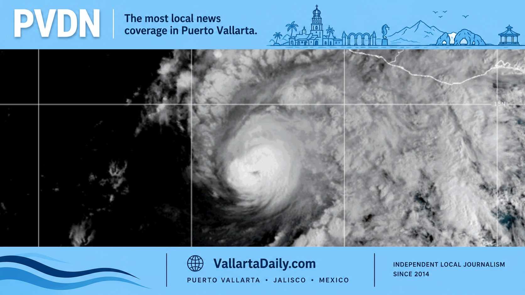
Satellite estimates placed Genevieve at the Category 5 threshold with sustained winds of 140 knots. Forecasters observed a clear eye surrounded by expanding areas of very cold cloud tops, signs that the hurricane’s circulation had become exceptionally organized.
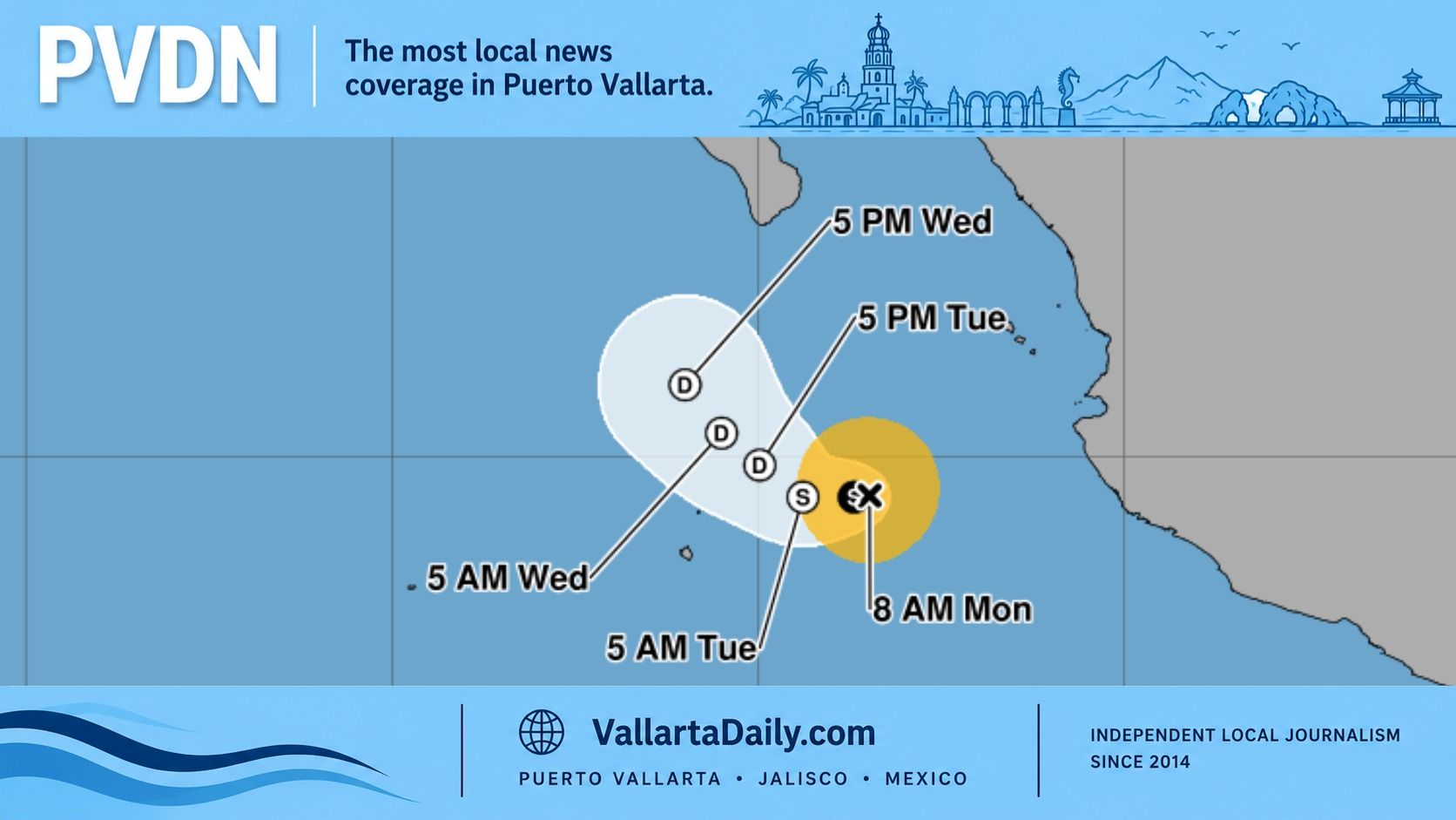
Some fluctuations remain possible Monday, especially if Genevieve begins an eyewall replacement cycle. The official intensity forecast calls for weakening to begin Tuesday as the hurricane moves across cooler water and into a drier, more stable atmosphere. Genevieve could remain a major hurricane through Wednesday before weakening more substantially later in the week.
Along the Jalisco and Nayarit coasts, Mexico’s National Meteorological Service expects seas of two to three meters Monday. The outlook also includes very heavy rain in western Jalisco, wind gusts reaching 50 to 70 km/h in parts of the state and the possibility of flooding, rising streams, landslides and reduced visibility.
Not all of Monday’s rain risk can be attributed directly to Genevieve. Several atmospheric systems are influencing western Mexico, including upper-level circulations, troughs and low-pressure channels. Genevieve is contributing Pacific moisture and swells while its center remains hundreds of kilometers offshore.
Puerto Vallarta beaches were already under heightened caution because of elevated surf and rip currents during the weekend. Conditions can vary between beaches inside Banderas Bay and more exposed stretches of coastline. Swimmers should follow posted beach flags and lifeguard instructions, particularly near river mouths and areas where waves are breaking more forcefully than usual.
Genevieve’s Category 5 rating describes winds near the hurricane’s center. It does not mean Category 5 conditions are reaching Puerto Vallarta. The local issues to watch Monday are rougher coastal water, strong currents, and heavy rainfall that could affect low-lying streets and flood-prone crossings.