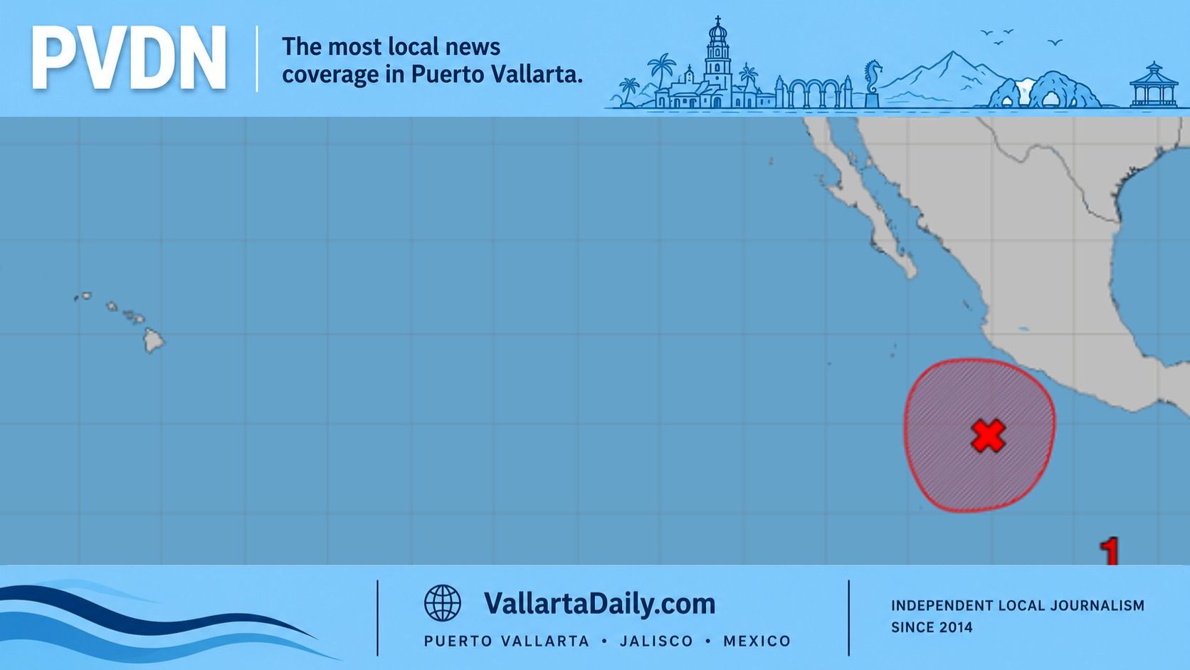
Puerto Vallarta, Jalisco, Sept. 21, 2026 — Tropical Depression Seventeen-E formed Sunday and is forecast to become a major hurricane off Mexico this week, the National Hurricane Center said.
At 3 p.m. Sunday, the depression had sustained winds of 35 mph and was 285 miles south of Manzanillo. The center’s first advisory projected hurricane strength by Tuesday.
The NHC and Mexican forecasts I reviewed for PVDN keep the projected center offshore through Friday. Neither specifies a Puerto Vallarta landfall.
Rain and flooding risks in Puerto Vallarta
The hurricane center’s rainfall forecast through Thursday calls for 4–8 inches across coastal portions of Jalisco, Colima and Michoacán. Isolated totals could reach 12 inches, or about 305 millimeters.
“This rainfall may produce life-threatening flooding and mudslides, especially in areas of steep terrain,” the center warned.
Those are regional totals over several days. The advisory does not assign that rainfall range to individual Puerto Vallarta neighborhoods.
Municipal Civil Protection’s seasonal flood-risk records identify recurring problems at Avenida Francisco Medina Ascencio and Politécnico Nacional. They also identify sections of state Highway 544 and Calle Quimixto in the Portales neighborhood.
The department’s records include Las Juntas, Bobadilla and La Floresta, along with flood risks around the Cuale and Pitillal rivers. These locations had documented rain-related problems before Seventeen-E formed.
Mexico’s National Meteorological Service also forecast waves of 1.5–2.5 meters along Jalisco’s coast in its initial cyclone bulletin. That forecast covers the state’s coastline and does not specify wave heights at individual beaches inside Banderas Bay.
Forecast brings the hurricane toward Cabo Corrientes
The Mexican weather service’s initial track places the system at Category 3 strength by noon Wednesday, Sept. 23. Forecast sustained winds reach 185 kph, or 115 mph.
Its forecast positions put the center 120 kilometers south-southwest of Manzanillo at noon Thursday. By noon Friday, the forecast places it 220 kilometers southwest of Cabo Corrientes, south of Puerto Vallarta.
Those positions describe the projected center at specific times. The 115 mph figure describes the cyclone’s maximum sustained winds; it is not a wind forecast for Puerto Vallarta.
The hurricane center’s first advisory listed no coastal watches or warnings. Its discussion said the location and severity of coastal impacts remained uncertain.
Warm water favors strengthening
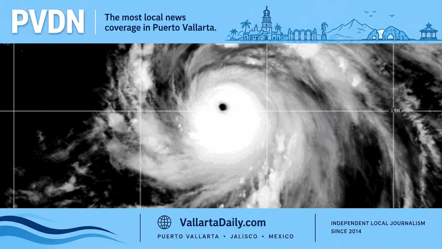
The hurricane center cited very warm ocean water and weak vertical wind shear as conditions favoring strengthening. It expected the system to turn east before moving northwest later in the forecast period.
Meteorologist Alex Duffus also warned of strengthening in a separate forecast published Sunday.
“This storm has the potential to intensify into a powerful hurricane rapidly,” Duffus said. His forecast identified Puerto Vallarta among locations facing heavy rain, strong gusts and dangerous surf this week.
Seventeen-E developed from Invest 99E, the disturbance covered in our earlier report on Puerto Vallarta’s cyclone monitoring.
Municipal Civil Protection’s seasonal guidance urges residents to avoid crossing moving water or driving through flooded streets.