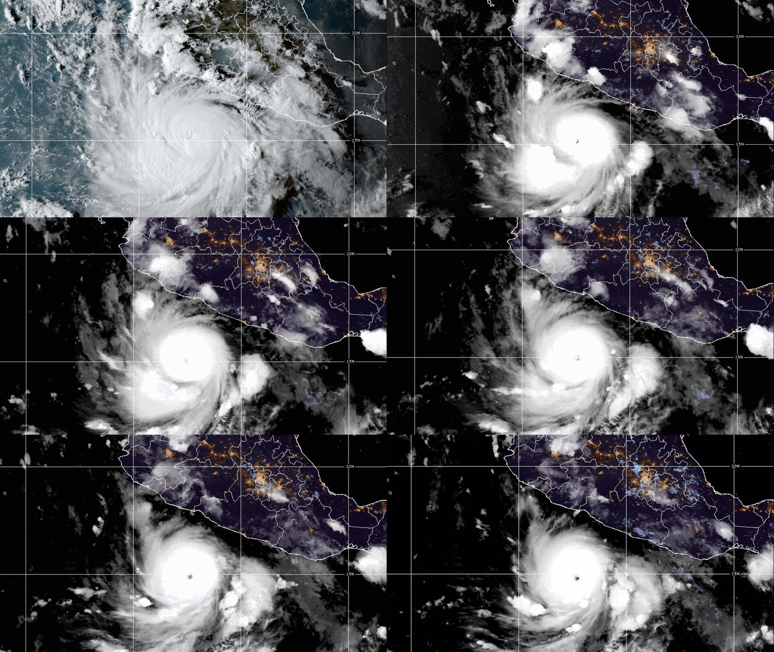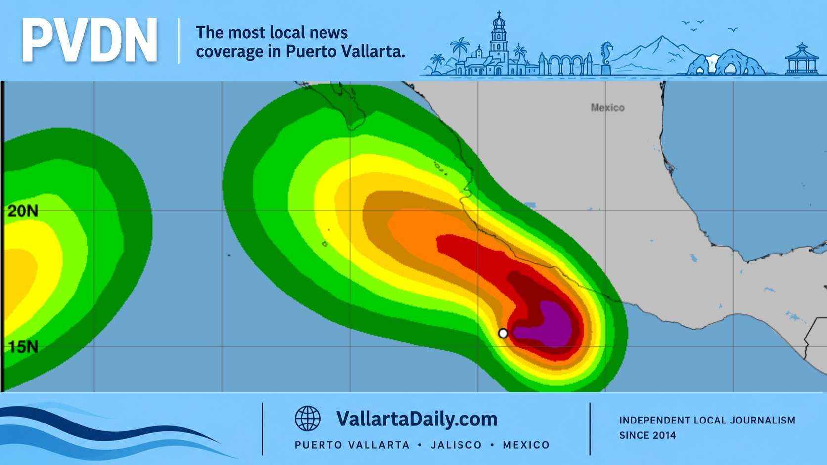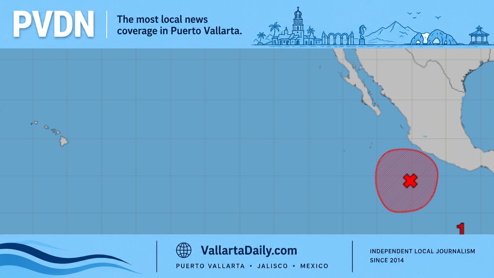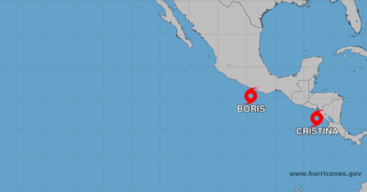
Cristina formed quickly off Nicaragua on Monday, putting Central America under tropical storm warnings while Mexico was already tracking Boris closer to home. Forecasters are watching the storm’s slow move near the coast, where rain, wind, and rough seas could build through midweek. The warning area does not include Puerto Vallarta, but the Pacific season is clearly waking up early, with named storms arriving in quick order and emergency agencies already moving from routine watch to active alerts.
Cristina forms south of Central America
Tropical Storm Cristina formed Monday in the eastern Pacific off Nicaragua, adding another named storm to a basin already busy with Boris near southern Mexico.
The latest special advisory from the National Hurricane Center placed Cristina about 100 miles west-southwest of Managua and 170 miles southeast of San Salvador at noon CST. Maximum sustained winds had reached 45 mph, with higher gusts, and the storm was moving north at 5 mph.
Forecaster Bucci wrote that “recent scatterometer data has revealed reliable surface winds” at tropical storm strength. That was enough to upgrade Tropical Depression Three-E and issue a special advisory before the next routine update.
A tropical storm warning covered the Pacific coast from Puerto Sandino in Nicaragua to the Guatemala and El Salvador border. Honduras also issued a warning for its Pacific coast, along the Gulf of Fonseca between Nicaragua and El Salvador.
Forecast keeps Cristina near the coast
Cristina was expected to turn northwest Monday evening or Tuesday morning. After that, the storm should run near the coasts of Nicaragua, Honduras, and El Salvador through Tuesday.
The forecast called for some gradual strengthening over the next couple of days. Tropical-storm-force winds already reached up to 90 miles from the center. That gives small track shifts more weight for coastal towns.
The larger threat was water. Forecasters said Cristina could drop 4 to 8 inches of rain across coastal Nicaragua, Honduras, El Salvador, and Guatemala through Thursday morning. Isolated totals could reach 12 inches. The center warned that the rainfall could produce “life-threatening flooding and mudslides,” especially in steep terrain.
Near areas with onshore winds, storm surge could also push water onto the coast. The advisory said the surge may come with large, damaging waves.
El Salvador raises alert level
El Salvador’s civil protection agency declared a national orange alert Monday after Cristina strengthened off Central America. Its notice said the storm would pull Pacific moisture into the country, increasing cloud cover and rain.
The agency called it “ORANGE ALERT NATIONWIDE DUE TO THE INFLUENCE OF TROPICAL STORM CRISTINA.” It also suspended maritime navigation, artisanal fishing, and sport fishing until further notice because of weather and sea conditions.
Officials urged people to avoid rivers, ravines, and fast-moving runoff during and after heavy rain. That warning is familiar across Central America. Mountain terrain can turn a tropical storm’s outer bands into flood events well away from the center.
A busy start to the Pacific season
Cristina is the third named storm of the 2026 eastern Pacific season, following Amanda and Boris. Its formation came while Boris remained the immediate Mexico storm near Guerrero and Oaxaca, keeping Mexico’s southern Pacific coast under its own rain and surf concerns.
Puerto Vallarta was not inside Cristina’s warning area. The storm’s track sat far to the southeast, closer to Central America than Jalisco. Still, the quick sequence of systems fits the early-season pattern already discussed in the Puerto Vallarta Hurricane Season Guide, with the eastern Pacific season running from May 15 through November 30.
The warning zone remained focused on Central America by Monday afternoon. NHC said its next complete advisory would be issued at 3 p.m. CST.