The 2022 hurricane season is about to begin, both in the Northeast Pacific and in the North Atlantic, which can bring with them intense winds, torrential rains, landslides, among other effects. Given this, it is important to know what hurricanes are, how they are classified, associated dangers and risks, among other data to be prepared.
What are tropical cyclones?
A tropical cyclone is an organized system of clouds and storms that originates over tropical waters and has a closed center of circulation in the lower levels of the atmosphere. Tropical cyclones rotate, around a low-pressure center, counterclockwise in the northern hemisphere while they rotate clockwise in the southern hemisphere. Hurricanes are tropical cyclones and many times in Mexico, hurricanes are referred to as tropical cyclones.
What is the origin of tropical cyclones?
Tropical cyclones form over warm tropical waters with sea surface temperatures greater than 27°C. Warm, moist air over the oceans rises from near the surface.
As warm, moist air rises, less air remains near the surface, causing an area of lower air pressure near the ocean. Higher pressure (denser) air from surrounding areas fills the low-pressure area.
As the warm, moist air continues to rise, the surrounding incoming air bends, thanks to the Coriolis effect, generates a rotating movement.
As warm, moist air rises, it cools, causing the formation of clouds and areas of thunderstorms. This agglomeration of clouds, storms, and rotating air grows, fueled by heat from the ocean and heat released during cloud formation. The warmer the water at the sea surface, the greater the evaporation, providing moisture for the cyclone. Another factor to consider is that there must be weak winds in the upper atmosphere, strong winds disorganize the system and prevent its development.
The closer you are to the center of the system, the faster the winds will turn, leading to the formation of the famous “eye” of a hurricane. While in the regions close to the eye (called the eyewall) they present the strongest winds and rains. Inside the eye, there is relative calm, in addition to being the area with the lowest pressure in the system.
Classification of tropical cyclones
Tropical cyclones are classified into three stages of evolution according to the speed of their maximum sustained 1-minute winds:
- Tropical depression: when its winds are less than 63 km/h.
- Tropical storm: comprising winds between 63 km/h and 118 km/h.
- Hurricane: when presenting winds with a speed greater than 118 km/h. At this stage, the eye begins to form. Hurricanes are classified into 5 categories according to the speed of their maximum sustained winds using the Saffir-Simpson scale:
- Category 1 – 119-153km/h
- Category 2 – 154-177km/h
- Category 3 (high intensity hurricane) – 178-208 km/h
- Category 4 (high intensity hurricane) – 209-251 km/h
- Category 5 (high intensity hurricane) – 252 km/h or higher
It should be noted that the term “TROPICAL CYCLONE” is a generic concept that ranges from a tropical depression to a category 5 hurricane, used in both the North Atlantic and the Northeast Pacific, as well as the terms typhoon (used in the Northwest Pacific) and Cyclone tropical (South Pacific).
Hazards and risks associated with tropical cyclones
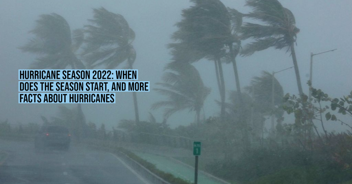
Intense Winds: The most intense hurricanes can present sustained winds greater than 178 km/h and gusts that exceed 200 km/h or higher, launching loose objects at high speed, knocking down trees, branches, signs, and detaching roofs.
Torrential rains: it is not necessary for an intense hurricane to occur, a tropical depression can leave in a few hours the equivalent of months of rain, causing floods, overflowing rivers, and landslides on unstable slopes.
Landslide of slopes: slopes of hills or mountains can detach due to intense rains that saturated the soil with water. Deforestation makes many of these slopes prone to slipping and causing severe damage to the population surrounding these areas.
Storm tides: it is an increase in the waves of the sea as a result of the intense winds and the drop in atmospheric pressure associated with the passage of a tropical cyclone, causing flooding in coastal regions.
Names that will be used in the 2022 season
The tropical cyclone season begins on May 15 in the Northeast Pacific, while in the North Atlantic it begins on June 1, concluding on November 30 in both ocean basins.
According to the World Meteorological Organization (WMO), the designated names for this year’s Northeast Pacific tropical storms and hurricanes are:
AGATHA, BLAS, CELIA, DARBY, ESTELLE, FRANK, GEORGETTE, HOWARD, IVETTE, JAVIER, KAY, LESTER, MADELEINE, NEWTON, ORLENE, PAINE, ROSLYN, SEYMOUR, TINA, VIRGIL, WINIFRED, XAVIER, YOLANDA, ZEKE.
While for the Atlantic these names will be used:
ALEX, BONNIE, COLIN, DANIELLE, EARL, FIONA, GASTON, HERMINE, IAN, JULIA, KARL, LISA, MARTIN, NICOLE, OWEN, PAULA, RICHARD, SHARY, TOBIAS, VIRGINIE, WALTER.
The 2022 hurricane season is about to begin, both in the Northeast Pacific and in the North Atlantic, which can bring with them intense . . .
")


