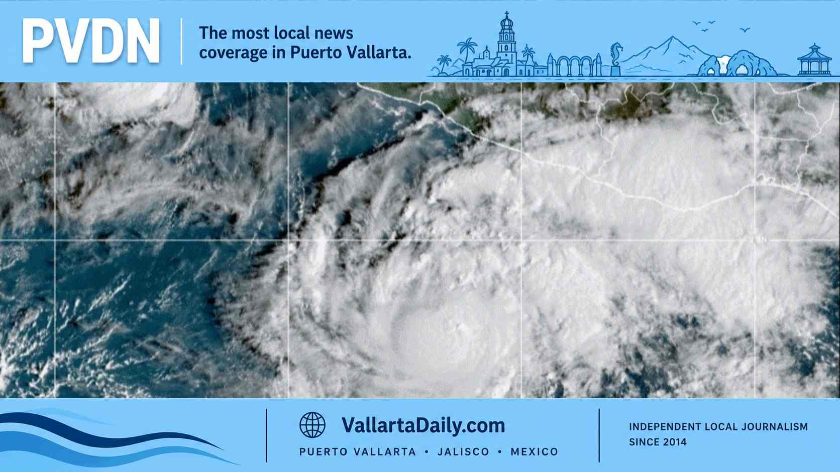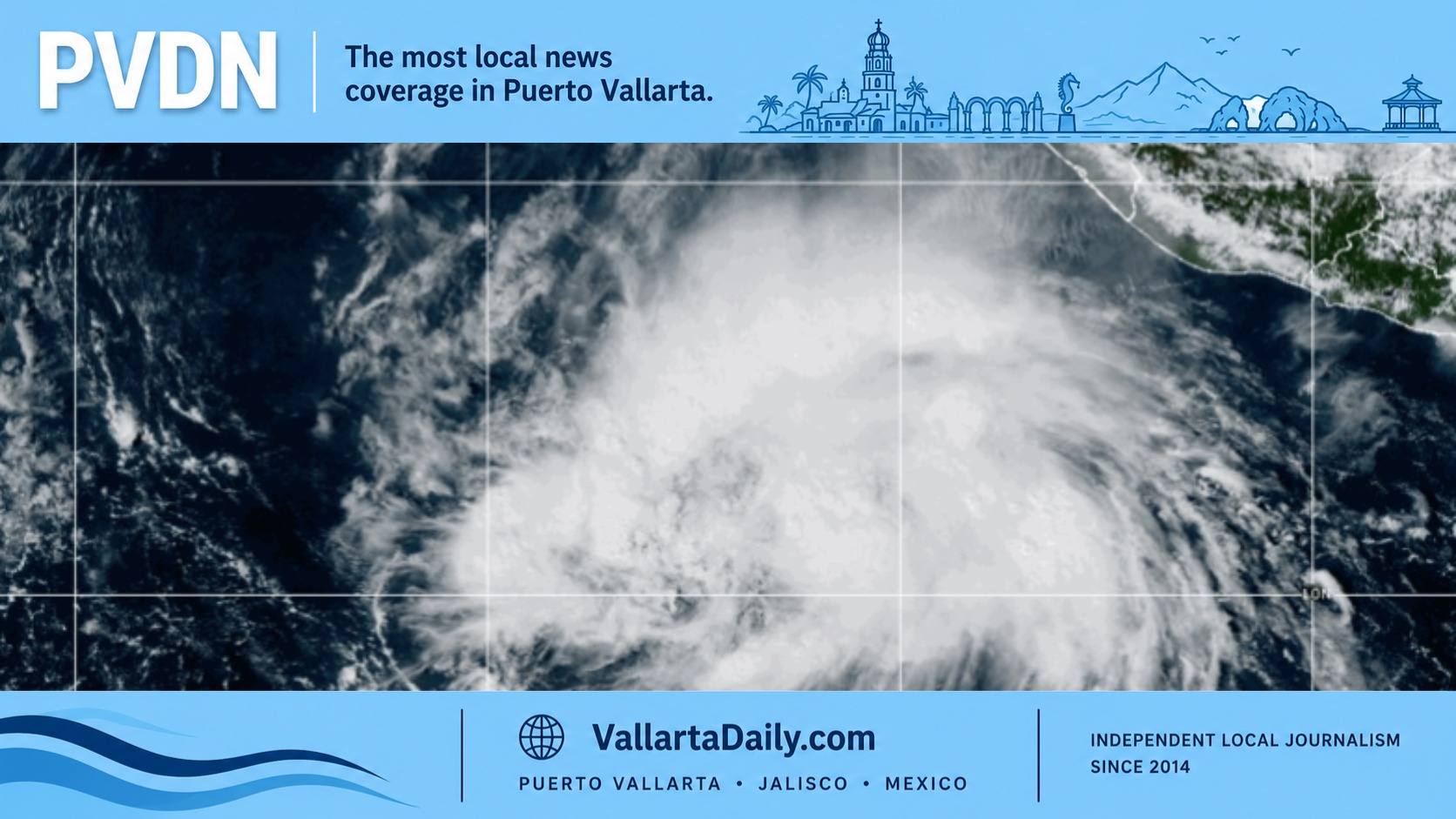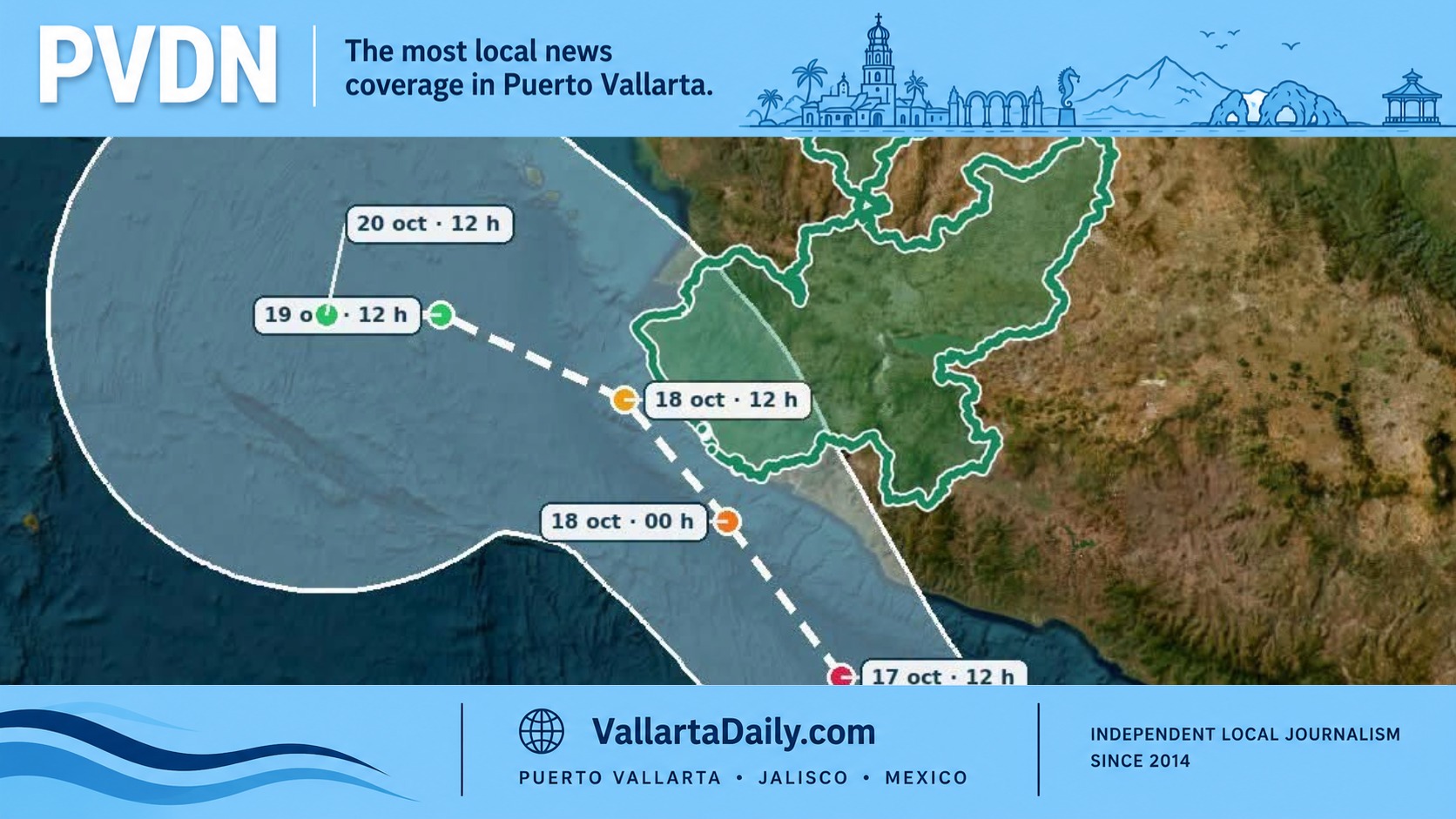
Puerto Vallarta, Jalisco, October 15, 2026 — Jalisco activated a yellow alert Thursday for its southern, coastal, and western mountain regions as Hurricane Trudy threatened to strengthen rapidly. You can follow our Hurricane Trudy Live Updates Feed.
The alert includes both the South Coast and North Coast. Authorities urged residents to follow official weather notices and instructions from federal, state and municipal Civil Protection agencies.
For Puerto Vallarta residents, the question is how much preparation to make while the hurricane remains well to the south.
By 3 p.m. Thursday, Mexico had issued a separate hurricane watch extending north of Punta San Telmo to Playa Pérula. The National Hurricane Center advisory places that northern endpoint south of Puerto Vallarta, leaving the city outside the watch area at that time. A hurricane watch means hurricane conditions are possible within the designated area.
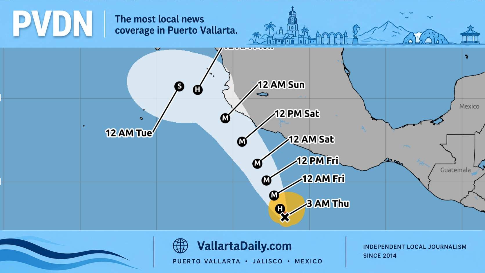
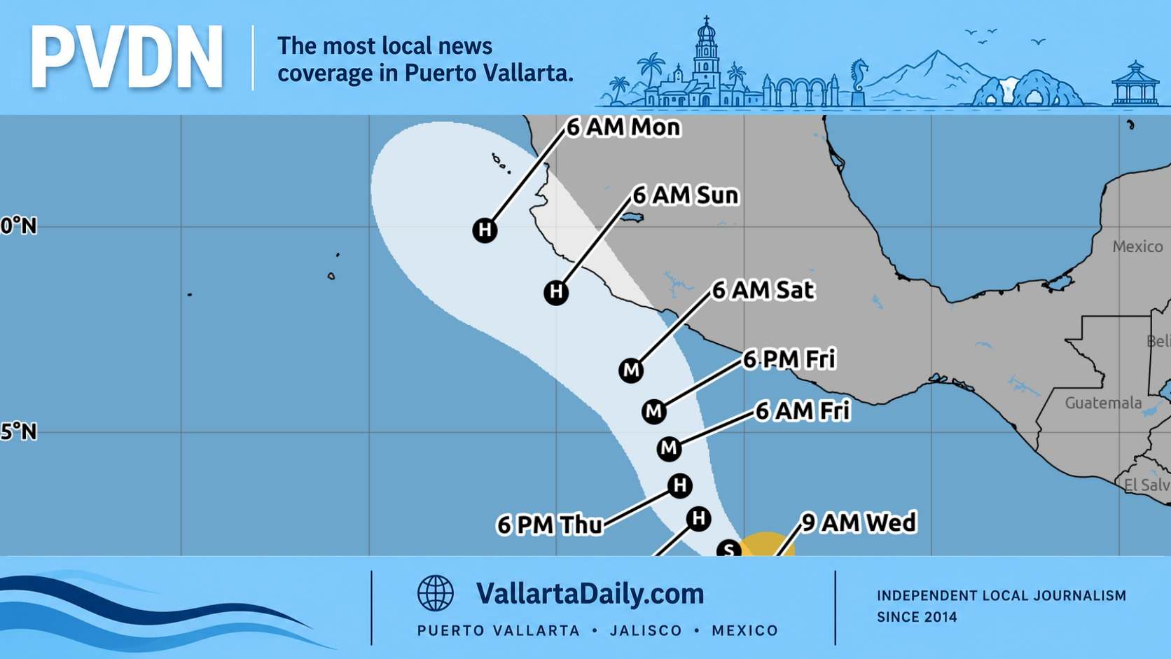
Trudy had sustained winds of 90 mph (about 150 km/h) and was about 650 kilometers south-southeast of Manzanillo. Its strengthening had temporarily paused, but the NHC’s afternoon forecast discussion anticipated renewed rapid intensification and retained a forecast peak near 145 mph, within Category 4 strength.
That forecast describes the hurricane’s strongest winds near its center. Puerto Vallarta’s own wind outlook was less severe, although still significant.
The NHC’s five-day wind probability forecast gave Puerto Vallarta a 37% chance of sustained tropical-storm-force winds (at least 39 mph or 63 km/h) and a 2% chance of hurricane-force winds. Those probabilities measure wind thresholds; they do not describe the likelihood of flooding or dangerous surf.
Yellow is the preparation stage in Mexico’s tropical cyclone alert system. The National Center for Disaster Prevention’s guidance for an approaching cyclone describes it as moderate danger and tells households, in translation, “Be prepared for a possible evacuation.”
The guidance calls on residents to identify their nearest temporary shelter and inland routes, store drinking water and nonperishable food, and keep important documents, a flashlight, a radio, and first-aid supplies accessible. Boat owners should follow navigation instructions and take vessels to a sheltered port.
For someone living in a condominium or renting a home here, those recommendations translate into practical arrangements: knowing who will secure the property, where essential documents are kept, and how to reach safer accommodation if local authorities instruct residents to leave.
Rain remains a concern across a much broader area than the hurricane’s strongest winds. The NHC forecast approximately 100 to 200 millimeters of rain, with isolated totals near 300 millimeters, along and near the coasts of Michoacán, Colima and Jalisco through the weekend. These are regional totals, not a forecast for every Puerto Vallarta neighborhood.
Forecasters warned that the rain could cause life-threatening flooding and mudslides, particularly near steep terrain. Large swells are also expected to create dangerous surf and rip currents along portions of southwestern Mexico’s coast.
The afternoon forecast kept Trudy’s center just offshore, but the NHC said a track farther east could bring it inland. That uncertainty gives residents a reason to finish preparations while continuing to follow forecast changes.
Authorities also mentioned cold front No. 2 in their broader weather warning. In Thursday’s SMN briefing, forecasters described the front’s expected advance across northern Mexico and the Gulf coast, while Trudy represented the developing Pacific coastal threat.
Vallarta Daily is following changes in its Hurricane Trudy warnings, closures and emergency updates. The next scheduled NHC bulletin is at 6 p.m. Puerto Vallarta time Thursday, followed by a full advisory at 9 p.m., when residents can check whether the coastal watch has expanded.