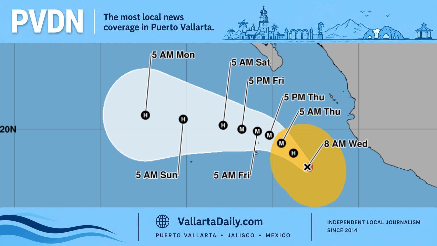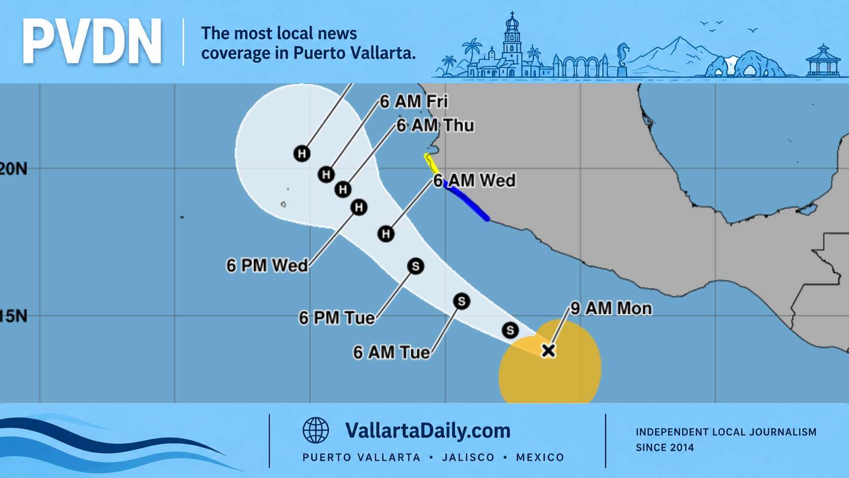
Puerto Vallarta, Jalisco, July 7, 2026 – A low-pressure system expected to form off Mexico’s southwestern Pacific coast is not a hurricane threat to Puerto Vallarta today, but it adds one more rain signal to a week already marked by thunderstorms, wet streets, and pressure on local infrastructure.
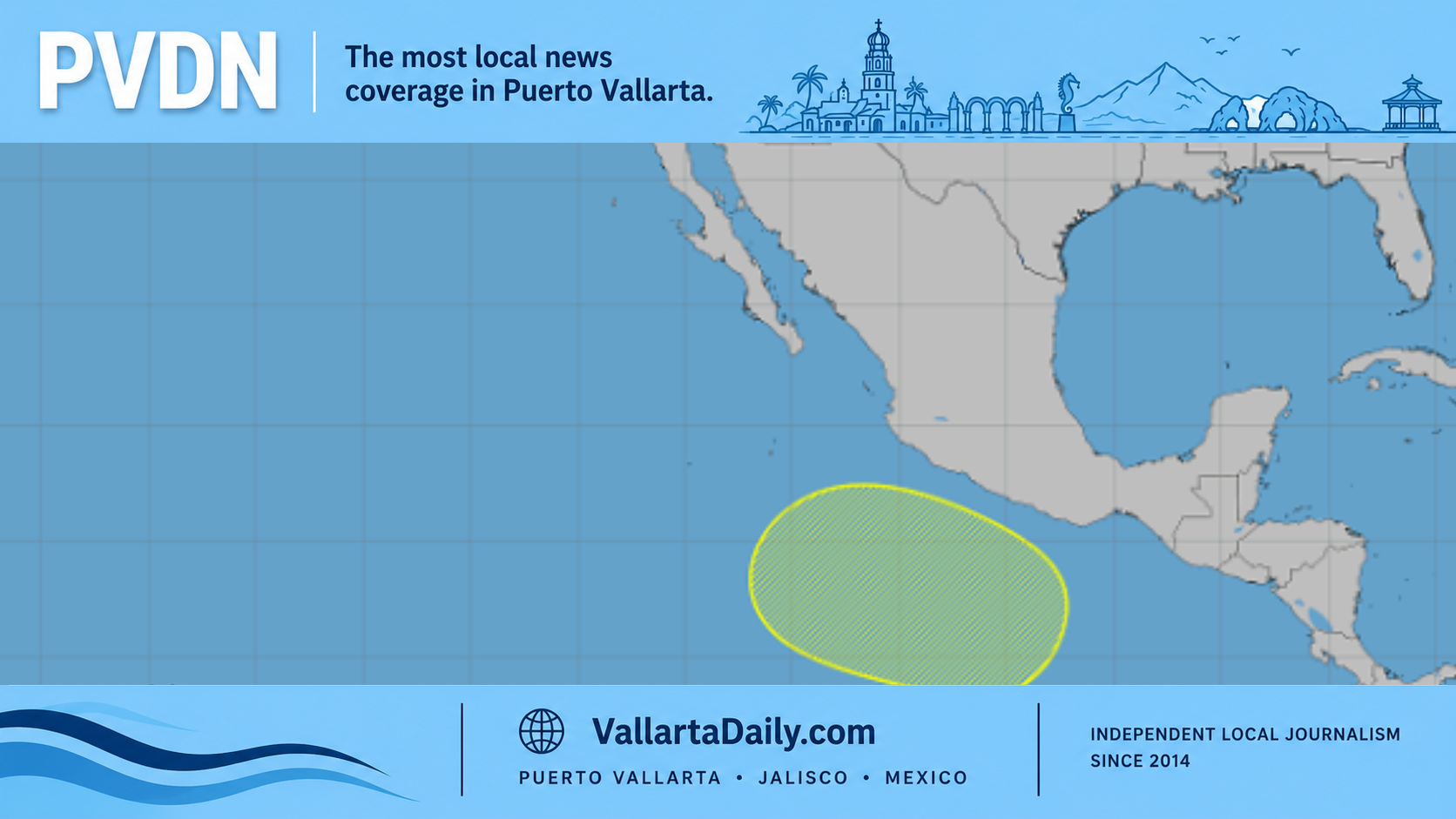
The National Hurricane Center said Tuesday that a low-pressure area is expected to form late this weekend or early next week several hundred miles south of southwestern Mexico. Gradual development is possible thereafter, with the system generally moving west-northwest.
At the time of the outlook, the system had a near-zero chance of forming within 48 hours and a 30% chance of developing within 7 days. No tropical storm or hurricane warning was in effect for Puerto Vallarta, and the outlook did not describe a direct landfall threat for Jalisco.
The issue for Puerto Vallarta this week is not wind from a named storm. It is the amount of moisture already moving through western Mexico during the rainy season, and how quickly local conditions can change when afternoon or evening storms sit over the bay, the mountains or the river basins that drain toward the city.
Mexico’s Servicio Meteorológico Nacional forecast a risk of rain across several Pacific states Tuesday, including Jalisco, Nayarit, Colima and Michoacán. For Puerto Vallarta, that keeps attention on the familiar problem areas: low-lying streets, river crossings, underpasses, unfinished public works, construction zones and neighborhoods where drainage backs up during heavy downpours.
PVDN’s July 7 local weather report already placed the day’s watch on afternoon thunderstorm risk, high humidity and elevated surf along Jalisco beaches. The developing offshore system is not the reason for every shower in the forecast, but it is part of the larger Pacific pattern that residents should keep checking through the weekend.
The local concern is practical. Heavy rain can turn unfinished work zones into pedestrian hazards, add standing water near Centro access routes and slow movement toward the Malecón. PVDN reported Monday that standing water, debris and broken barriers remain concerns around Jesús Langarica and 31 de Octubre near Parque Hidalgo, where rainy conditions make existing complaints harder to ignore.
Water service is another reason this forecast deserves attention even without a storm warning. SEAPAL has reported near-normal coverage after recent repair work and service interruptions, but rainy-season utility issues can change by neighborhood. The agency’s own site directs users to report leaks, complaints and drainage concerns through SEAPAL’s reporting channels, including 073 and WhatsApp at (322) 105 8226.
The National Hurricane Center’s offshore marine forecast for the waters off Colima and Jalisco called for generally light winds and 4- to 6-foot seas in south to southwest swell through much of the week. Beach conditions can still vary sharply by location, especially after storms or near river mouths, so posted lifeguard flags should be treated as the local authority before entering the water.