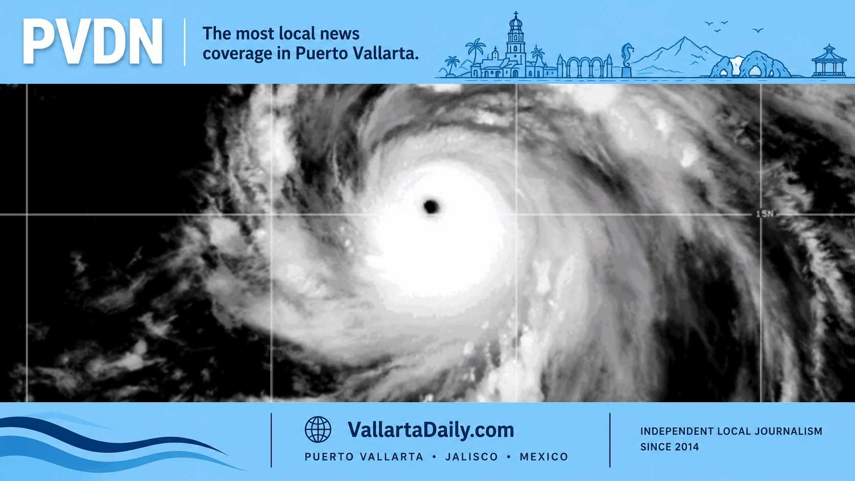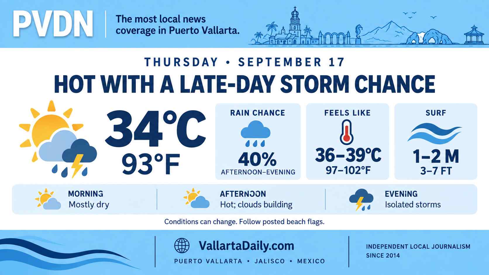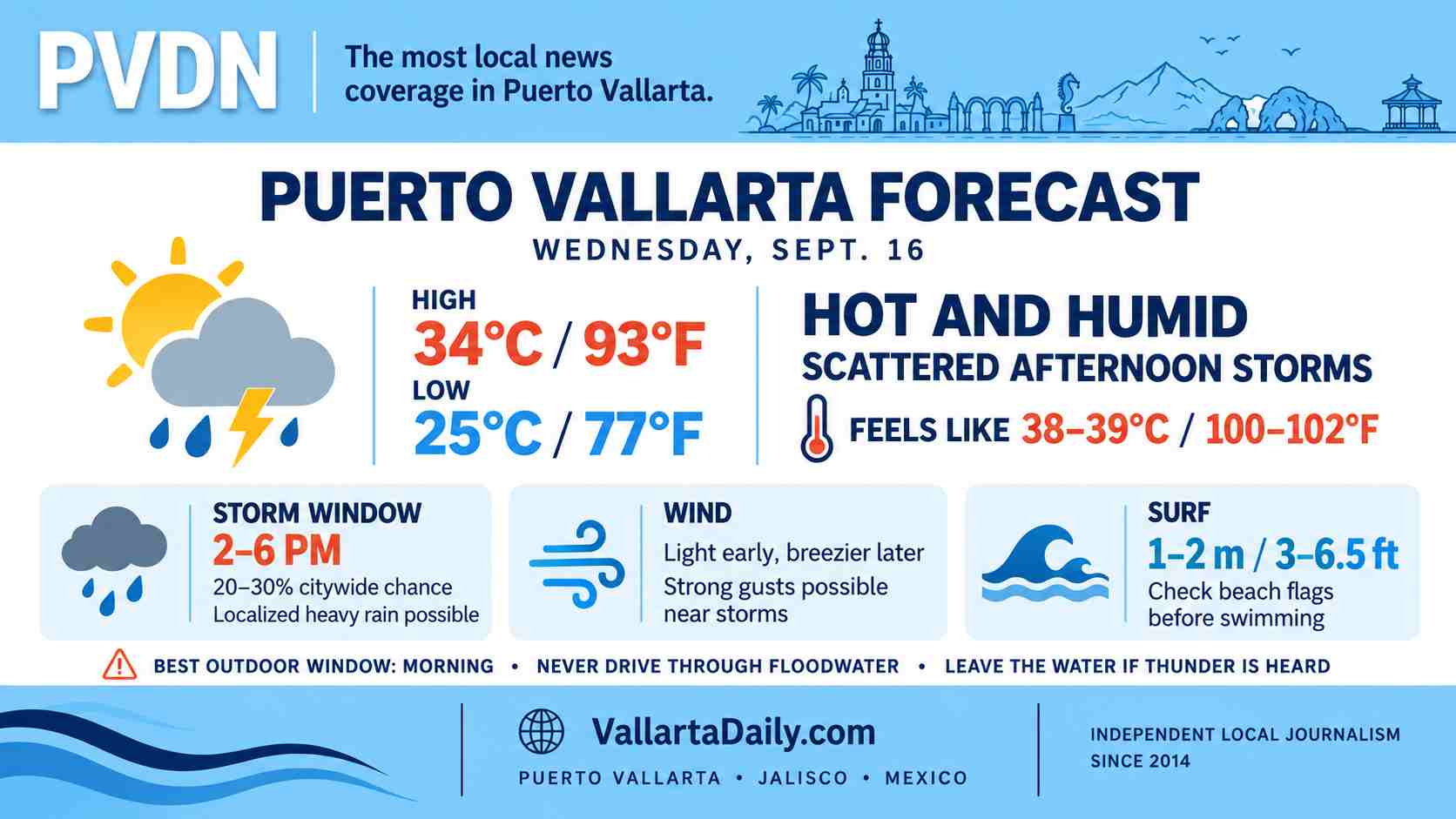
Puerto Vallarta, Jalisco, June 20, 2026 — Puerto Vallarta enters the weekend under a storm watch as Jalisco’s emergency alert system warns that heavy rain, lightning, possible hail, and strong wind gusts could affect parts of the state through Sunday.
The bigger local concern is Sunday. The state’s Jalisco Alerta weekend bulletin places “Costa Norte” among the regions expected to see relevant rainfall by the end of the weekend, and Puerto Vallarta is part of Jalisco’s Costa Norte region.
Saturday still carries a risk of rain, especially later in the day. But Sunday is the day residents, visitors, beach operators, drivers, and event organizers should treat as the more flexible planning day.
Why Sunday in Puerto Vallarta
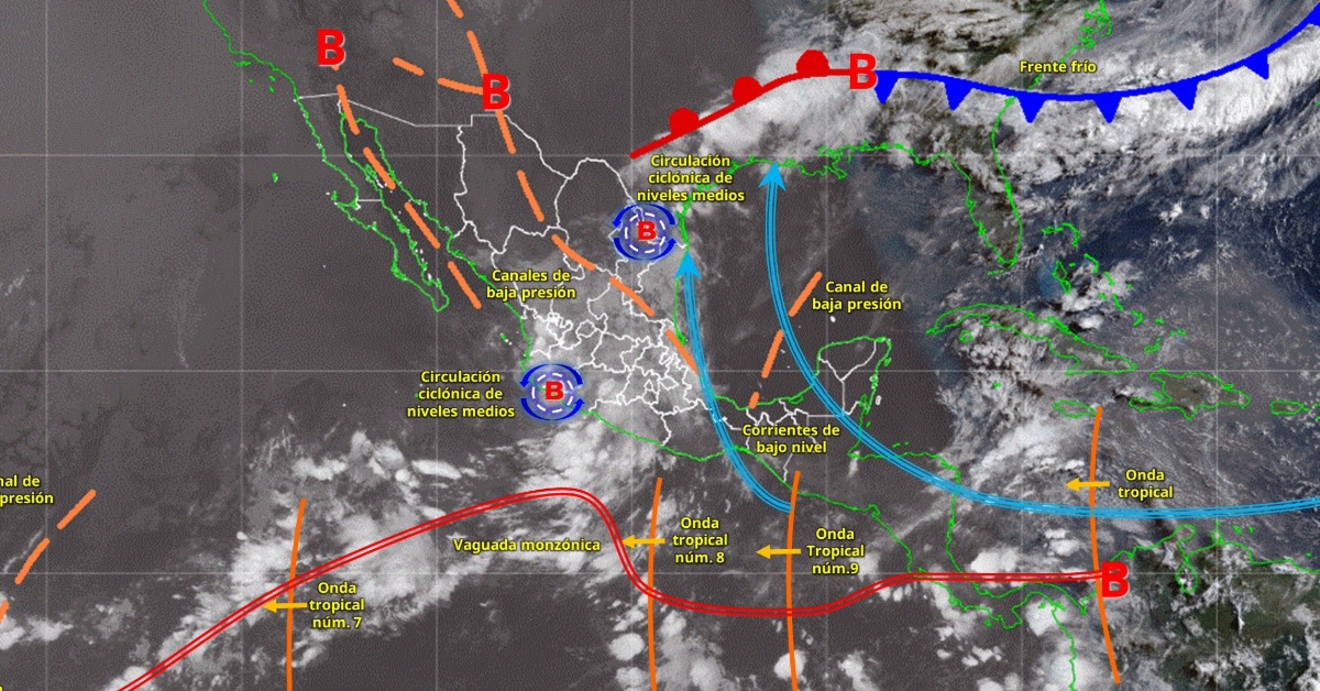
The storm setup is not one single system moving neatly across the map. It is a mix of tropical moisture, atmospheric instability, and local storm development that can turn a normal humid afternoon into a fast downpour.
In Puerto Vallarta, storms do not have to last long to cause trouble. A short burst can flood low spots, slow traffic on main corridors, push runoff toward river mouths, and make hillside or coastal roads slick.
Local forecasts for Puerto Vallarta keep rain in the picture both Saturday and Sunday, with the higher rainfall signal showing Sunday. Meteored’s Puerto Vallarta forecast shows rain chances rising into Sunday, while the current forecast also calls for cloudy afternoons with rain possible through the weekend.
Streets and arroyos can change quickly
For Vallarta, the risk is street-level disruption before anything looks like a major emergency. Drivers should watch low-lying intersections, underpasses, river-adjacent roads, and streets where drainage backs up during sudden rain.
A storm earlier this month flooded streets in Puerto Vallarta, slowed traffic on Federal 200, and brought down trees, including one that affected CFE lines.
PVDN also reported Friday that rivers in Puerto Vallarta remained below risk levels after early rains, but that does not eliminate the weekend concern. River and arroyo conditions can change when heavy rain falls upstream or over the mountains.
Beaches and outdoor plans need a backup
Beachgoers should leave the water when thunder is heard. Lightning can reach open sand, piers, palapas, umbrellas, metal railings, and beachside structures that feel safe but are not true shelter.
Outdoor events, beach clubs, restaurants, and evening gatherings should keep a clear rain plan. The state alert specifically warns that storms may come with intense electrical activity and strong gusts, not just rain.
What we are watching for PVDN
For PVDN, we are watching four local pressure points through Sunday night: rainfall over the hills above town, runoff near river mouths, ponding on major roads, and any beach-flag or port advisories that could affect water activities.
The official Jalisco Alerta app may also be useful this weekend because it sends geolocated alerts for storms, heavy rain, flooding, hurricanes, and other risks.
Before the next downpour
The best local rule is to move earlier, drive slower, and do not cross flooded streets, arroyos, or vados. If water is already moving across the road, the safer choice is to turn around.
Residents in flood-prone areas should keep phones charged, move vehicles away from low-lying areas when possible, and avoid leaving trash or debris that could block storm drains.
Visitors should build extra time into Sunday plans, especially for airport transfers, dinner reservations, beach outings, and drives south toward Mismaloya or north toward the airport corridor. The storm watch does not mean Vallarta will see severe weather everywhere. It means the day can change quickly, and Sunday is the day to leave room for that.