Puerto Vallarta’s weather for May 26 is not the stormy outlook some might expect as Mexico’s rainy season begins to build. The city sits under heat, clouds, and a limited chance of evening rain, while heavier storms focus elsewhere. The forecast leaves one local tension in place. The day may look calm on paper, but heat, humidity, and mountain clouds can still shape how the afternoon feels along the bay.
Puerto Vallarta Gets Hot Before Any Rain Can Arrive
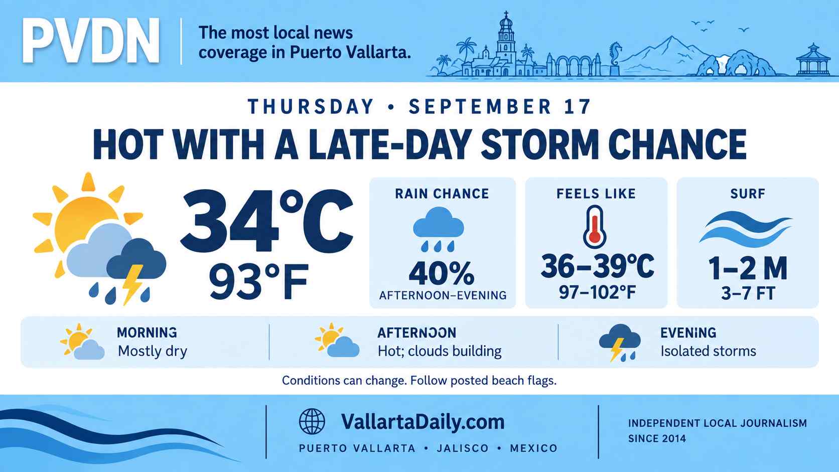
Puerto Vallarta entered Tuesday, May 26, under a heat-first forecast. The projected high was near 36 °C (97 °F). Only limited evening rain was in play. The broader national map looked wetter, but not evenly. The SMN May 26 national forecast placed Jalisco under “isolated showers,” while stronger storm risk was focused on parts of northern, central, Gulf, Yucatán, and southern Mexico. The local question was less about a stormy day than how much heat would build before sunset.
Heat stays ahead of the rain signal
The Puerto Vallarta city forecast indicated very cloudy conditions in the morning, a high near 36 °C (97 °F), and a low near 24 °C (75 °F). Humidity was forecast near 38 percent. Wind was expected from the west at 4 kilometers per hour, or about 2.5 miles per hour.
Other local forecast data kept the same basic shape. The day was expected to be mostly dry and hot. Any rainfall was pushed into a small evening window. One Puerto Vallarta-specific forecast allowed for light, isolated rain between 7 p.m. and 8 p.m., with about 0.09 millimeters of accumulation. That is less than 0.01 inches. It is trace rainfall, not a soaking storm.
The difference between the national and city forecasts should be read carefully. SMN’s state-level outlook used the isolated rain category for Jalisco. That category covers 0.1 to 5 millimeters, or roughly 0.004 to 0.2 inches. It does not mean every part of the state will see rain. It means scattered spots can develop brief showers while nearby areas stay dry.
Jalisco remains under the heat pattern
The heat signal was stronger than the rain signal. SMN kept an “onda de calor” in effect across several states, including parts of Jalisco. Its national temperature forecast included 40-45 °C (104-113 °F) for southern and southwestern Jalisco.
Puerto Vallarta’s forecast was lower than that range, but still hot. At 36 °C (97 °F), exposed pavement, beach areas, buses, parked cars, construction sites, and outdoor work zones can feel hotter than the thermometer suggests. Humidity also affects how heat is felt along the coast.
Wind was not the main hazard in the city forecast. SMN’s broader wind outlook placed Jalisco among states where winds could reach 30 to 40 kilometers per hour, or 19 to 25 miles per hour. Gusts could reach 50 to 70 kilometers per hour, or 31 to 43 miles per hour. Puerto Vallarta-specific figures were much lighter, suggesting a calmer day in town unless localized gusts developed near the hills.
A wetter Mexico map does not mean a wet Vallarta day
The national setup was more active away from Puerto Vallarta. SMN cited a high-altitude trough in northern Mexico, atmospheric instability, moisture from the Gulf of Mexico, another trough over the Yucatán Peninsula, and Tropical Wave No. 2 moving over southeastern Mexico.
That mix put the heaviest rainfall risk outside Jalisco. The forecast called for heavy rain in parts of Tamaulipas and San Luis Potosí. It also called for very heavy rain in Nuevo León, Oaxaca, and Chiapas, and heavy rain in several other states. Jalisco was in the lighter, isolated-rain tier.
For Puerto Vallarta, the effect was a forecast centered on heat, cloud cover, and monitoring, not on immediate storm disruption. A brief evening shower could still wet roads or raise humidity, especially near the mountains. But the available forecast did not point to a day of sustained rainfall in the city.
The timing is still part of the season
May 26 falls shortly after the official start of the eastern Pacific cyclone season. Puerto Vallarta has already been preparing for a busier 2026 Pacific season. The city’s hurricane season guide also notes that local storm problems often come from rain, runoff, and surf, not only wind.
That context should not turn every hot, cloudy forecast into a storm scare. It should make daily forecasts easier to read. A low chance of rain can still matter in neighborhoods with poor drainage. A hot day can still produce fatigue before any rain arrives. A calm morning can still give way to mountain clouds later in the day.
For Tuesday, the forecast was clearer than the seasonal anxiety around it. Puerto Vallarta weather was set for a hot day near 36 °C, or 97 °F, a warm low near 24 °C, or 75 °F, light wind, limited rain risk, and a broader regional weather pattern that deserved attention without overstating the local threat.