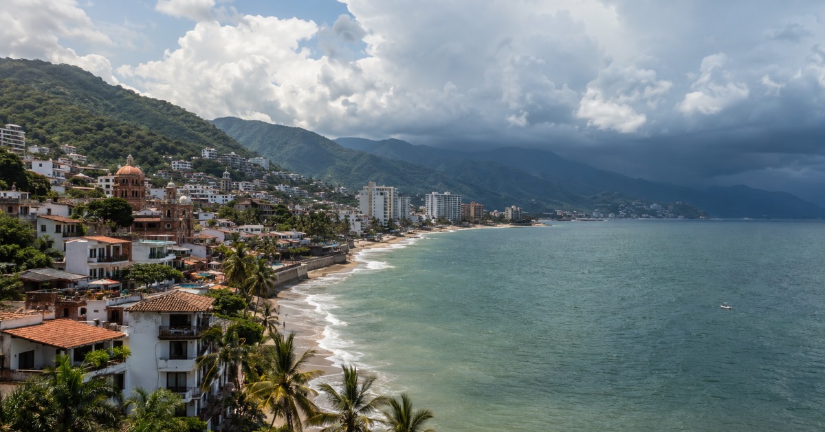
Puerto Vallarta enters Friday with the kind of weather that can look harmless in the morning and change by midafternoon. Forecasts point to heat, high humidity, and a possible thunderstorm, while broader Pacific activity is already prompting forecasters to monitor the coast more closely. The day is not built around a direct cyclone threat, but the mix of rain, warm air, and unstable regional conditions leaves a narrow margin for anyone watching roads, beach conditions, or evening plans.
Heat first, storm risk later
Puerto Vallarta begins Friday under humid heat and a forecast that leaves the most active weather for later in the day.
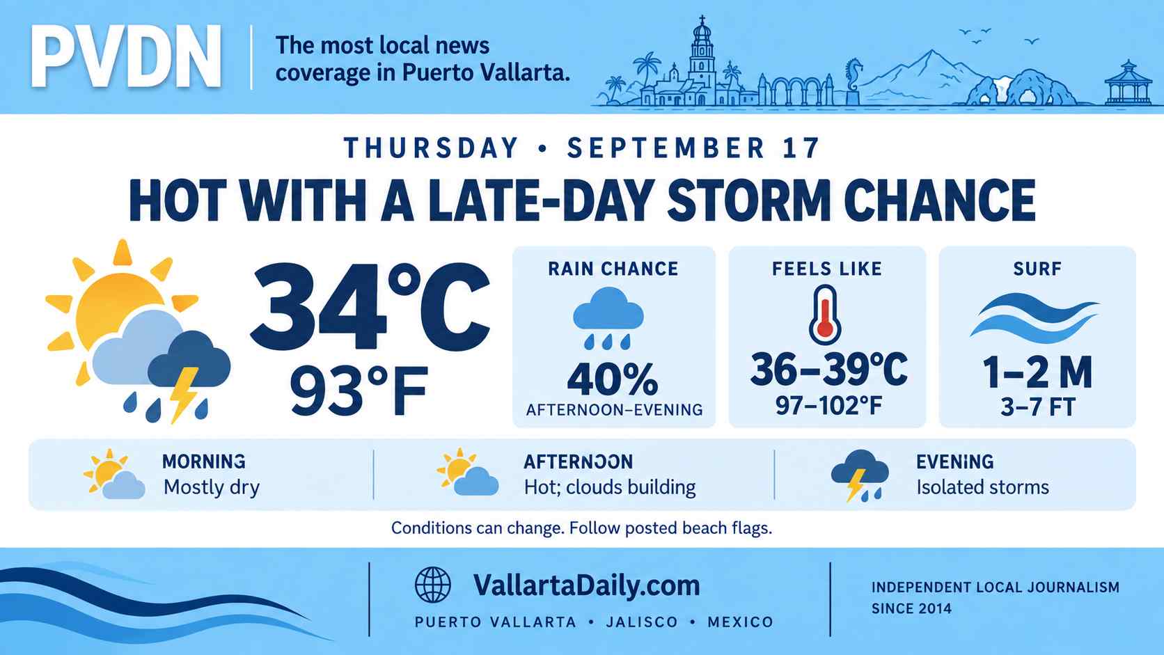
At the latest check, conditions were mostly cloudy, with temperatures near 25°C (77°F). The daily forecast calls for partly sunny and humid weather, with a high near 34°C or 92°F, a low near 24°C or 75°F, and a possible thunderstorm in the afternoon.
The official SMN city forecast puts P. Vallarta a little lower, with a high near 32°C (90°F), a low near 25°C (77°F), and rain in the forecast. The two readings differ by a couple of degrees. They point to the same basic day, with heat, humidity, and a rain window rather than a clean, dry forecast.
That split is the useful part. Morning clouds or sun may not tell the whole story. The risk is later, when warm air, moisture, and afternoon instability have more room to work.
Rain risk is local, but the setup is wider
The national forecast keeps Jalisco inside a broader rain pattern, though the highest state-level risk is not centered on Puerto Vallarta. The national weather outlook places parts of Jalisco under showers with stronger local rainfall, while statewide temperatures remain high enough to keep the day uncomfortable before any rain arrives.
Jalisco Civil Protection had already warned of unsettled conditions through Friday. In its state weather notice, the agency said that from June 1 to June 5 “se prevé el desarrollo de tormentas en gran parte del estado, con lluvias de moderadas a fuertes, posible caída de granizo.” The warning was statewide, not a specific flood alert for Puerto Vallarta.
That distinction matters for today’s forecast. Puerto Vallarta does not appear to be facing an all-day rain event. The sharper concern is a fast afternoon storm, brief heavy rain, slick roads, poor visibility, and runoff in streets that collect water quickly.
The pattern follows Thursday’s Puerto Vallarta weather update, which also carried heat, humidity, and storm risk as June’s rainy-season pattern became harder to ignore.
The Pacific is already active
The local forecast is not tied to a direct cyclone threat, but the Pacific basin is no longer quiet.
The National Hurricane Center tropical outlook said Friday morning that advisories were being issued on Tropical Storm Amanda, located well west-southwest of the southern tip of the Baja California Peninsula. That system is far from Puerto Vallarta.
Forecasters are also watching a separate low-pressure trough well offshore of southwestern Mexico. The hurricane center gave that system a 40 percent chance of formation within 48 hours and a 70 percent chance within seven days. “Interests in southern Mexico should monitor the progress of this system,” the outlook said.
Puerto Vallarta is not in southern Mexico, and there was no direct cyclone warning for the bay in the Friday morning outlook. Still, the development offshore is part of the early-season Pacific pattern that makes daily weather less settled along the coast.
The city entered this season after forecasts pointed to an above-normal 2026 cyclone season in the Pacific. A separate seasonal review noted that the Eastern Pacific hurricane season runs from May 15 through November 30, with Mexico’s Pacific coast watching tropical moisture even when storms stay offshore.
What to watch today
The main window to watch is the afternoon and early evening. A storm that forms over the mountains or near the bay can change conditions quickly, even if the day starts with broken clouds and heat.
Street ponding, slick pavement, and reduced visibility are the more likely immediate problems. Beach and bay activity should be checked against local conditions, especially if thunder is heard or dark clouds build over the Sierra Madre.
Saturday is forecast to remain hot, with hazy sunshine and a high near 33°C (92°F). Sunday is expected to bring a mix of clouds and sun, with a high near 33°C (91°F) and a low near 23°C (73°F).
The city’s broader Puerto Vallarta weather guide remains useful for seasonal context, but today’s forecast is narrower in scope. The heat arrives first. The rain risk comes later.