Puerto Vallarta starts the last day of May under a hot late-morning sun, with the day’s highest temperatures expected around midday. The clean beach forecast gets less simple after that. Federal forecasters are watching instability over Mexico and rain risk in parts of Jalisco, while the eastern Pacific has no active cyclone near the coast. The result is a Sunday that may feel routine early, then turn cloudier and more unsettled by afternoon, especially away from the immediate shoreline.
Puerto Vallarta starts hot before clouds build
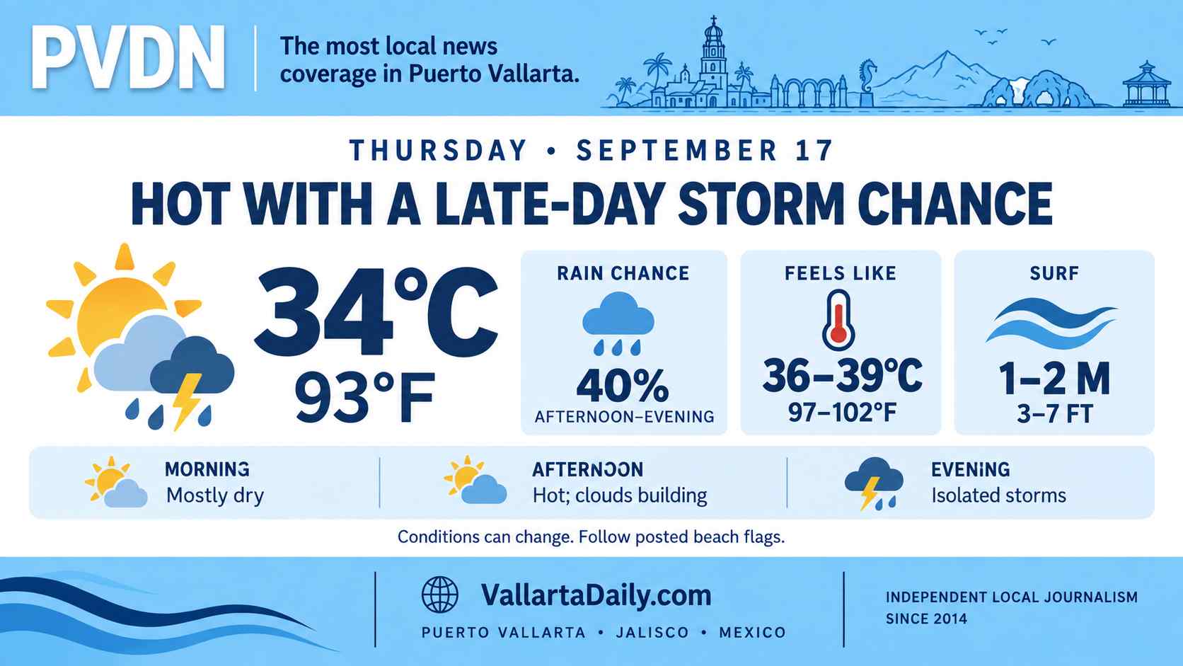
Puerto Vallarta began Sunday with mostly sunny weather and heat building toward about 34°C (92°F), before a cloudier afternoon and evening, according to forecast data reviewed Sunday morning. Temperatures were expected to remain near 29–32°C (84–90°F) through much of the evening, keeping the day warm even after the peak heat passes.
The city forecast points to a fairly typical late-May pattern. Morning sun, high humidity, and a slower increase in clouds. By late afternoon, the outlook becomes less certain as federal forecasters are monitoring a broader rain setup across parts of Jalisco.
The federal weather forecast for May 31 placed parts of Jalisco under a rain-risk pattern as instability over Mexico interacted with Pacific and tropical moisture. It listed “very heavy isolated showers” in southern Jalisco.
Puerto Vallarta is not the same forecast zone as southern Jalisco, so the city should not be treated as certain to receive that level of rain. The official language does explain the main Sunday risk. Storms may be uneven, with sun in one part of the bay and rain over the mountains, inland roads, or nearby communities.
Rain risk is regional, not a cyclone alert
At sea, the Eastern Pacific tropical outlook did not show a tropical cyclone near Puerto Vallarta early Sunday. The National Hurricane Center was watching a broad area of low pressure expected to form well southwest of Baja California.
The center said “a tropical depression is likely to form” by the middle of the week while moving west or west-northwest. That system was described far from the coast of Jalisco. A second possible low south of Mexico had a lower 7-day chance of forming.
That background fits the season, not a local storm warning. Puerto Vallarta entered the 2026 Pacific season after local officials began storm-preparation work and forecasters pointed to a more active period, a trend covered in earlier reporting on Puerto Vallarta’s 2026 cyclone season.
By Sunday night, temperatures were expected to be near 28°C (82°F), with mostly cloudy skies. Any late-day rain would depend on where clouds build and how the inland storm pattern moves toward the coast. The broader onset of the rainy season is already changing daily routines, a shift explained in this guide to Puerto Vallarta’s rainy-season reset.