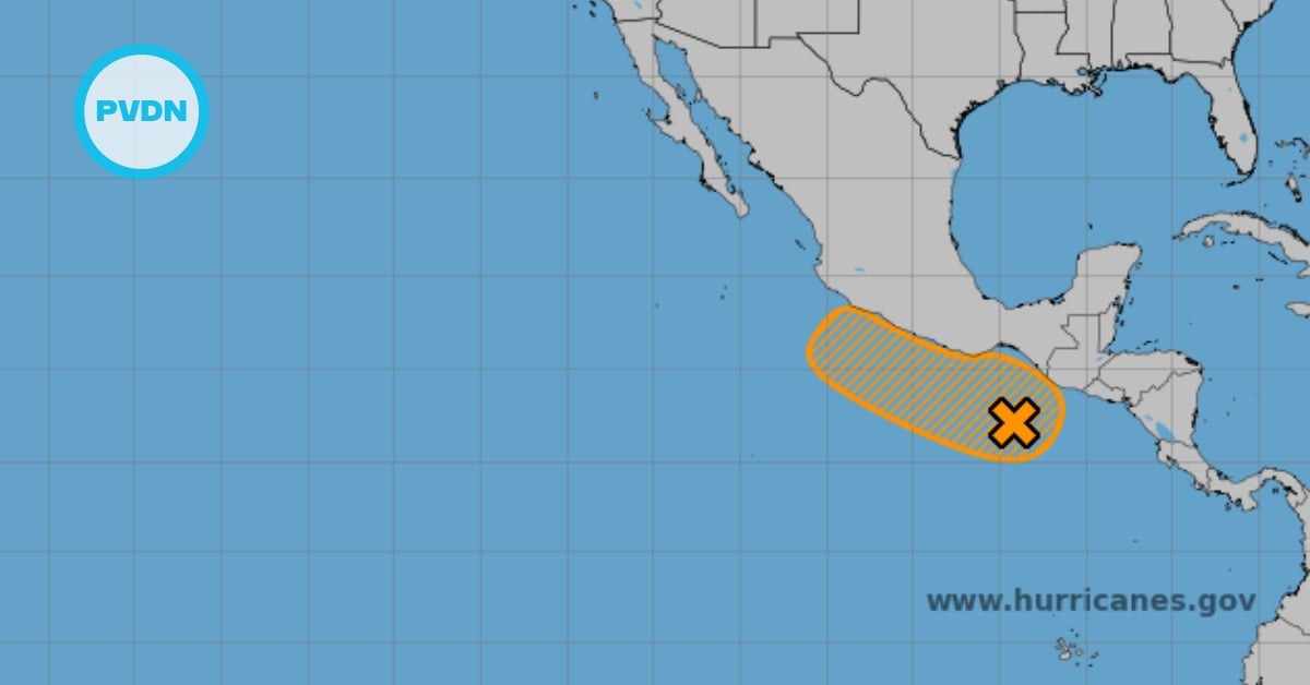
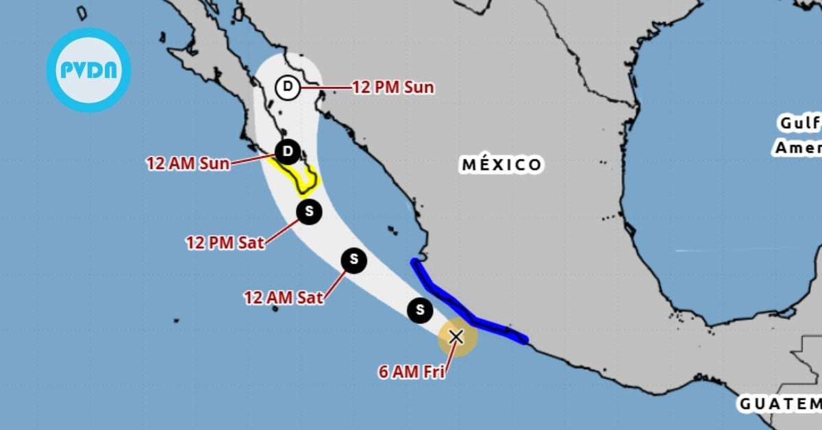
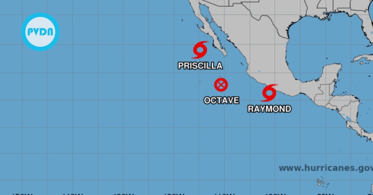
Puerto Vallarta, Mexico – Tropical Storm Alvin formed early this morning from Tropical Depression One-E, the National Meteorological Service (SMN) reported. The storm center sits roughly 585 kilometers south-southwest of Punta San Telmo, Michoacán, and 1,080 kilometers south-southeast of Cabo San Lucas, Baja California Sur. Satellite data show Alvin packing sustained winds of 65 km/h with gusts up to 85 km/h as it moves northwest at 17 km/h along a track parallel to Mexico’s central Pacific coast. SMN meteorologists maintain continuous surveillance as Alvin’s outer bands already deliver significant rainfall and generate elevated sea conditions.
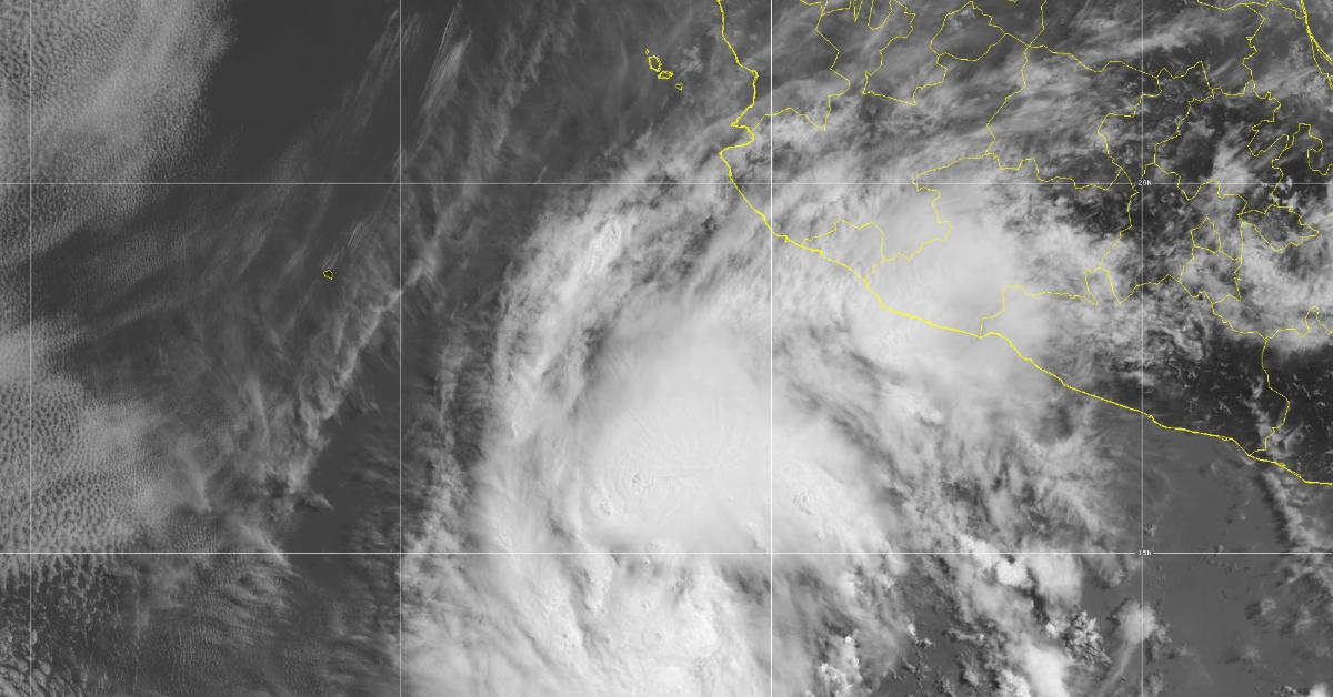
Alvin’s extensive cloud bands trigger heavy to very heavy rains in the country’s west and south. SMN forecasts very heavy rainfall of 50 to 75 mm in Guerrero; heavy rainfall of 25 to 50 mm in Jalisco, Colima and Michoacán; and lighter showers of 5 to 25 mm in Nayarit over the next 24 hours. Rain may include lightning and local hail, increasing the risk of flash floods, rising creek levels, landslides on steep slopes, and flooding in low-lying communities across the affected states.
Coastal waters will see swells rise through the day. Jalisco, Colima and Michoacán can expect waves between two and three meters, while Guerrero’s shores will face swells of one to two meters. These conditions pose hazards for fishing vessels, recreational boaters and maritime operations. The SMN warns against venturing into the open sea and advises port authorities to suspend small-craft activities. Beachgoers should stay clear of breaking waves and strong rip currents, as storm-driven surges could make coastal areas unpredictable and dangerous.
Federal Civil Protection authorities urge residents and visitors in the projected impact area to exercise extreme caution. People should secure or move indoors any loose objects—outdoor furniture, crop coverings and construction materials—that high winds could lift and hurl. Drivers in flooded or slick areas must reduce speed, turn on headlights and maintain safe following distances. Officials remind communities to review evacuation routes, assemble emergency kits with drinking water, nonperishable food, flashlights and medicines, and stay ready to shelter in place if local alerts escalate.
While Alvin gains strength, forecasters do not expect it to reach hurricane intensity. Its current wind profile and steady forward motion favor maintaining tropical storm status. Models forecast the nearest approach will occur next Saturday morning, when Alvin should lie about 360 kilometers west-southwest of Cabo Corrientes near Puerto Vallarta. Even at this distance, outer bands could brush the coastline, bringing clouds, scattered showers and rough seas to coastal resorts and fishing communities.
Meteorologist Víctor Manuel Cornejo López of the Bay’s Civil Protection Scientific Committee said Alvin poses no immediate threat to Mexico’s coastline aside from cloudy skies, occasional rain and rough seas. “Currently, the center will stay offshore. We expect clouds and showers, but no direct landfall,” he stated. Cornejo emphasized that the storm’s broad circulation will leave a swath of clouds across the Pacific, with some moisture pushing inland over southeastern, south Pacific and central states.
According to Cornejo López, computer models show Alvin advancing south of Baja California with a sprawling cloud shield stretching over the Mexican Pacific. “Cloud clusters will drift into Guerrero, Oaxaca and Chiapas in the south Pacific region, then likely surge north into western, northwestern and the central highlands over the coming days,” he said. These wide-ranging effects underscore the need for vigilance from residents across multiple states. Rain totals may vary by region, and local authorities should adjust response plans as conditions change.
In the Bahía de Banderas region, residents woke to mostly cloudy skies with occasional breaks of sunshine. Visibility remained good, but meteorologists note a steady increase in cloud cover and a growing chance of light rain later today. Drivers should brake early and maintain extra distance, as wet roads can become slippery. Tomorrow and on Friday, clouds will thicken and showers will become more frequent and scattered, with periods of moderate rain mixed with sunny intervals.
Communities along Mexico’s central Pacific coast should prepare for shifting conditions through the weekend. Officials recommend monitoring bulletins from the SMN and local civil protection agencies for updates on Alvin’s track and intensity. Residents in flood-prone zones must clear drains, guard against debris buildup and heed evacuation orders if issued. Tour operators and fishermen should coordinate closely with port authorities to avoid unnecessary risks. As Alvin continues its journey, prompt preparation and adherence to safety guidelines will minimize hazards posed by storm-driven rain, wind and waves.
Puerto Vallarta, Mexico - Tropical Storm Alvin formed early this morning from Tropical Depression One-E, the National Meteorological Service (SMN) reported. The storm center sits roughly 585 kilometers south-southwest of Punta San Telmo, Michoacán, and 1,080 kilometers south-southeast of Cabo San Lucas, Baja California Sur. Satellite data show Alvin packing sustained winds of 65 km/h with gusts up to 85 km/h as it moves northwest at 17 km/h along a track parallel to Mexico’s central Pacific coast. SMN meteorologists maintain continuous surveillance as Alvin’s outer bands already deliver significant rainfall and generate elevated sea conditions.