Although Tropical Storm Frank moves away from the Mexican coast in the Pacific, it will still affect the territory with high waves, strong winds, and rains.
According to the forecast of the National Weather Service, the storm could intensify and become a category 1 hurricane. However, by then it will be located more than a thousand kilometers from the coast.
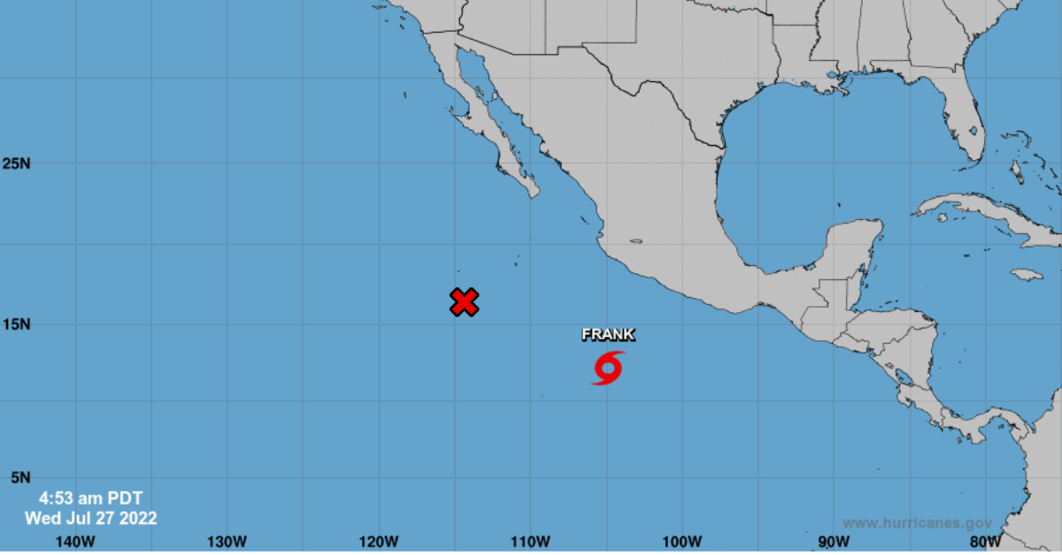
Frank is currently located about 760 km south of Manzanillo, Colima, and 815 km south of Playa Pérula, Jalisco. It is moving west at an approximate speed of 15 km per hour, has sustained winds of 65 km per hour, and gusts of up to 85 km per hour.
The states where there will be more rain are Sonora, Sinaloa, Chihuahua, Durango, Nayarit, Jalisco, Colima, Michoacán, Guanajuato, Morelos, Puebla, State of Mexico, Guerrero, Oaxaca, Chiapas and Veracruz.
Tropical waves 16 and 17, two low-pressure channels, will also contribute to storms in Western Mexico.
For 2022, 9 hurricanes and 8 tropical storms are predicted for the Pacific Ocean; that is, 17 named storms when the typical number is 15.
Without a doubt, the hurricane season affects the population in general, but especially the providers of tourist services on beaches, since these storms generate torrential rains, strong winds, and waves, so it is recommended to take the necessary precautions.
According to the World Meteorological Organization (WMO), the reason why this year will be more active in the Pacific Ocean is due to the presence of the “La Niña” phenomenon, which produces changes in the direction and strength of the winds.
Although Tropical Storm Frank moves away from the Mexican coast in the Pacific, it will still affect the territory with high waves, strong winds . . .
")


