Tulum’s plan to push through traffic out of town is moving again, not vanishing. Local and federal officials say the executive phase of the bypass is between 65% and 80% complete, with topographic and photogrammetric work already finished and design refinements underway to fit the land. The project remains framed as a pressure valve for a town that has outgrown a single artery.
Confusion spiked in late October when an earlier environmental filing was withdrawn, prompting headlines that the road had been “cancelled.” What actually happened, authorities say, is a reset: the previous MIA was pulled, and a new, updated route will be submitted to regulators, rather than abandoning the road entirely. Recent briefings reiterate continuity and clarify that work now focuses on a safer, more viable alignment.
Tulum bypass project
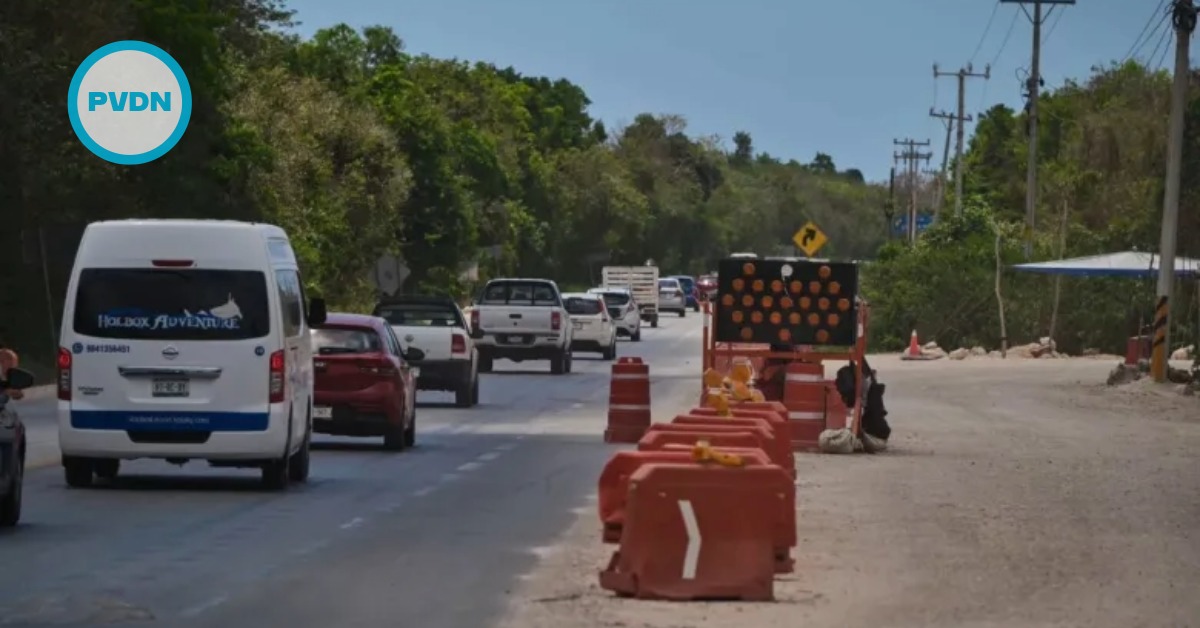
What’s planned is a perimeter road of roughly 26–30 kilometers designed to siphon heavy and through traffic off Highway 307 before it jams Tulum’s center. Current plans call for three grade-separated interchanges and multiple bridge structures to cross sensitive karst terrain without choking water flows through cenotes and caves. The physical scope varies by source as engineers tighten the line, but the intent—to decongest the town—is consistent.
On the engineering desk, officials say the executive project is 65%–80% complete. Crews have already wrapped the topographic lifts and photogrammetric flights that underpin the final layout. A ballpark budget circulating in local briefings is about one billion pesos, though formal tender documents will set the real number once the route is locked.
Environmental constraints are steering the redesign. The ground around Tulum is riddled with voids and underground rivers that can swallow poor engineering choices and reroute water in damaging ways. That is why planners are re-drawing sections and emphasizing elevated crossings over sensitive zones to manage risk to the jungle and the aquifer beneath it.
The mobility payoff, if delivered, is straightforward: fewer tractor-trailers and airport-bound vehicles grinding through town, better access between south-north corridors, and safer trips for people who live and work here. Authorities have pitched the road as a way to unclog links toward Playa del Carmen and Cancún and to keep tourist surges from swallowing local life.
What changes and why
Officials acknowledge two key shifts. First, they pulled the old environmental filing and will take a fresh one to SEMARNAT reflecting the new trace. Second, they are refining two ramal sections to avoid unstable ground and cenote clusters, which is why progress numbers vary by source. Next steps are predictable: finish the executive project, file the new MIA, tender the build, and only then break ground. There is no start date yet.
One wrinkle: Mexico’s national investment portal still lists the bypass as “concluded/cancelled or without current information,” with its last update back on January 20, 2025—a snapshot that predates this fall’s reset. Treat that page as archival rather than live status; the on-the-ground briefings and state updates reflect the current direction.
Bottom line for drivers is patience. Daily congestion won’t ease until the route is finalized, licensed, and built. But despite the noise, the road remains in play as of November 11, 2025—and now with a design that stands a better chance of surviving Tulum’s fragile ground and protecting the water that keeps this place alive.