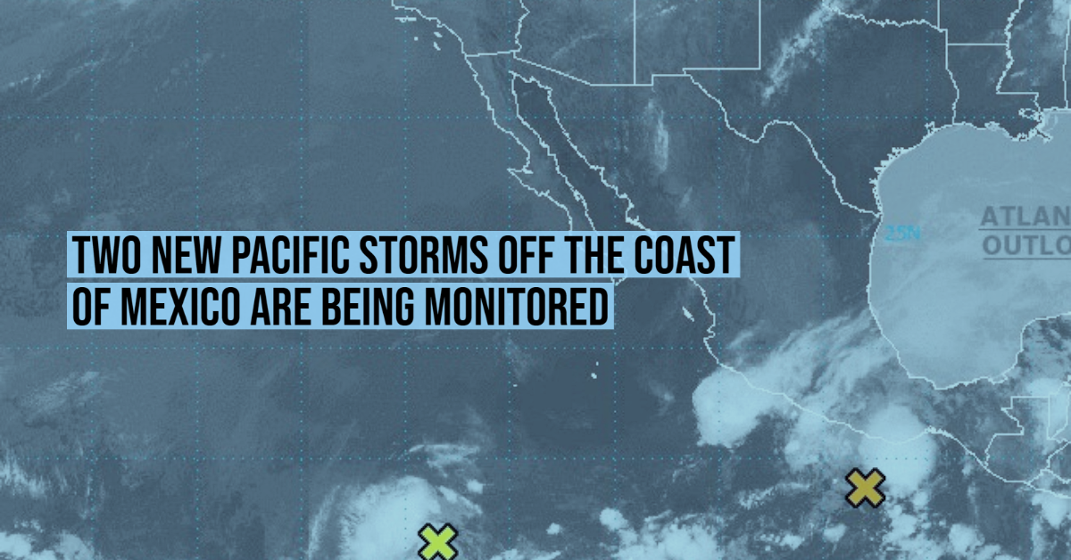
Showers and thunderstorms have become more concentrated this morning in association with a broad area of low pressure a couple hundred miles south-southwest of Puerto Angel, Mexico. Environmental conditions appear conducive for additional development, and a tropical depression could form by this weekend while the system drifts north-northeastward. Heavy rainfall will be possible over portions of Central America and southern Mexico through early next week. See products from your local meteorological service for more information.
- Formation chance through 48 hours…medium…40 percent.
- Formation chance through 5 days…medium…50 percent. Read Full Story