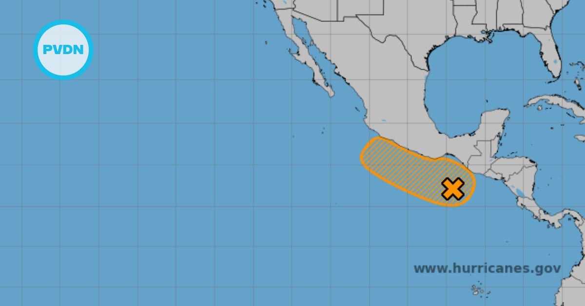
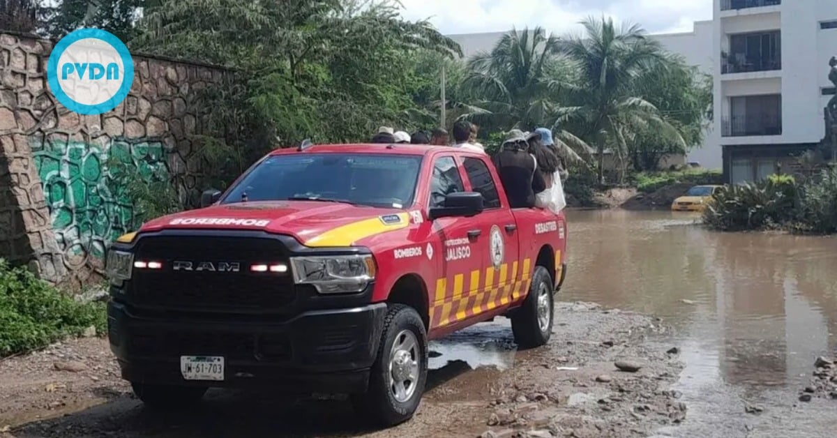
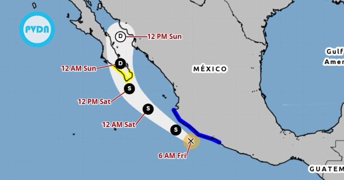
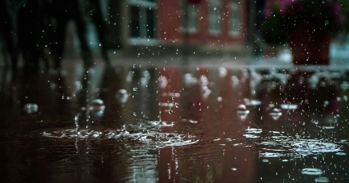
Puerto Vallarta, Jalisco – Rain will be the first major sign of Tropical Storm Ivo’s influence in Puerto Vallarta. Jalisco Civil Protection forecasts 50 to 75 millimeters (2-3 inches) of rain along the state coast. The National Meteorological Service updates that some areas may see totals of 75 to 150 millimeters (4-6 inches). Such downpours carry a risk of localized flooding in low spots. Stream levels may rise quickly in the nearby foothills. Residents should be alert to Tropical Storm Ivo’s presence in Puerto Vallarta.
Wind and Sea Conditions
Coastal winds are set to pick up as Tropical Storm Ivo skirts the shoreline. PC Jalisco warns of sustained winds of 40 to 50 kilometers per hour with gusts of 60 to 80. Waves may build to heights of four to five meters. Marine operators should note the higher seas. Beachgoers should avoid swimming when breakers grow large, especially as Tropical Storm Ivo approaches Puerto Vallarta.
Projected Storm Track
According to the latest National Meteorological Service report, the storm’s center sat 115 kilometers west-southwest of Punta San Telmo, Michoacán. It also lay 805 kilometers southeast of Cabo San Lucas, BCS. It moved west-northwest at 39 kilometers per hour, posing a potential threat to Puerto Vallarta. The system carried sustained winds of 75 km/h and gusts up to 95 km/h. Cornejo López says the storm will track parallel to the coast and stay offshore.
Local Conditions and Precautions
Cornejo López notes that dense storm cores stretch from Acapulco to Tomatlán, pushing cloud cover over Banderas Bay. Yesterday’s showers delivered 10 millimeters in Ixtapa and 36.8 millimeters at the Cuale River. The region saw highs above 34 degrees Celsius before the rain arrived. Agencies urge residents to stay tuned to official forecasts and warnings about tropical storm Ivo in Puerto Vallarta. Simple steps like securing loose items and avoiding flooded streets can reduce risk.
Impact on Tourism and Infrastructure
As Puerto Vallarta relies heavily on tourist activity, even moderate rain and wind may disrupt daily schedules due to tropical storm Ivo. Water taxis and tour boats may cancel or shorten trips when seas rise above normal levels. Airport operations could face minor delays if crosswinds intensify at Licenciado Gustavo Díaz Ordaz International Airport. Coastal roads in the Zona Romántica and Marina areas may see water pooling in low spots. Some beachfront bars and open-air restaurants might close or move seating indoors during heavy showers. Hotel staff are advised to review emergency procedures and secure outdoor furniture. Despite the low danger alert, businesses should prepare for sudden weather shifts to ensure guest safety and comfort.
Outlook Beyond Thursday
After Thursday, the storm should move farther offshore. Skies may clear by Friday with scattered showers. Tropical storm Ivo’s departure will likely see temperatures return to seasonal norms. The Bay Area can expect a mix of sun and clouds through the weekend. Local authorities plan to lift special advisories once rain falls below 10 millimeters. Residents can resume normal activities but should keep an eye on updates in case conditions linger.