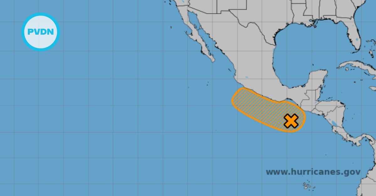
Hurricane Erick, now a Category 1 storm, hit southern Mexico with heavy rains and high winds, affecting multiple states. Authorities report flooding, evacuations, and infrastructure damage.
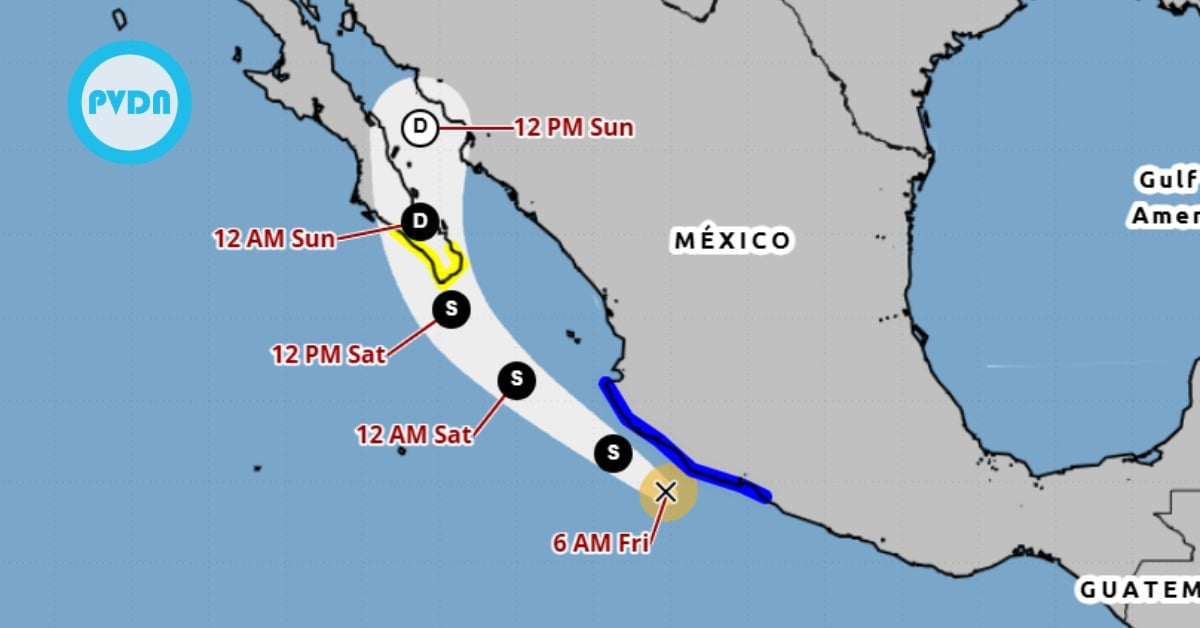
Hurricane Erick made landfall early this morning and has since been downgraded to a Category 1 hurricane, according to the National Meteorological Service (SMN). The storm is bringing intense to torrential rainfall, strong winds, and dangerous sea conditions to southern Mexican states, including Oaxaca, Guerrero, Chiapas, southern Veracruz, and southern Puebla.
As of this morning, the center of Erick was located approximately 50 kilometers north-northwest of Punta Maldonado, Guerrero. The system is moving northwest at a speed of 19 kilometers per hour with maximum sustained winds of 140 km/h and gusts up to 165 km/h.
The SMN warned that over the next several hours, the storm will continue to produce intense rain bands and high winds across the region. Forecasts indicate wind speeds between 100 to 120 km/h with gusts reaching 160 km/h. Waves along the coastlines of Guerrero, Oaxaca, and Chiapas are expected to reach heights between 1.5 to 5 meters.
Rainfall associated with Erick could lead to significant hazards, including landslides, overflowing rivers and streams, and flash floods in low-lying areas. Officials have urged residents in the affected regions to remain alert and follow instructions from local Civil Protection authorities.
The hurricane-force wind warning zone has been updated in coordination with the U.S. National Hurricane Center. The warning now spans from Acapulco, Guerrero, to Puerto Escondido, Oaxaca. A tropical storm-force wind warning remains in effect from west of Acapulco to Técpan de Galeana.
Early Damage Reports
In a morning press briefing held by President-elect Claudia Sheinbaum, National Civil Protection Coordinator Laura Velázquez Alzúa shared a preliminary assessment of damage along Mexico’s southern Pacific coast.
According to Velázquez, 14 municipalities have been impacted by hurricane-force winds and heavy rain. Key incidents include:
- One house completely flooded
- Flooding at the IMSS hospital in Huatulco
- Evacuation of patients from Rio Grande Hospital
- Two structural wall collapses
- Rising water levels in the Ixtepec River
- Nine road collapses reported
- A vehicle stranded by floodwaters
- Downed trees and toppled light poles
- Seawater surging into streets in coastal zones
- Widespread pooling and street flooding
Emergency response units from the Defense Ministry, Navy, National Guard, Conagua, and Civil Protection are actively patrolling affected areas. Federal and local teams have activated the DN-III and Navy Plan response protocols and are assisting with evacuations and shelter operations where needed.
Residents have been strongly advised to shelter in place or relocate to temporary shelters if they are in at-risk areas. Authorities reiterated that the worst of the storm could still bring significant impacts over the next 24 hours, particularly with the ongoing risk of flash floods and mudslides in mountainous regions.
As emergency teams work to clear roads, restore services, and assess the full extent of the damage, officials remind the public to stay informed through official channels and avoid spreading misinformation.
More updates are expected as conditions evolve and assessments continue.