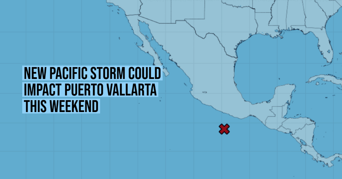
The storm moving through the Pacific Ocean continues to strengthen and already has an 80% chance of becoming a tropical cyclone in the next 48 hours, and a 90% chance of evolving within five days.
Through a statement, the National Meteorological Service (SMN) warned that the system is very close to the coast of Guerrero, just 320 kilometers south-southeast of Acapulco. It is moving west-northwest at 16 kilometers per hour, and according to the trajectory forecast of the National Hurricane Center of Miami (NHC, for its acronym in English), it will continue to travel a . . .