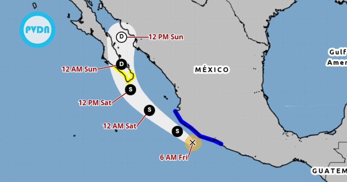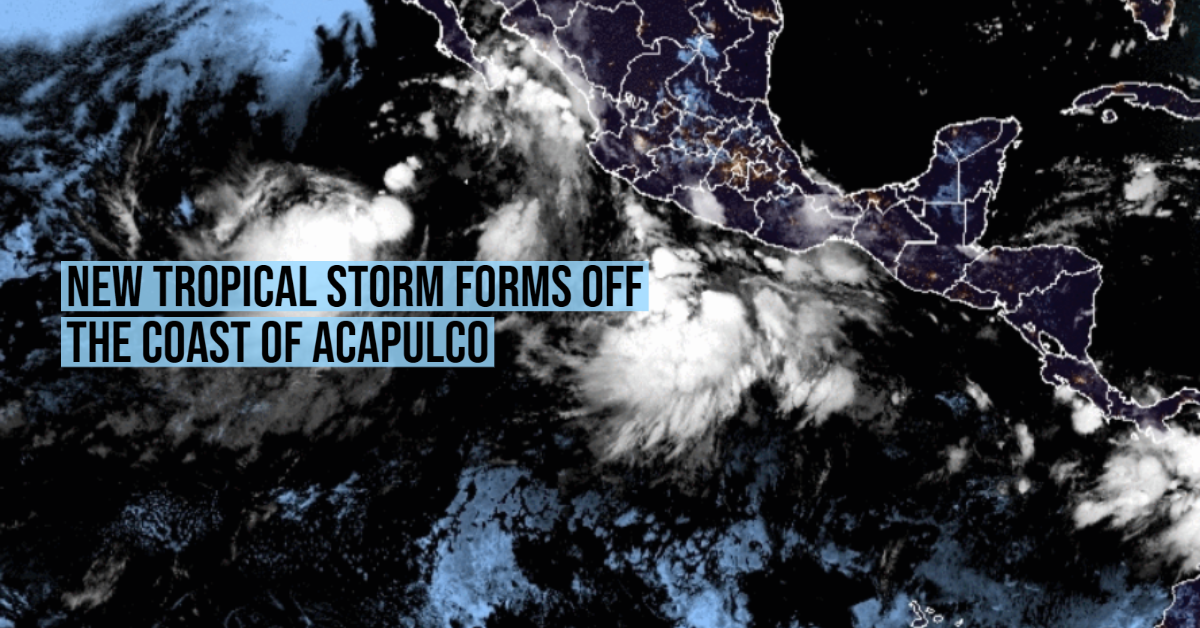
At dawn on Tuesday, August 10, tropical depression 12-E formed in the Pacific Ocean.
The National Meteorological Service (SMN) reported that the system is located just 445 kilometers south of Acapulco, Guerrero. Its winds reach speeds of 55 kilometers per hour, with stronger gusts of up to 75 km / h.
According to the trajectory forecast by the weather agency, 12-E will not make landfall in Mexico. It will move towards the northwest, a short distance from the coast, and will rapidly increase in intensity.
It is expected that throughout the morning . . .