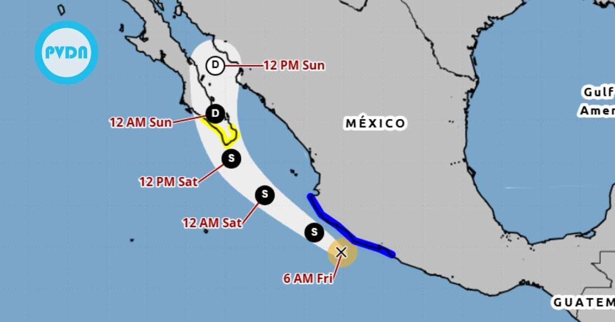
Tropical Storm Ivo Forms off Mexico’s southwestern coast, bringing heavy rain and rough surf to Guerrero, Michoacan and Oaxaca through Saturday . . .
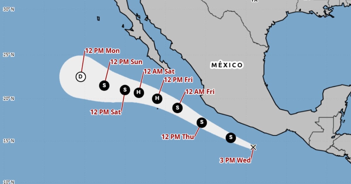
Tropical Storm Ivo Forms off Mexico’s southwestern coast, bringing heavy rain and rough surf to Guerrero, Michoacan and Oaxaca through Saturday . . .