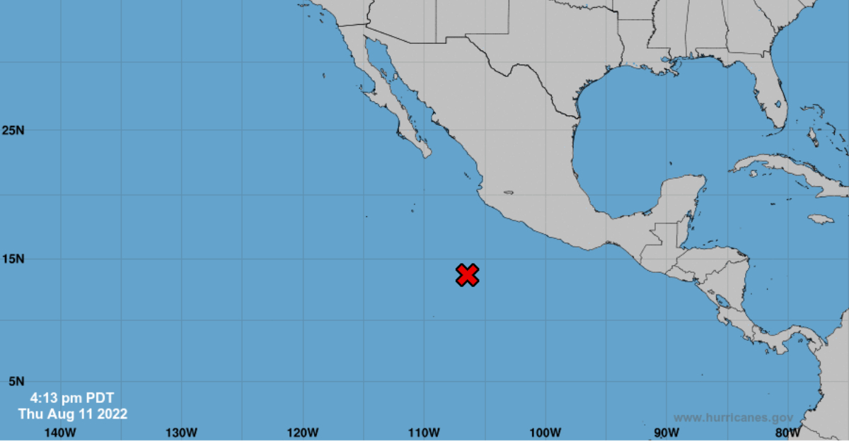
Since the first days of August 2022, the National Meteorological Service (SMN) has been monitoring a low-pressure area that has approached the Mexican coast and which threatens to become Tropical Cyclone Ivette.
Through a map, the SMN has indicated that there is currently a low zone present in Mexico, which has already reached an 80% probability of becoming Tropical Cyclone Ivette in the next two days, and due to the fact that it's approaching the Mexican coasts, it will affect some regions with intense rains.
The SMN, reported that the low-pressure area . . .