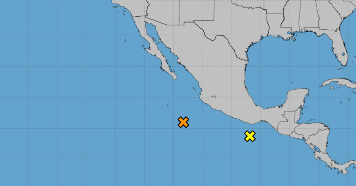
A low-pressure area with a high probability of cyclonic development or a possible tropical storm will move parallel to the coasts of Michoacán, Colima, and Jalisco on Thursday and through the end of the week.
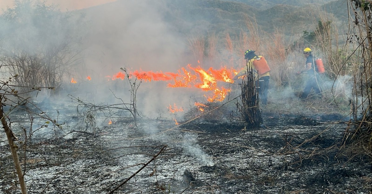
The storm will produce very heavy rains in the south, southwest, and west coasts of Mexico, Michoacán, Colima, Jalisco, and Nayarit, which could cause an increase in the levels of rivers and streams, landslides, and floods.
Puerto Vallarta is forecasted to have extreme storms on Friday, September 16, with 75 to 150 mm of precipitation. The area . . .