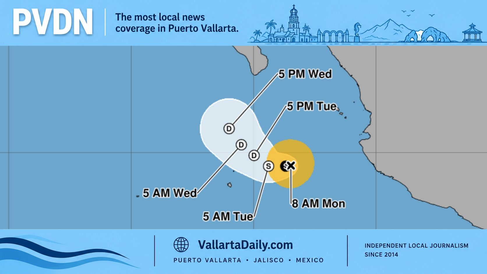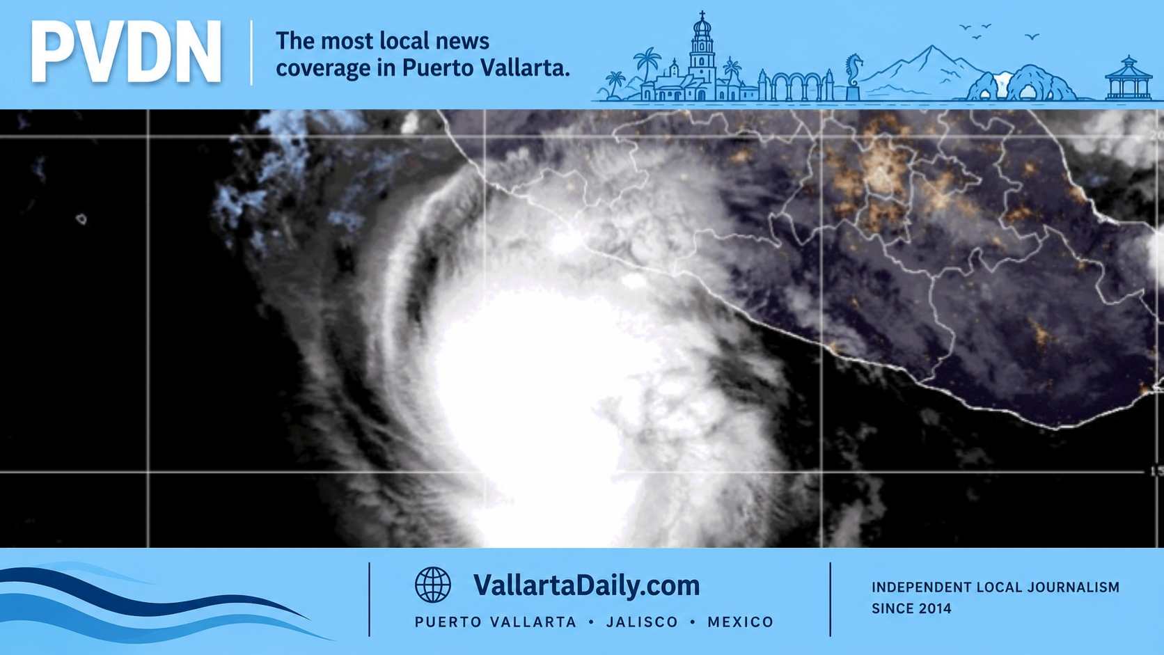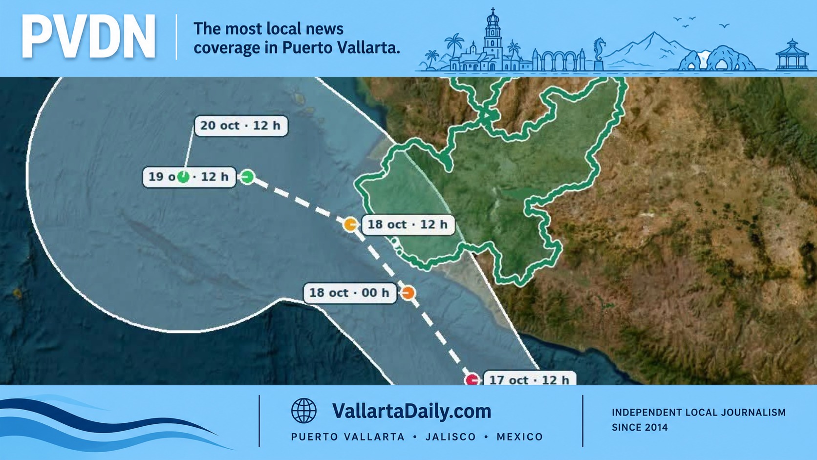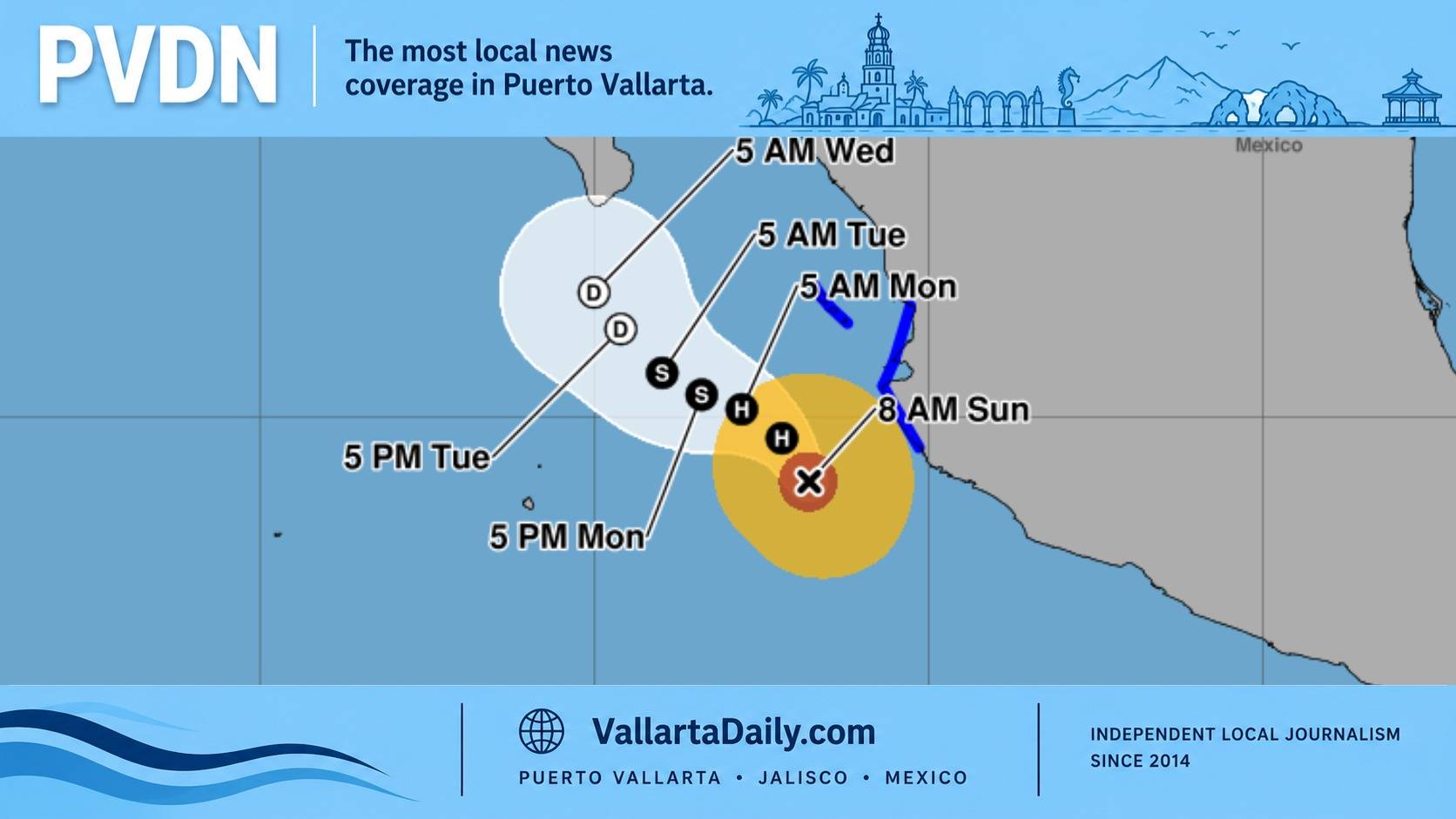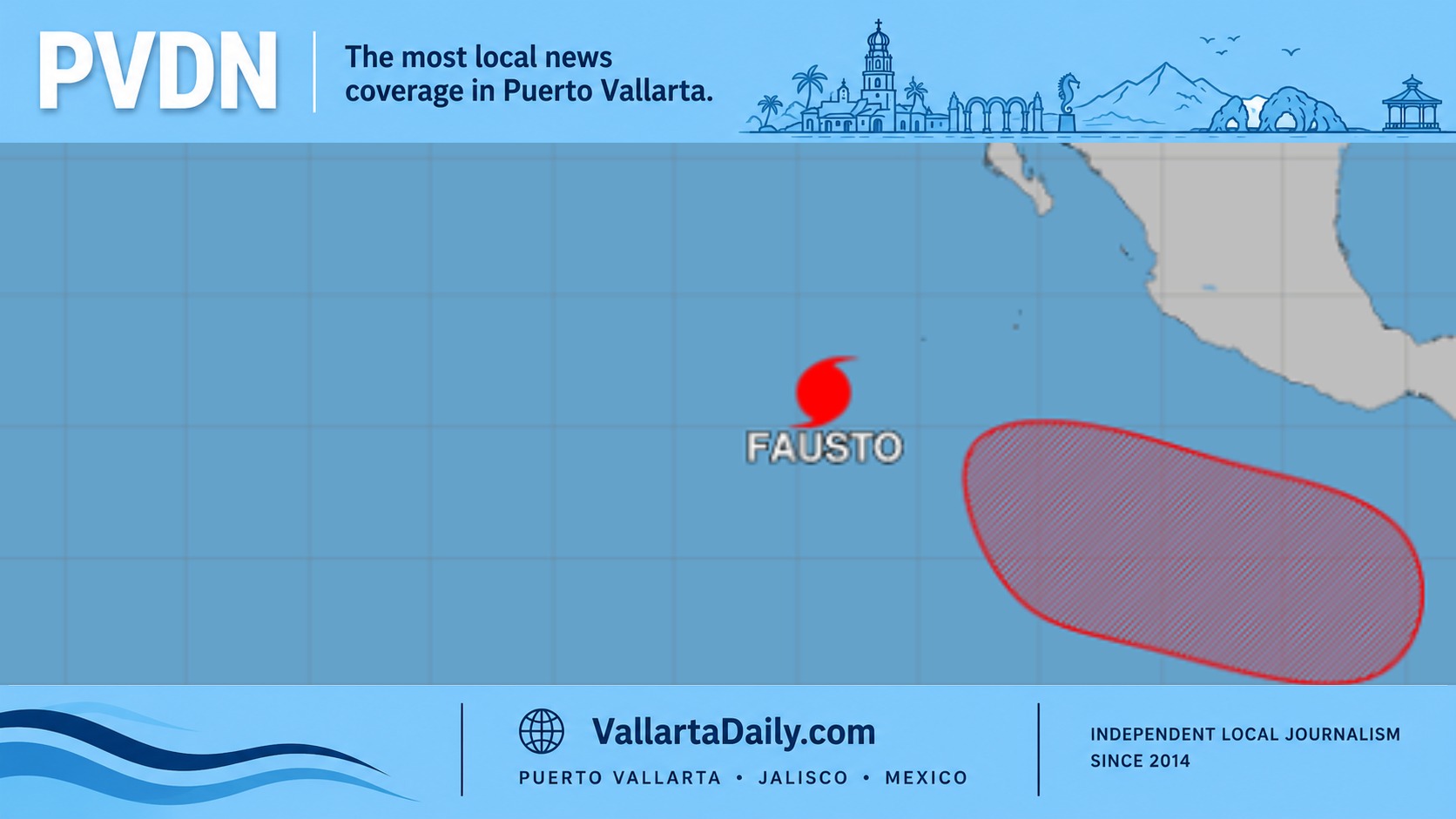
Puerto Vallarta, Jalisco, July 21, 2026 – Hurricane Fausto became the eastern Pacific’s first hurricane of 2026 late Monday, but the storm remained roughly 1,500 kilometers southwest of Puerto Vallarta and was moving away from Mexico’s coast Tuesday.
The National Hurricane Center’s 9 a.m. Mexico City update placed Fausto at 16.3 degrees north and 118.8 degrees west, about 1,185 kilometers southwest of the southern tip of Baja California. Maximum sustained winds were 120 kilometers per hour, placing Fausto at Category 1 strength.
The hurricane was moving northwest at 19 kilometers per hour. No coastal watches or warnings were active, and hurricane-force winds extended only about 35 kilometers from Fausto’s center.
Puerto Vallarta’s rain chance remains tied to the region’s summer storm pattern rather than Fausto’s compact circulation. Tuesday’s local forecast puts the high near 34 degrees Celsius and the daily rain chance near 40 to 50 percent, with isolated thunderstorms more likely later in the day.
A brief downpour could still produce street flooding or reduced visibility, but no tropical-storm winds or direct hurricane rainfall are expected in Banderas Bay.
Fausto may strengthen again later Tuesday and Wednesday as wind shear relaxes. The hurricane center’s latest forecast discussion brings peak winds near 169 kilometers per hour by Wednesday night or Thursday, which would make Fausto a Category 2 hurricane.
Its track is also expected to bend west-northwest and accelerate deeper into the open Pacific. Forecast models remained closely grouped through the next three days, supporting the current path away from Mexico.
The main marine detail near Jalisco lies outside Banderas Bay. A National Hurricane Center marine discussion expects moderate to large southwest swell across Mexican offshore waters west of Cabo Corrientes from Tuesday night through Thursday.
Cabo Corrientes forms the southwestern edge of the bay, so the outlook points more toward open-Pacific waters and boat routes beyond the bay than beaches along Puerto Vallarta’s urban shoreline.
The hurricane center’s specific land hazard concerned the west coast of the Baja California Peninsula, where Fausto-generated swell could produce dangerous surf and rip currents beginning Wednesday. No comparable Fausto surf warning had been issued along Jalisco or Nayarit as of Tuesday morning.
Small boats traveling beyond Cabo Corrientes and people using exposed beaches along the outer coast should still check port notices, sea conditions and beach flags. Conditions inside Banderas Bay can differ sharply from the open Pacific, especially when swell approaches from the southwest.
Fausto is the sixth named cyclone and first hurricane of the 2026 eastern Pacific season. The National Hurricane Center confirmed its status as the season’s first hurricane after its winds crossed the hurricane threshold Monday evening.
The distant track does not change the broader need to watch the basin through the coming months. PVDN recently examined why developing El Niño conditions could increase late-season hurricane concerns near Puerto Vallarta.
Forecasters are also watching a separate broad area of low pressure expected to develop well south of Mexico during the next couple of days. The hurricane center says a tropical depression is likely later in the week as that system moves west or west-northwest across the eastern Pacific.
No coastal threat has been established, but that developing area, rather than Fausto, will become the next Pacific system needing close review.