Highlights
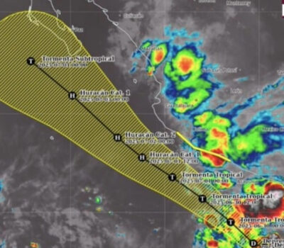
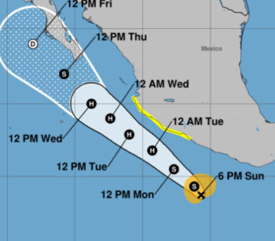
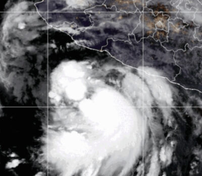
- Hurricane Dolores is currently located about 300 miles south of Cabo San Lucas, Mexico, and continues to move west-northwest at 5 to 10 mph.
- Dolores rapidly intensified to a Category 4 hurricane overnight Tuesday night.
- Further strengthening is possible through early Thursday, before Dolores begins weakening.
- Dolores is expected to continue to track west-northwest, passing well south of Los Cabos and the southern Baja peninsula.
- High surf, rip currents, and an occasional outer rainband can be expected along southwest Mexican coast and the southern Baja peninsula.
- A moisture surge triggered by Dolores may bring a threat of locally heavy rain threat for parts of the Desert Southwest this weekend.
While Hurricane Dolores is expected to remain well southwest and south of the Mexican Pacific coast, including the Baja peninsula, there will still be some peripheral impacts, even for parts of the U.S.
Outer rainbands may, at times, wrap into the southern Baja peninsula and far southwest Mexico.
Otherwise, the primary impact along the Mexican coast will be high surf and dangerous rip currents. According to Mexico’s National Meteorological Service (SMN), waves of 6 to 13 feet (2 to 4 meters) are expected along the coast of the states of Jalisco, Colima and Baja California through the rest of the week.
Dolores may strengthen a bit more through Thursday, until it tracks into an environment of more stable air and cooler water, after which it will weaken later this week well west of the Baja peninsula.
Highlights
- Hurricane Dolores is currently located about 300 miles south of Cabo San Lucas, Mexico, and continues to move west-northwest . . .

