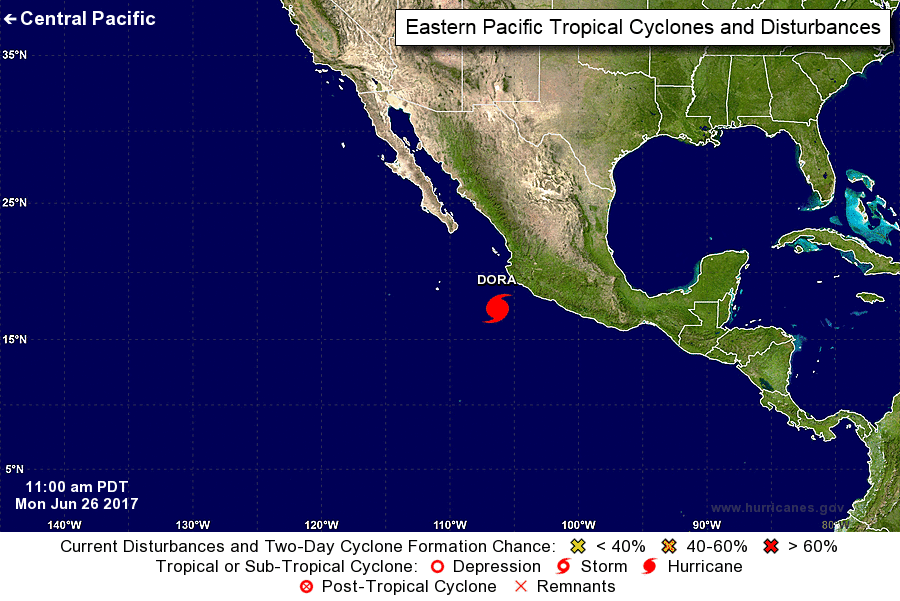
The center of Hurricane Dora was located near latitude 17.3 North, longitude 106.3 West. Dora is moving toward the west-northwest near 13 mph (20 km/h), and this general motion with some decrease in forward speed is expected over the next 48 hours. On the forecast track, the center of Dora will remain offshore of the coast of southwestern Mexico today and pass well to the south of the Baja California peninsula on Tuesday.
Maximum sustained winds have increased to near 85 mph (140 km/h) with higher gusts. Some additional strengthening is possible today before weakening begins by Tuesday morning.
Hurricane-force winds extend outward up to 25 miles (35 km) from the center and tropical-storm-force winds extend outward up to 80 miles (130 km).
Dora is expected to produce rain accumulations of 1 to 2 inches along coastal sections of the Mexican states of Guerrero and Michoacan through this evening.
Swells generated by Dora are affecting portions of the coast of southwest Mexico. These swells are expected to spread northwestward and begin affecting portions of the coast of the southern Baja California peninsula on Tuesday. These swells are likely to cause life-threatening surf and rip current conditions. Please consult products from your local weather office.
The center of Hurricane Dora was located near latitude 17.3 North, longitude 106.3 West. Dora is moving toward the west-northwest near 13 . . .


