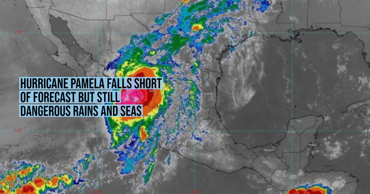
In the early morning of Wednesday, at 4:00 am, Central Mexico time, Pamela increased the strength of her winds and is again a category 1 hurricane on the Saffir-Simpson scale after weakening on Tuesday. At 7 am it made landfall between Mazatlán and San Ignacio with maximum sustained winds of 120 kilometers per hour (km / h), a category 1 storm, far short of the category 3 predictions.
The system favors torrential rains (150 to 250 millimeters [mm]) in areas of Durango, Nayarit, and Sinaloa; very strong (from 50 to 75 mm) in Jalisco, as well as strong (from 25 to 50 mm) in areas of Sonora.
Wind gusts of 120 to 150 km / h with waves of 4 to 6 meters (m) in height are also forecast on the coasts of Sinaloa; gusts of 80 to 100 km / h with waves of 3 to 5 m on the coast of Nayarit, in addition to gusts of 50 to 70 km / h and waves of 2 to 4 m on the coasts of Baja California Sur and Jalisco.
The National Meteorological Service (SMN), of the National Water Commission (Conagua), in coordination with the Miami National Hurricane Center, maintains a prevention zone for hurricane effects from Bahía Tempehuaya to Escuinapa, Sinaloa, as well as a prevention zone due to tropical storm effects from Bahía Tempehuaya to Altata, and from Escuinapa to Cabo Corrientes, Jalisco, including Puerto Vallarta.
The rainfall generated by Pamela could cause landslides, an increase in the levels of rivers and streams, and overflows and flooding in low-lying areas, for which people are urged to heed the notices of the SMN and follow the indications of state and municipal authorities and Civil Protection. Maritime navigation in the vicinity of the system is called to take extreme precautions due to winds and waves off the west coast of Mexico.
In the early morning of Wednesday, at 4:00 am, Central Mexico time, Pamela increased the strength of her winds and is again a . . .


