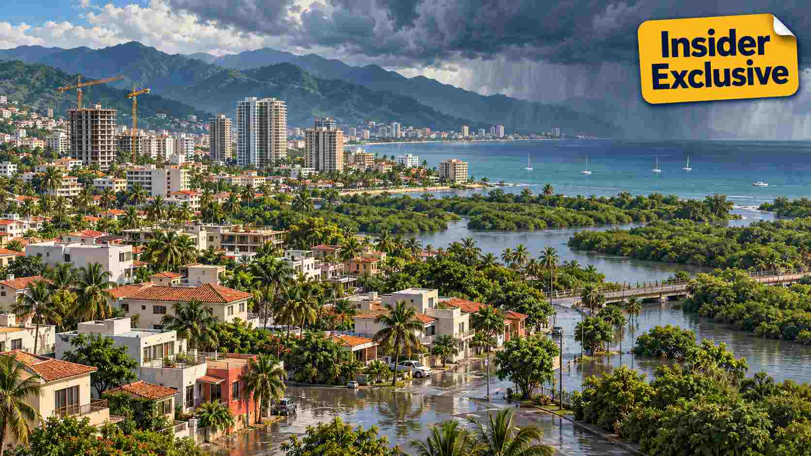
Urban growth in Puerto Vallarta and Bahía de Banderas is outpacing hurricane preparedness, a University of Guadalajara urbanist warned in an interview published Tuesday.
José Alfonso Baños Francia, a professor at Centro Universitario de la Costa, said that risk atlases and development plans need to work together. He acknowledged stronger emergency response but warned of contradictions between planning instruments.
“Prevention is far more important than regret,” he said in Spanish.
For residents and property owners, that raises a practical question: how does a flood-risk map actually protect a home?
Baños Francia identified river margins, low-lying land, and former agricultural areas as areas of concern. He pointed to areas near the Ameca River and Highway 544, as well as channels feeding the El Salado estuary.
Puerto Vallarta’s 2024–2027 municipal development plan already classifies the city’s flood vulnerability as high. It links that exposure to rivers, urbanization in flood-prone areas and intense rainfall, and says several lower-elevation areas carry a high flood risk.
The urbanist also highlighted the particular vulnerability of people living in precarious housing along waterways, including people experiencing homelessness.
The region has long had information intended to guide safer growth. When UdeG delivered a risk atlas to Puerto Vallarta in June 2016, the university said its 311 maps identified natural hazards, social conditions and areas where housing expansion should be restricted. Some information could be examined at city-block level.
That is where a map becomes useful to a household: when the information influences a development’s location and design before residents move in. Publishing a hazard map is one step; applying it to a proposed site is another.
A regional framework also exists. Puerto Vallarta’s official planning records list a territorial planning program for the interstate metropolitan area, published in the municipal gazette on Aug. 23, 2023.
The geography explains the need for that shared approach. As the municipal development plan describes, the Ameca River forms Puerto Vallarta’s northern boundary with Bahía de Banderas. Planning on either bank concerns the same river, even though land-use decisions involve authorities in different states.
In a May 20 update from Bahía de Banderas’ municipal planning institute, IMPLAN, officials described discussions about eventually linking the municipality’s digital risk atlas with information from Puerto Vallarta’s atlas. Mayor Héctor Santana said he was willing to review the technical feasibility of a metropolitan proposal. The announcement described an exploratory step toward integration.
For a coordinated system to help residents, those connections would need to inform decisions about construction, drainage, and waterway protection. A shared platform could make hazards easier to compare across municipal boundaries; its benefit would depend on how authorities use the information.
Baños Francia urged authorities to avoid new settlements in flood-prone areas, preserve river channels and recover natural spaces that help absorb storm impacts.
That approach is supported by the municipal plan, which identifies wetlands as important for regulating water and controlling flooding. Keeping space for water is therefore part of the planning question, alongside the capacity of built infrastructure.
Residents can already consult some of this information. Bahía de Banderas’ 2026 online risk map lets users locate communities, select colored risk zones, and view more information on hazards, prevention, and nearby shelters. Its instructions also explain how to report a concern and download a risk-information sheet.
The map describes geographic risk; assessing an individual building requires more detail. For someone considering a rental or purchase, it offers a starting point for questions about previous flooding, drainage and access during heavy rain.
Vallarta Daily’s reporting on why some Puerto Vallarta streets flood before others describes a 2026 municipal map identifying 26 recurring roadway flood points. That brings the discussion beyond the walls of a property.
For example, consider an upstairs apartment that stays dry while its access road floods. That hypothetical situation shows why a property search needs to consider the route home, not just the unit.
For readers comparing homes, Vallarta Daily’s guide to checking flood risk before renting or buying explores official maps, flood records, drainage checks and building inspections.
The test of better planning is whether known hazards change a decision before construction begins. For the person moving in afterward, that decision can affect something as ordinary as whether the road home remains usable in heavy rain.