Puerto Vallarta News
Report News
Follow Us
Advertise
Local News
News Map
What’s Happening?
Local Guides
Directory
Mexico News
Log In
Puerto Vallarta News
Report News
Follow Us
Advertise
The most local news coverage in Puerto Vallarta
Local News
News Map
What’s Happening?
Local Guides
Directory
Mexico News
Log In
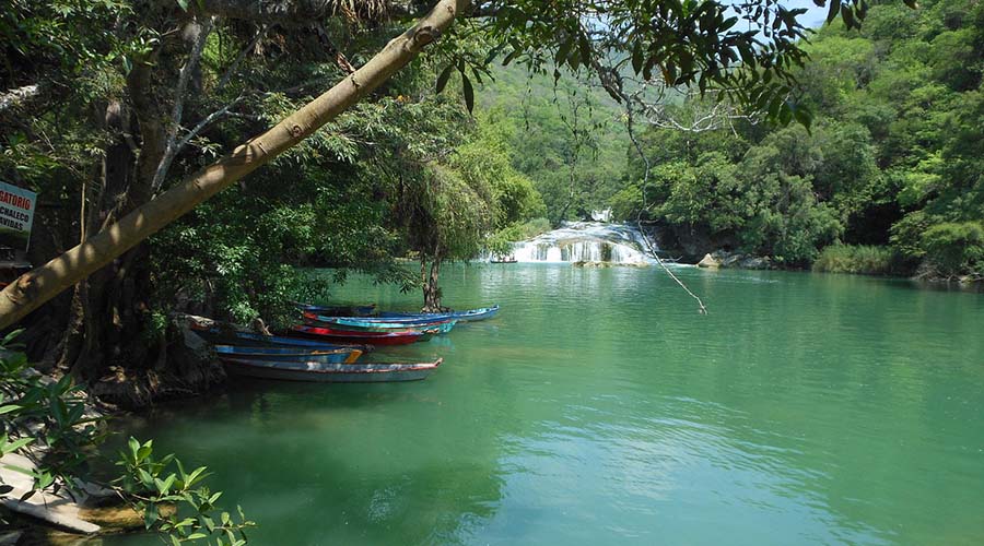
Mexico establishes water reserves for country’s rivers
June 6, 2018
Ian Hayden Parker
Mexico News
Related Posts
July 31, 2026
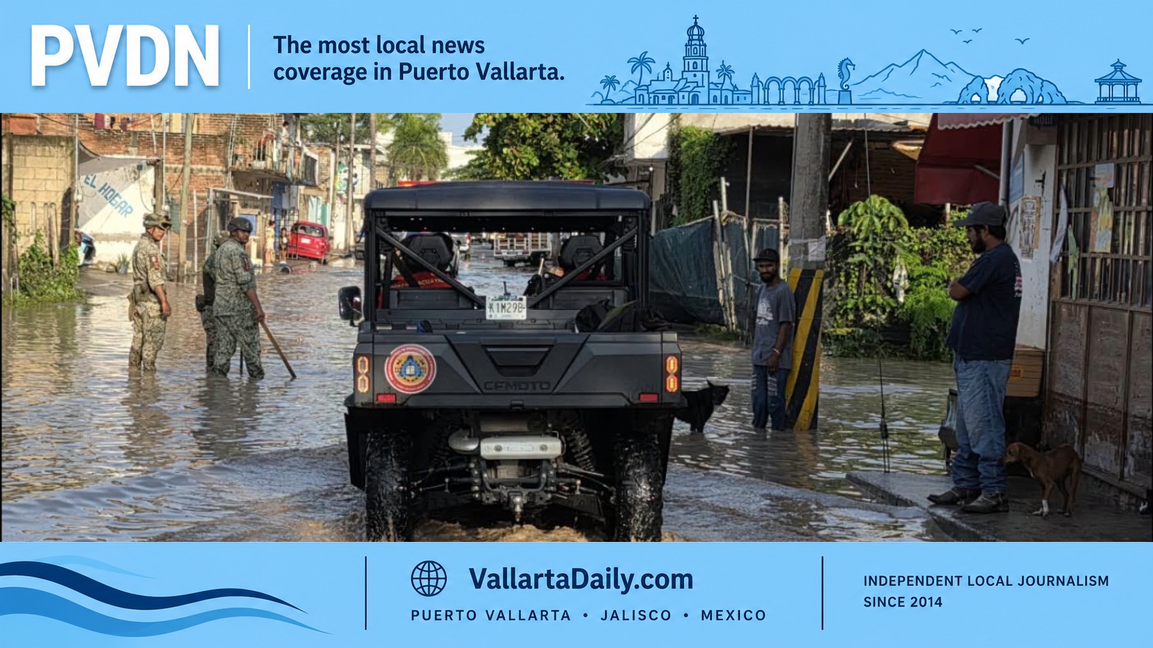
Vallarta storm leaves flooded streets and blocked canals
Heavy rain left flooded streets, blocked drains, canal obstructions and emergency patrols across Puerto Vallarta...
Weather & Hurricanes
Civil Protection
,
Flooding
,
Weather
July 31, 2026
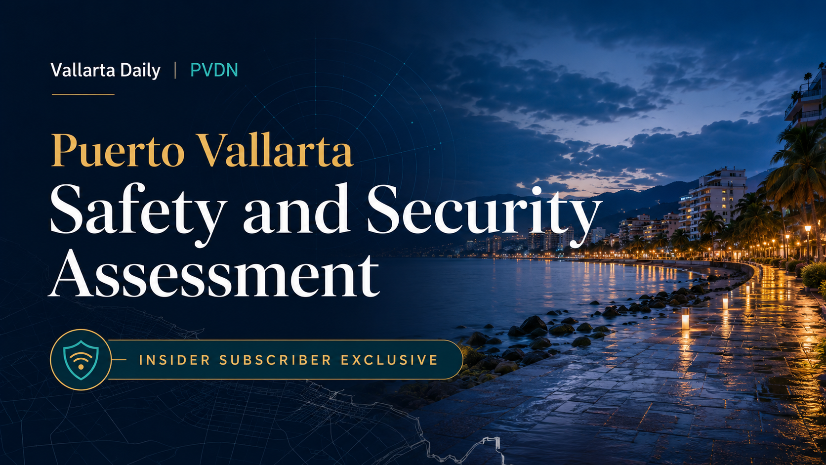
Insider Series: Puerto Vallarta July Safety and Security Assessment
Your Insider July briefing on policing, military patrols, beach rescues, flooding, fires, wildlife risks and...
Founding Members
Exclusive
July 31, 2026
Puerto Vallarta Brothers Win Two Surfing Gold Medals
Brothers Jonathan and Juan Pablo Melendres won longboard and SUP surf gold as Mexico topped...
Events & Culture
Sports
July 31, 2026
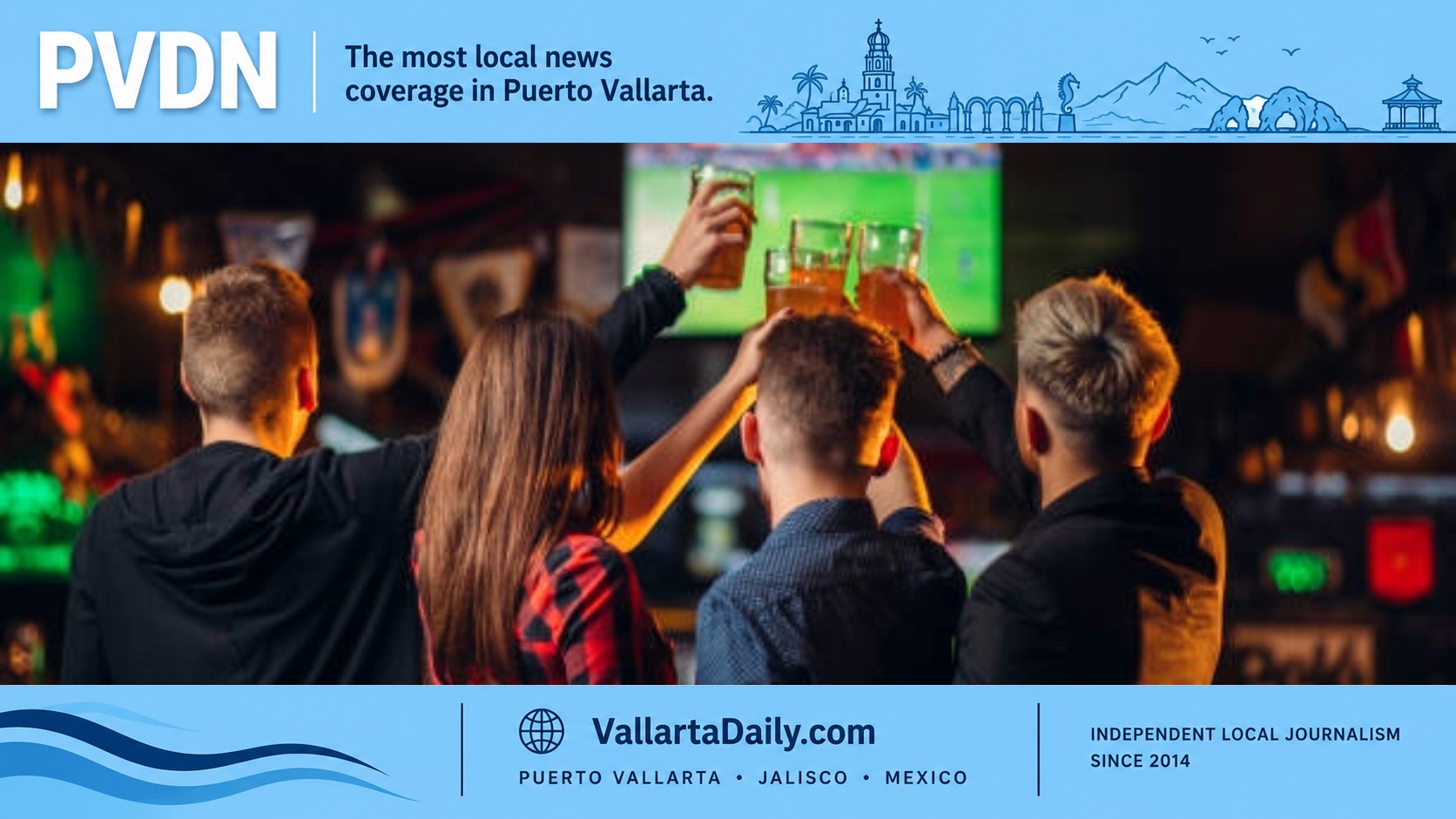
World Cup failed to deliver the expected restaurant sales in Puerto Vallarta
Most Puerto Vallarta restaurants missed the expected World Cup sales boost as airport traffic fell...
Business & Economy
Local Economy
,
Puerto Vallarta Restaurants
,
World Cup 2026