NASA uncovers evidence that Southern California fault connects to fault in Mexico

A multiyear study has uncovered evidence that a 21-mile-long (34-kilometer-long) section of a fault links known, longer faults in southern California and northern Mexico into a much longer continuous system. The entire system is at least 217 miles (350 kilometers) long.

Knowing how faults are connected helps scientists understand how stress transfers between faults. Ultimately, this helps researchers understand whether an earthquake on one section of a fault would rupture multiple fault sections, resulting in a much larger earthquake. A multiyear study has uncovered evidence that a 21-mile-long (34-kilometer-long) section of a fault links known, longer faults in southern California and northern Mexico into a much longer continuous system. The entire system is at least 217 miles (350 kilometers) long.

Knowing how faults are connected helps scientists understand how stress transfers between faults. Ultimately, this helps researchers understand whether an earthquake on one section of a fault would rupture multiple fault sections, resulting in a much larger earthquake.

A team led by scientist Andrea Donnellan of NASA’s Jet Propulsion Laboratory in Pasadena, California, recognized that the south end of California’s Elsinore fault is linked to the north end of the Laguna Salada fault system, just north of the international border with Mexico.

The short length of the connecting fault segment, which they call the Ocotillo section, is consistent with an immature fault zone that is still developing, where repeated earthquakes have not yet created a smoother, single fault instead of several strands.

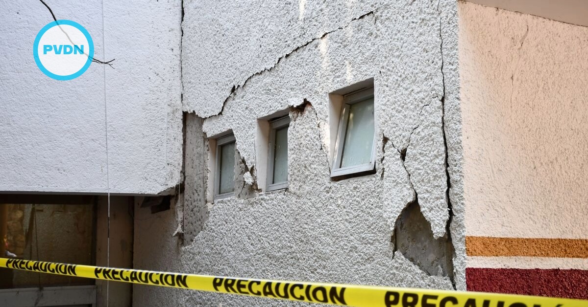
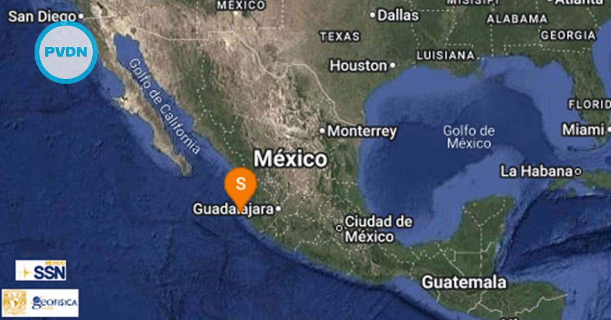
The Ocotillo section was the site of a magnitude 5.7 aftershock that ruptured on a 5-mile-long (8-kilometer-long) fault buried under the California desert two months after the 2010 El Mayor-Cucapah earthquake in Baja California, Mexico. The magnitude 7.2 earthquake caused severe damage in the Mexican city of Mexicali and was felt throughout Southern California.

It and its aftershocks caused dozens of faults in the region — including many not previously identified — to move.

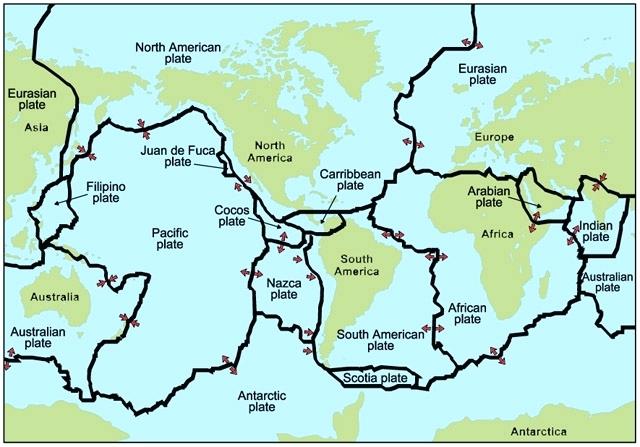
Seismic activity in the region is a sign of its complex geology. The Pacific and North American plates are grinding past each other in Southern California. In the Gulf of California, there’s a spreading zone where plates are moving apart. “The plate boundary is still sorting itself out,” Donnellan said.

Donnellan’s team has been studying this region since 2009, using data from NASA’s Uninhabited Aerial Vehicle Synthetic Aperture Radar (UAVSAR). This sophisticated airborne instrument measures the ground level with extreme accuracy, allowing scientists to see how the ground has shifted between flights.

The team also uses data from GPS stations in the region, which provide information on vertical motion of the ground. The study included team members from JPL, the University of California’s Irvine and Davis campuses, and Indiana University.

In the new study, Donnellan’s team was also able to better define where Earth’s crust continued slipping or deforming following the El Mayor-Cucapah earthquake and where other factors are important.

“The shaking is only part of the earthquake process,” she said. “The Earth keeps on moving for years [after the shaking stops]. What’s cool about UAVSAR and GPS is that you can see the rest of the process.”

Written by Carol Rasmussen – NASA’s Earth Science News Team

A multiyear study has uncovered evidence that a 21-mile-long (34-kilometer-long) section of a fault links known, longer faults in southern California . . .

Follow Us On Google News | Get Our Newsletter


Trending News on PVDN

  • cancun-beaches-50-tons-sargassum-cleanupCancún beach overwhelmed by over 50 tons of sargassum in 24 hours Over 50 tons of sargassum were removed from Cancún’s Chac Mool Beach in just 24 hours, as authorities ramp up cleaning efforts across three key public beaches. Cancún’s white-sand beaches are under pressure once again as an unusually large volume of sargassum has washed ashore in the last 24 hours, disrupting tourism and triggering a…
  • cancun-hotels-sargassum-cleanup-failuresCancún government demands answers from hotels on sargassum cleanup failures Mayor Ana Paty Peralta will meet with hotel leaders in Cancún to address failures in sargassum cleanup efforts, amid growing environmental and public health concerns. The municipal government of Benito Juárez is taking a firmer stance on the growing sargassum problem in Cancún, calling on the hotel industry to explain its inadequate handling of seaweed…
  • sargassum-slams-cancun-playa-restaurantsSargassum Crisis in Cancún and Playa del Carmen Forces Restaurants and Beach Clubs to Cut Staff Businesses in Cancún and Playa del Carmen report steep losses due to sargassum, with restaurants losing diners and beach clubs sending staff on unpaid leave. Restaurants and beach clubs along the shores of Puerto Juárez in Cancún and Playa del Carmen are grappling with a sharp downturn in business due to a relentless invasion of…
  • sargassum-free-beaches-quintana-roo-summer-2025Sargassum-Free Beaches in Quintana Roo for Summer 2025, including beaches in Cancún Travelers looking for sargassum-free beaches in Quintana Roo this summer can still find clear waters in Isla Mujeres and parts of Cancún, according to updated reports. As the summer travel season ramps up, much of the Caribbean coast is once again dealing with sargassum, the brown seaweed that washes ashore in thick mats and affects…
  • Body with signs of crocodile attack found in Ameca River, a leg was found last monthBeaches Closed in Nuevo Vallarta and Lo de Marcos After Crocodile Sighting Authorities temporarily close beaches in Nuevo Vallarta and Lo de Marcos after a crocodile was spotted in shallow waters. Tourists are urged to follow lifeguard guidance. Beaches in Nuevo Vallarta and Lo de Marcos were temporarily closed to the public on Friday, June 20, after a crocodile was spotted swimming close to shore, prompting swift…
  • bus-crashes-canal-puerto-vallartaBus crashes into canal in Puerto Vallarta’s 5 de Diciembre neighborhood A public transport bus crashed into a drainage canal in Puerto Vallarta’s 5 de Diciembre area. Authorities responded quickly, and no serious injuries were reported. A public transport bus veered off the road and plunged into a stormwater canal early Thursday morning in Puerto Vallarta’s 5 de Diciembre neighborhood, sparking concern among locals but leaving…
  • puerto-vallarta-flooding-landslide-hurricane-erickHeavy rains flood Puerto Vallarta streets and trigger landslide in tunnel Flooding from remnants of Hurricane Erick paralyzed key roads in Puerto Vallarta and caused a landslide in the Luis Donaldo Colosio tunnel, Civil Protection continues damage assessment. The city of Puerto Vallarta was overwhelmed Thursday night by heavy rainfall that caused major flooding, stranded vehicles, and triggered a landslide in the Luis Donaldo Colosio bypass…
  • heavy-rain-flooding-landslides-puerto-vallartaTrash-Choked Drains Make Puerto Vallarta Flooding Worse During Heavy Rain Overflowing storm drains clogged with garbage are fueling flooding in Puerto Vallarta, officials warn, as rains bring chaos to multiple neighborhoods. As heavy rain swept across Puerto Vallarta Thursday night and into Friday morning, flooding was widespread—but officials say much of the chaos was avoidable. The city’s stormwater drains, overwhelmed not just by rainfall but…
  • narco-banners-la-paz-violence-baja-california-surNarco-banners appear in La Paz after weekend violence leaves eight dead across Baja California Sur Two narco-banners surfaced in La Paz after a violent weekend that left eight people dead across La Paz, Comondú, and Loreto. Authorities are silent on the accusations. Two narco-banners appeared in La Paz on Sunday morning, escalating tensions after a violent Saturday that left eight people dead in Baja California Sur. The banners, which emerged…
  • puerto-vallarta-navy-hurricane-erika-reliefMexican Navy installs three collection centers in Puerto Vallarta for victims of Hurricane Erick One collection center on the Malecon makes it easy for foreigners to stroll the boardwalk and make a difference. In response to the devastating effects of Hurricane Erick in southern Mexico, the Secretariat of the Navy has activated the Navy Plan in its Relief Phase through the Twelfth Naval Zone, headquartered in Puerto Vallarta. The…
Scroll to Top