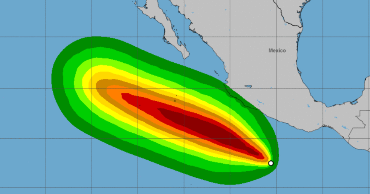
The National Weather Service has reported the formation of Tropical Depression Three-E off the coast of Guerrero and Oaxaca. The agency’s forecast predicts that the cyclone will intensify its winds and become a Tropical Storm and later a Hurricane. Its center is located about 555 kilometers south of Acapulco, Guerrero.
It currently registers maximum sustained winds of 55 km per hour, gusts of up to 75 km per hour, and is moving west-northwest at a speed of 13 km per hour. The effects of the storm will be directly on the coastal states and punctually, with intense rains in the regions of Guerrero, Michoacán, and Oaxaca, as well as strong winds and waves of two to four meters in height.
According to the SMN, the rains will cause an increase in water bodies such as rivers and streams, which, in turn, could cause flooding and overflows. The National Water Commission urged the population of these states to be aware of the development of the cyclone, as well as the indications given by the federal and local Civil Protection authorities.
If it becomes a Tropical Storm, it will receive the name “Estelle” and it will be the fifth cyclone of the current season in the Pacific Ocean. So far, Agatha, Blas, Celia, and Darby have been present, of which only Agatha had a direct impact on Mexican territory, leaving serious damage to Oaxaca. Except for Celia, they all became hurricanes.
The National Weather Service has reported the formation of Tropical Depression Three-E off the coast of Guerrero and Oaxaca. The agency's forecast . . .


