PUERTO VALLARTA, Jalisco, Sept. 18, 2026 — A disturbance south of Mexico had an 80 percent chance of becoming at least a tropical depression by Sept. 25, with hazardous seas possible off Jalisco next week.
The 11 a.m. tropical weather outlook placed development odds at 40 percent within 48 hours and 80 percent within seven days. The system was about 800 miles south-southwest of southwestern Mexico.
Invest EP99 was not yet a tropical depression or named storm. No center, forecast cone, landfall projection, watch or warning had been issued for Jalisco.
Marine conditions could worsen off Jalisco
The offshore waters forecast for Mexico said EP99 could affect waters off Michoacán and Jalisco from Tuesday night into midweek.
Forecasters expect fresh to strong winds and moderate to rough seas during that period. Those conditions are possible “regardless of development,” according to the forecast.
The detailed forecast for waters south of 20 degrees north latitude covers Colima and southern Jalisco. It calls for seas of 3 to 5 feet Saturday before waves increase Sunday.
Seas could reach 6 to 8 feet Sunday night and Monday. The forecast places the higher swell closest to the exposed coasts of Tomatlán, La Huerta and Cihuatlán, including the Costalegre and Barra de Navidad areas.
The National Hurricane Center measures significant wave height using the average height of the highest one-third of waves. Individual waves can be higher.
Numerous showers and thunderstorms were already occurring over waters off Jalisco and Colima on Friday. The Eastern Pacific weather discussion placed EP99’s tropical wave near 104 degrees west, south of 17 degrees north.
The center said, “A tropical depression is likely to form late this weekend or early next week.” It expects the system to move north-northwest and then north while remaining off southwestern Mexico.
The shaded area is not a storm track
The red-hatched area on the National Hurricane Center map shows where a tropical cyclone could form during the next seven days. It is not a forecast track, cone, or hazard area.
The red X marks the disturbance’s approximate location. The 80 percent figure represents the chance of cyclone formation somewhere within the shaded area. It does not represent an 80 percent chance of landfall in Jalisco or Puerto Vallarta.
Our review of the official marine zones found Puerto Vallarta within the broader forecast area north of 20 degrees latitude. That forecast calls for winds near 10 knots and seas generally between 3 and 5 feet from Saturday through Tuesday.
The marine zone covers a large area outside Banderas Bay. Conditions inside the bay and along exposed beaches can differ from the offshore forecast.
No tropical-storm winds have been forecast for Puerto Vallarta. A direct approach to Banderas Bay also has not been projected.
Heavy rain is already forecast in western Jalisco
Mexico’s national weather forecast calls for 25 to 50 millimeters of rain across western and southwestern Jalisco on Friday.
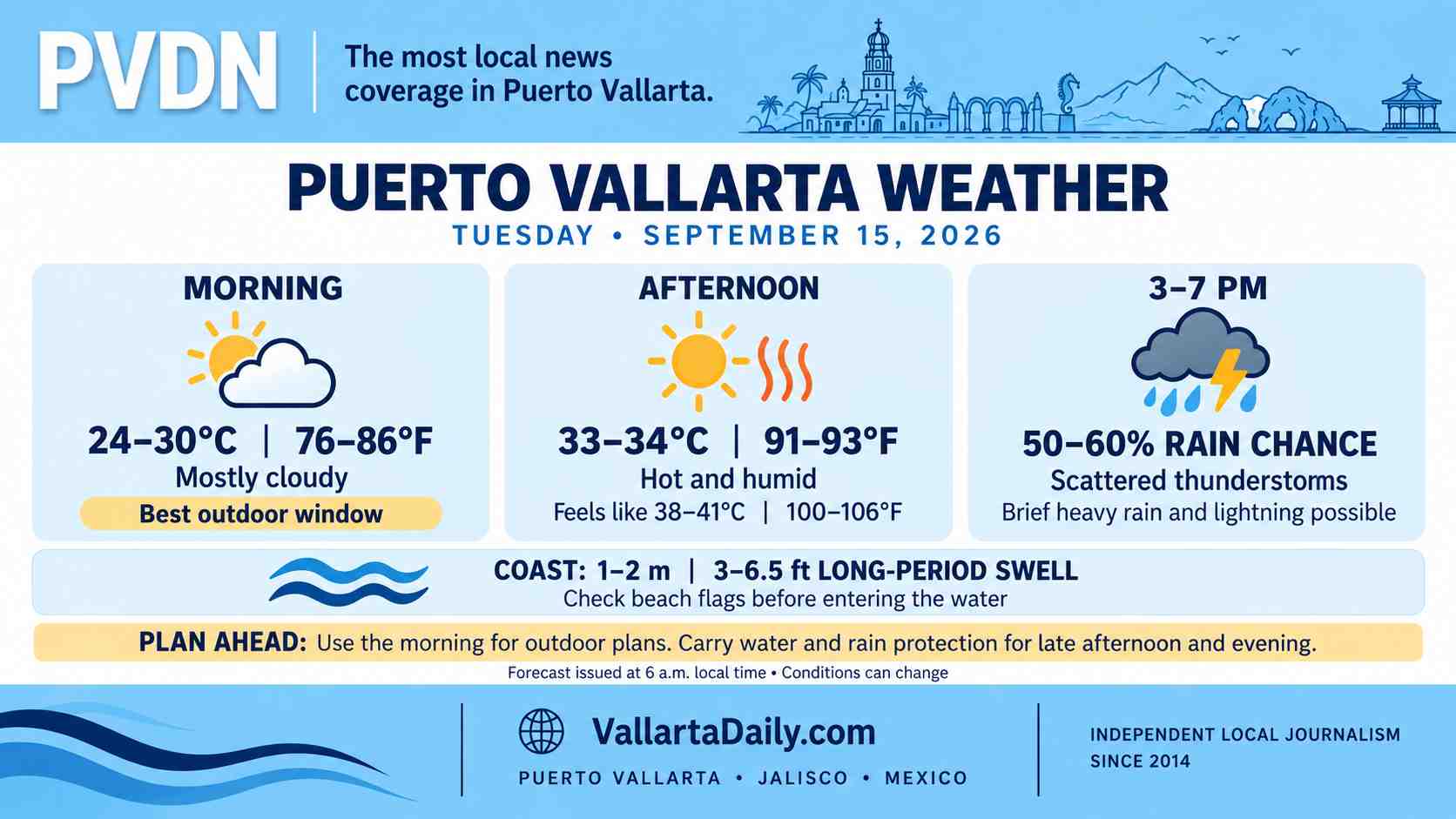
The forecast includes thunderstorms, possible hail and wind gusts between 30 and 50 kilometers per hour. Waves of 1 to 2 meters were forecast along the Jalisco coast.
The rain is associated with several weather systems affecting western Mexico. It cannot be attributed entirely to EP99, which remains far south of the coast.
Forecasters said heavy rain could cause standing water, flooding, landslides and rising levels in rivers and streams.
Puerto Vallarta’s municipal risk records identify recurring roadway flood points at Avenida Francisco Medina Ascencio and Politécnico Nacional. Other identified locations include the Centro Universitario de la Costa entrance, Calle Gaviotas and Avenida Víctor Iturbe.
Mountain runoff can reach the city’s river and drainage network within minutes. That means rainfall can affect roads even when a tropical system remains offshore.
EP99 arrives during Vallarta’s higher-risk period
The disturbance emerged as Puerto Vallarta entered its higher-risk late-season hurricane weeks.
Víctor Manuel Cornejo López, a meteorologist on the scientific committee advising local Civil Protection, said the city’s seasonal risk rises during the second half of September. He identified October as the period of greatest concern.
Cornejo López was describing seasonal storm patterns rather than EP99’s possible path. The National Hurricane Center had not issued a track-based advisory for the disturbance as of Friday’s 11 a.m. outlook.