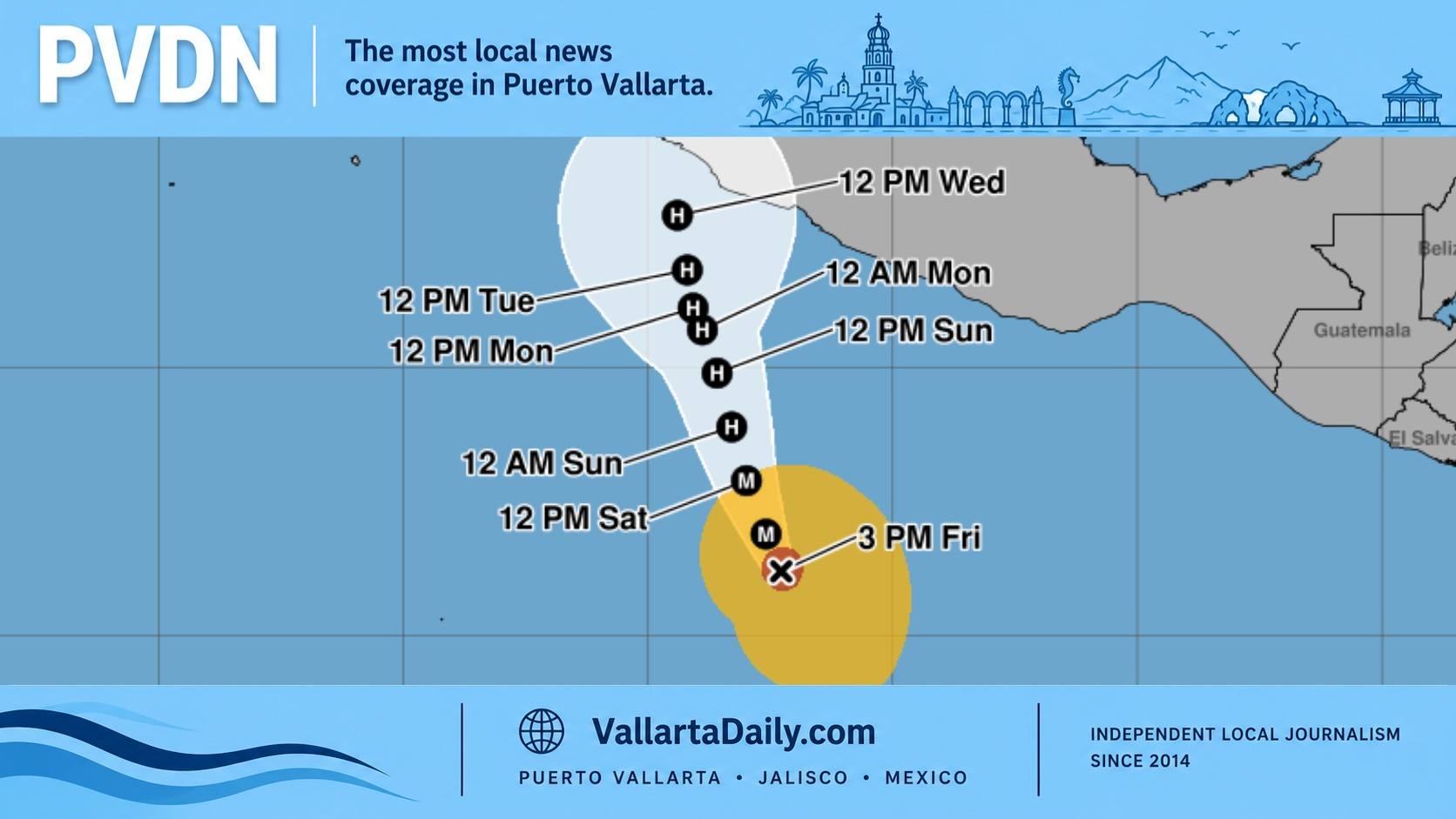
PUERTO VALLARTA (PVDN) – The Pacific Coast of Mexico is expecting more rainfall ranging from Chiapas to Nayarit, including Jalisco, as extensive cloud cover prevails. The weather condition is compounded by the looming threat of another cyclone, forecasted to traverse close to the coast.
Renowned meteorologist Víctor Manuel Cornejo López stated that tropical wave number 18 is merging with a low-pressure center over the Gulf and Isthmus of Tehuantepec. This merging is causing an extensive area of clouds and precipitation affecting all Pacific coastal states from Chiapas to Nayarit. The meteorologist warned of possible violent storms in these states.
Reflecting on the recent weather conditions, Cornejo López referred to yesterday’s situation in Puerto Vallarta, where the upper part of El Pitillal registered a staggering 98.1 liters of water per square meter. The Versalles area reported 45.4 liters, and the Lázaro Cárdenas neighborhood 46.2 liters. All were accompanied by thunderstorms.
“Today dawned with cloudy skies,” Cornejo López said. “The more hours of sun, the more intense the rains become. Today’s maximum temperatures will hover around 34ºC, with the average minimum at 26 and a half degrees.”
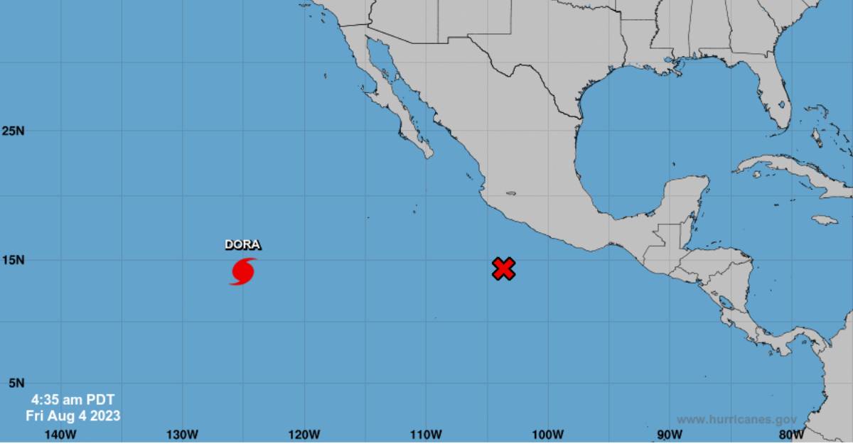
The meteorologist further warned about the gradual organization of a new tropical disturbance in the seas of the Mexican South Pacific. According to the U.S. National Hurricane Center, there is a 70% probability of cyclonic development. The Windy weather forecasting service anticipates this system could become a tropical cyclone between Friday and Saturday, advancing quite close to the Mexican coasts during the weekend.
Cornejo López also noted the presence of Hurricane “Dora”, which has recently weakened to a category 3 hurricane from category 4 on the Saffir-Simpson scale. With sustained winds over 215 km per hour, Dora is luckily continuing to move offshore at 28 km per hour, already more than 1,260 km southwest of Cabo San Lucas.
The meteorologist attributed Dora’s intensification to marine warming influenced by the El Niño phenomenon. He cautioned that this will likely contribute to the formation of more cyclones in the coming months, with a heightened risk from September. This warming is also expected to bring more intense ambient temperatures in the region during August and September.