Riviera Nayarit’s Protected Natural Areas, a treasure house of biodiversity

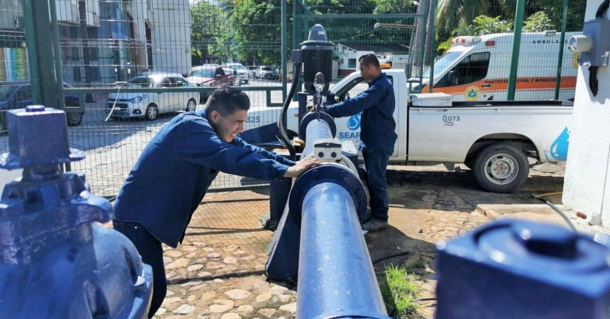
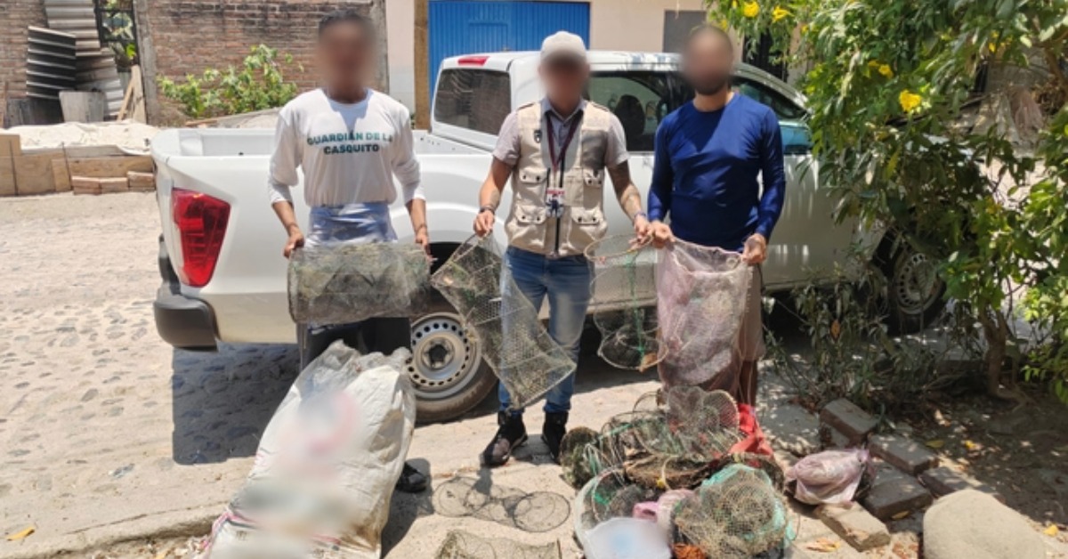
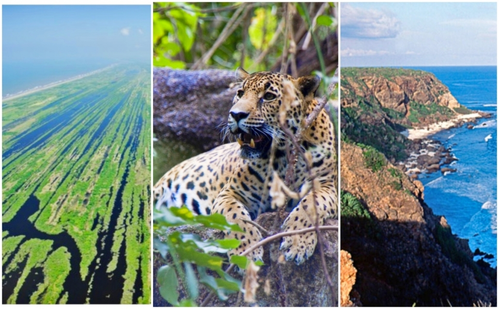
The Riviera Nayarit is home to several important areas designated as Protected Natural Areas (PNA), which together comprise our destination’s greatest natural treasure.

The PNAs were created to conserve our natural patrimony through the proper stewardship of these areas, as well as allow for significant income generation for the people living in their vicinity. Thanks to the biological monitoring performed by the Conanp (Commission of Natural Protected Areas) coastguard we know how important it is to conserve and care for these areas.

We realize travel after COVID-19 will be different. There will be an increase in demand for more sustainable destinations with less mass tourism, and visitors will demand more from tourism providers in terms of hygiene and sustainability. In order to continue to be competitive, destinations must adapt to these new tendencies, offering unique experiences to their visitors.

In this respect, the Riviera Nayarit has made it clear that its value resides beyond its promise of sun and sand, and offers its visitors so much more, including seven Protected Natural Areas.

The richest PNAs are Islas Marietas National Park, Isla Isabel National Park, the natural reserve at Islas Marías, Sierra de Vallejo, Isla del Coral, the National Wetlands, and La Tovara National Park. Together, they cover 800 thousand hectares.

Islas Marietas National Park

This park was designated a Protected Natural Area on April 25, 2005; three years later it was named a UNESCO Biosphere Reserve, and in 2004 it was named a Ramsar Site (a Wetland of International Importance for its biodiversity and bird habitat). According to data from the Conanp, it is home to the largest nesting site for the brown-footed booby and probably has the largest population of its kind in the world at over 30 thousand birds. It is a privileged spot to visit, one that must be treated with great care and respect.

Area: 1,383 hectares.

Islas Marietas National Park.

Islas Marías

The Islas Marías natural reserve is a PNA and a UNESCO Biosphere Reserve. This archipelago is made up of four islands—Isla Madre, María Magdalena, María Cleofas, and the San Juanito islet—located in the Pacific Ocean 112 km from the coast of San Blas. These islands are home to an incredible number of species of flora and fauna, both wild and endemic, including the Islas Marías parrot, the Islas Marías raccoon, the Islas Marías boa, and the Islas Marías butterfly. The area also encompasses an ample variety of ecosystems: coastline, reefs, mangroves, and low and medium jungle, all of which harbor the genetic heritage of humanity.

Area: 641,284 ha.

The Islas Marías natural reserve.

Isla del Coral

Besides a tourist destination, this islet located just 3 kilometers off the coast of Rincón de Guayabitos is a tiny paradise with a gorgeous turquoise-tinted beach that resembles a natural aquarium, plus an incredible variety of flora and fauna. Isla del Coral has become an icon of the destination. Manta rays, turtles, starfish, and schools of multicolored fish are commonly sighted in its crystal-clear water.

Area: 13 ha.

Isla del Coral.

Isla Isabel

The Isla Isabel National Park is located just off the coast of Santiago, Ixcuintla, and was the first designated PNA in Nayarit. It’s also a Biosphere Reserve thanks to its nearly virgin status and mountainous landscape with cliffs and panoramic views of the Pacific Ocean; it was also named a Ramsar Site by the Ramsar Convention on Wetlands and the World Heritage Convention. There’s no doubt Isla Isabel is an amazing place and is reserved for travelers who appreciate nature, as well as recreational and professional divers seeking spectacular marine landscapes.

Area: 194 ha.

The Isla Isabel National Park.

Sierra de Vallejo

The Sierra de Vallejo was declared a Protected Natural Area in 2005 within the Biosphere Reserve category; it covers an area of 63,598 hectares that extend across the municipalities of Bahía de Banderas and Compostela, including 2,000 hectares that were declared a Jaguar Sanctuary. This extraordinary PNA is home to enchanting flora and fauna and is crisscrossed by rivers and streams that tumble down from the mountains, of which Cerro Vallejo is the main peak. Because of its environmental importance, it is a part of the heritage of the people of Nayarit, of Mexico, and of the entire world.

Area: 63,598 ha.

Sierra de Vallejo.

Nayarit National Wetlands

This exceptional area known as the Nayarit National Wetlands (Marismas Nacionales Nayarit) is located in the northeastern portion of the state. It is an enormous network of saltwater coastal lagoons, mangrove forests, swamps, deltas, and wetlands that represent between 15 and 20% of the total mangrove ecosystems in the country. This Protected Natural Area falls under the Biosphere Reserve Category, declared on May 12, 2010. It is also a Ramsar Site for its importance as a wetland and of international importance as a site for birds. Isla Jaguar is located within the National Wetlands and is a sanctuary for these imposing felines; the Conanp has installed several monitoring checkpoints in this area.

Area: 133,854 ha.

Nayarit National Wetlands.

La Tovara

Located in the municipality of San Blas, La Tovara natural park has been recognized as a Ramsar Site for the enormous variety of endemic and migratory species that reside there. This is an extraordinary habitat, made up of an estuary and a freshwater spring, with navigable canals surrounded by different types of mangroves, leafy vegetation, and beautiful flowers including orchids and bromeliads. It’s also home to 16 different species of animals, including the swamp and river crocodiles, the green macaw, the coati, and the white-tailed deer.

Area: 5,733 ha.

La Tovara natural park.

The Riviera Nayarit Convention and Visitors Bureau (CVB) and the Bahía de Banderas Hotel and Motel Association (AHMBB) continue to work together to advance the region, strengthening its promotion and helping position it on the world map with the support of the Government of the State of Nayarit via the Tourism Promotion Trust (Fiprotur).

Originally posted on rivieranayarit.com

The Riviera Nayarit is home to several important areas designated as Protected Natural Areas (PNA . . .

Follow Us On Google News | Get Our Newsletter


Trending News on PVDN

  • cancun-beaches-50-tons-sargassum-cleanupCancún beach overwhelmed by over 50 tons of sargassum in 24 hours Over 50 tons of sargassum were removed from Cancún’s Chac Mool Beach in just 24 hours, as authorities ramp up cleaning efforts across three key public beaches. Cancún’s white-sand beaches are under pressure once again as an unusually large volume of sargassum has washed ashore in the last 24 hours, disrupting tourism and triggering a…
  • cancun-hotels-sargassum-cleanup-failuresCancún government demands answers from hotels on sargassum cleanup failures Mayor Ana Paty Peralta will meet with hotel leaders in Cancún to address failures in sargassum cleanup efforts, amid growing environmental and public health concerns. The municipal government of Benito Juárez is taking a firmer stance on the growing sargassum problem in Cancún, calling on the hotel industry to explain its inadequate handling of seaweed…
  • sargassum-slams-cancun-playa-restaurantsSargassum Crisis in Cancún and Playa del Carmen Forces Restaurants and Beach Clubs to Cut Staff Businesses in Cancún and Playa del Carmen report steep losses due to sargassum, with restaurants losing diners and beach clubs sending staff on unpaid leave. Restaurants and beach clubs along the shores of Puerto Juárez in Cancún and Playa del Carmen are grappling with a sharp downturn in business due to a relentless invasion of…
  • Body with signs of crocodile attack found in Ameca River, a leg was found last monthBeaches Closed in Nuevo Vallarta and Lo de Marcos After Crocodile Sighting Authorities temporarily close beaches in Nuevo Vallarta and Lo de Marcos after a crocodile was spotted in shallow waters. Tourists are urged to follow lifeguard guidance. Beaches in Nuevo Vallarta and Lo de Marcos were temporarily closed to the public on Friday, June 20, after a crocodile was spotted swimming close to shore, prompting swift…
  • sargassum-free-beaches-quintana-roo-summer-2025Sargassum-Free Beaches in Quintana Roo for Summer 2025, including beaches in Cancún Travelers looking for sargassum-free beaches in Quintana Roo this summer can still find clear waters in Isla Mujeres and parts of Cancún, according to updated reports. As the summer travel season ramps up, much of the Caribbean coast is once again dealing with sargassum, the brown seaweed that washes ashore in thick mats and affects…
  • Cancún Steps Up Strategy as 40 Tonnes of Sargassum Removed in One DayCancún sargassum removal hits 40 tonnes in one day as beach cleanup expands Cancún steps up sargassum removal efforts with 40 tonnes cleared from beaches in a single day, signaling a more aggressive approach to protect tourism. City officials in Cancún ramped up their beach cleaning efforts this week, clearing 40 tonnes of sargassum from Playa Chac Mool in just one day, one of the largest single-day removals…
  • baja-california-sur-violence-2025Violent Weekend in Baja California Sur Leaves 10 Dead and Sparks Public Fear Baja California Sur faced one of its deadliest weekends in 2025, with 10 people killed during violent clashes in La Paz, Comondú, and Loreto, including innocent victims. Baja California Sur endured one of the bloodiest weekends of 2025, as a wave of violence swept through the municipalities of La Paz, Comondú, and Loreto. In under…
  • cancun-hotels-sargassum-cleanup-failuresCancun Weekly Sargassum Outlook (June 24–30, 2025) Sargassum levels across the Caribbean continue to rise as the 2025 season peaks. Tourists heading to Cancún or Isla Mujeres this week should be prepared for varying beach conditions. Here’s what to expect. 📡 Offshore Conditions Satellite data from the University of South Florida reports the Great Atlantic Sargassum Belt has reached record levels this…
  • puerto-vallarta-flooding-landslide-hurricane-erickHeavy rains flood Puerto Vallarta streets and trigger landslide in tunnel Flooding from remnants of Hurricane Erick paralyzed key roads in Puerto Vallarta and caused a landslide in the Luis Donaldo Colosio tunnel, Civil Protection continues damage assessment. The city of Puerto Vallarta was overwhelmed Thursday night by heavy rainfall that caused major flooding, stranded vehicles, and triggered a landslide in the Luis Donaldo Colosio bypass…
  • bus-crashes-canal-puerto-vallartaBus crashes into canal in Puerto Vallarta’s 5 de Diciembre neighborhood A public transport bus crashed into a drainage canal in Puerto Vallarta’s 5 de Diciembre area. Authorities responded quickly, and no serious injuries were reported. A public transport bus veered off the road and plunged into a stormwater canal early Thursday morning in Puerto Vallarta’s 5 de Diciembre neighborhood, sparking concern among locals but leaving…
Scroll to Top