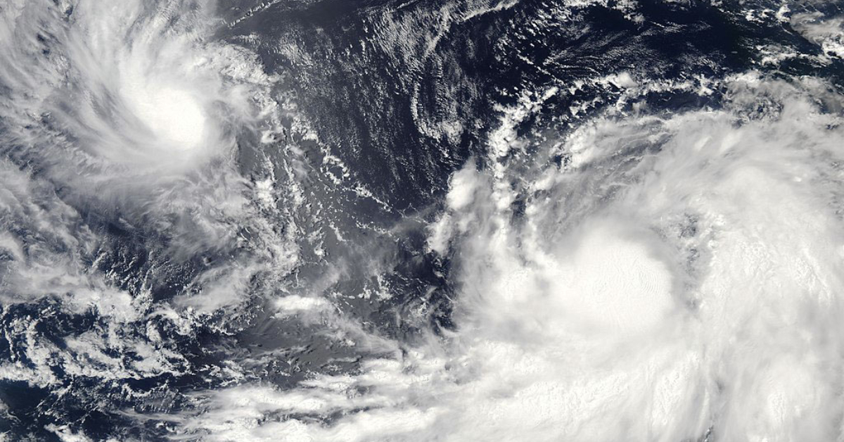
A tropical wave located a few hundred miles south of Manzanillo, Mexico is producing a large area of disorganized showers and thunderstorms. Environmental conditions are forecast to be conducive for gradual development during the next few days, and a tropical depression is expected to form later this week or by this weekend. The system is forecast to move west-northwestward or northwestward, likely remaining a few hundred miles off the coast of southwestern Mexico.
Another area of low pressure is forecast to form south of the southern coast of Mexico by late this week. The gradual development . . .