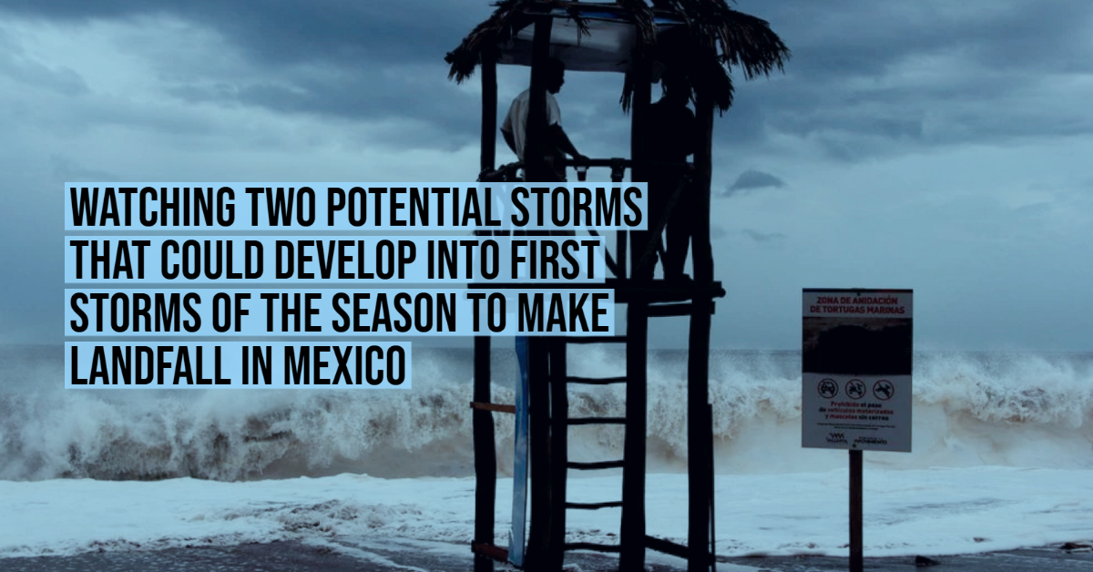
The National Civil Protection Coordination warned that two low-pressure areas with the possibility of becoming tropical cyclones will cause the first rains of the 2021 Hurricane Season to reach Mexico.
A tropical cyclone is the term used by meteorologists to describe a rotating, organized system of clouds and thunderstorms that originates over tropical or subtropical waters, anywhere in the world, and has closed, low-level circulation.
The climate agency explained that these events are located very close to the Mexican coast. The first of them is located in the waters of the Pacific Ocean, just 160 kilometers from Oaxaca. Its center will “slowly border the coasts of Oaxaca, Chiapas, Guerrero, and Michoacán, with the possibility of landfall”. The second storm is moving through the Gulf of Mexico, about 195 kilometers from Veracruz.
Due to its wide circulation and its proximity to the coast, both areas will cause torrential rainfall. In addition, they will reinforce the influx of humidity in Mexico, and “in combination with a low-pressure channel, and with higher atmospheric instability, they will generate heavy rains at intense points, lightning and possible hailstorms in the south, southeast, east, center, and west of the country ”, including the Valley of Mexico.
System in the Pacific Ocean
To the south of the coasts of Oaxaca, a low-pressure zone was detected that this Sunday will generate significant rainfall in the south and east of Mexico.
The SMN warned that this system is very close to the coast, just 160 kilometers south-southwest of Puerto Ángel, Oaxaca, and has a 10% chance of becoming a tropical cyclone within two days.
At the moment, its maximum sustained winds register a speed of 14.2 km / h and very intense gusts of up to 96.5 km / h. Its position in the Pacific is stationary, so it will continue to hit the national territory throughout Sunday.
“Its wide circulation causes potential torrential rains in Oaxaca, Chiapas, and Veracruz, intense rains in Puebla, and very strong in Guerrero and Michoacán. It is urged to take extreme precautions in general in the areas of the aforementioned states due to rain, wind, and waves (including maritime navigation) and to comply with the recommendations issued by the authorities of the National Civil Protection System in each entity ”, requested SMN.
Tropical Storm Carlos has formed further off the coast of Mexico and does not pose any risk to land.
System in the Atlantic Ocean
In addition, the climate agency is monitoring a system in the Atlantic Ocean, with a 50% chance of cyclonic development in the next five days.
“A low-pressure zone is located on the southern Gulf of Mexico, approximately 195 km northeast of Veracruz. It maintains a 10% probability for cyclonic development in 48 hours, and increases to 50% in five days, with slow displacement. This system produces intense to torrential rains that will continue during the following days, mainly in Veracruz, Tabasco, and Campeche ”, added the SMN.
The area registers maximum sustained winds of 20 km / h, with stronger gusts of up to 30 km / h. For any of these low-pressure zones to become a tropical storm, it needs maximum sustained winds of at least 40 mph.
Rain forecast for Sunday
Due to the conditions described, this Sunday, June 13, the following precipitations are expected in Mexico:
- Torrential rains: Veracruz, Oaxaca and Chiapas.
- Intense rains: Nayarit, Jalisco, Puebla, Tabasco and Campeche.
- Very heavy rains: Michoacán, Guerrero, Morelos, Mexico City, State of Mexico, Tlaxcala, Hidalgo and Yucatán.
- Heavy rains: San Luis Potosí, Guanajuato, Querétaro, Colima and Quintana Roo.
- Showers: Tamaulipas, Sinaloa, Durango, Zacatecas and Aguascalientes.
- Isolated rains: Baja California Sur, Sonora, Chihuahua and Nuevo León.
The National Coordination of Civil Protection warned that floods could occur in Chiapas, Oaxaca, Puebla, Tabasco, Veracruz, Guerrero, Campeche and Michoacán, and urged the population to keep abreast of the information published by state authorities. In those states, citizens were also urged not to cross the rivers, due to the danger that their flow would increase.
“Due to the amount of rain that can fall it is possible the occurrence of sudden floods in small basins, overflows of streams and rivers; as well as urban floods and mudslides,” the agency wrote.
Hurricane season 2021 in the Pacific Ocean
This year, the hurricane season in the Pacific began earlier than ever. Tropical storm Andrés formed on Sunday, May 9, off the coasts of Jalisco and Michoacán, and in doing so it broke a historical record, since never before, since there are records, had a system of that magnitude originated so soon in the northeastern part of this ocean. The previous record had been set by Tropical Storm Adrián, which emerged on May 10, 2017.
In addition, Andrés also anticipated the official start of the hurricane season in the Pacific, which begins each year on May 15 and ends on November 30.
According to the SMN, the following systems are expected in 2021:
- Tropical storms: between 7 and 10.
- Strong hurricanes (categories 1 and 2 ): from 3 to 5.
- Intense hurricanes (categories 3, 4 or 5): from 4 to 5.
Total: between 14 and 20 tropical cyclones.
The data is in the average collected for this Ocean between 1991 and 2020, which is 15 cyclones.
Names for the Northeast Pacific: Andrés -already used-, Blanca -already used-, Carlos -already used-, Dolores, Enrique, Felicia, Guillermo, Hilda, Ignacio, Jimena, Kevin, Linda, Marty, Nora, Olaf, Pamela, Rick, Sandra, Terry, Vivian, Waldo, Xina, York, Zelda.
The National Civil Protection Coordination warned that two low-pressure areas with the possibility of becoming tropical cyclones will cause the first rains of . . .