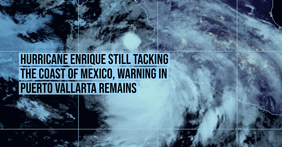
Enrique is moving toward the north near 8 mph (13 km/h). A turn toward the north-northwest and then northwest is expected to begin tonight. That general motion should continue thereafter for a few days. On the forecast track, the core of the hurricane, along with the strongest winds, are expected to pass near the southwestern coast of Mexico tonight.
Maximum sustained winds are near 90 mph (150 km/h) with higher gusts. Little change in strength is expected tonight. Enrique is then forecast to begin weakening on Monday and continue to weaken through early this week.
Hurricane-force winds extend outward up to 25 miles (35 km) from the center and tropical-storm-force winds extend outward up to 105 miles (165 km). A wind gust to 46 mph (74 km/h) was recently reported at Manzanillo, Mexico.
Hurricane conditions are expected somewhere within the Hurricane Warning area tonight or early Monday. Tropical storm conditions are occurring in portions of the tropical storm warning area and will continue to spread northwestward through tonight. Hurricane conditions are possible in the Hurricane Watch area tonight. Tropical storm conditions are possible in the Tropical . . .