Low pressure system off coast of Mexico could become third named storm of the season

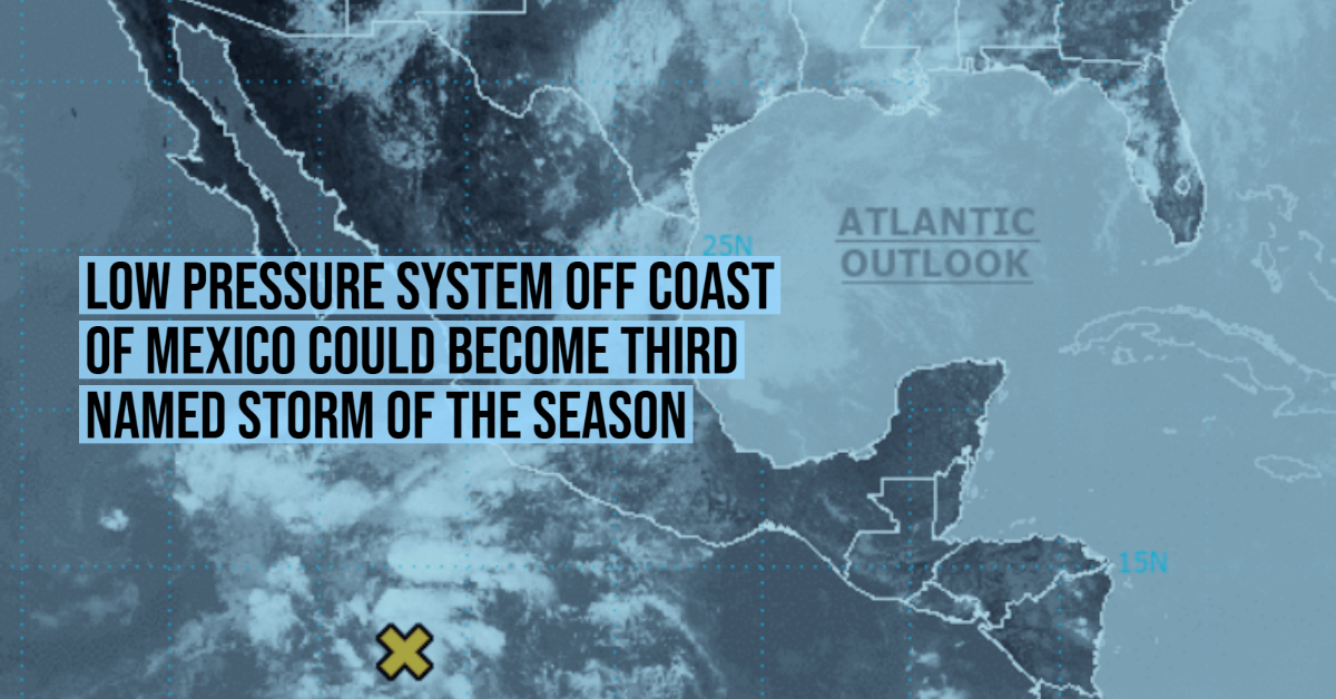
We are watching an area of low pressure that has developed within a larger-scale trough located several hundred miles south of Manzanillo, Mexico.

Showers and thunderstorms associated with this system have become better organized today, and further development is now expected.

A tropical depression is likely to form by early next week as it moves slowly to the west-northwest well off the coast of Mexico.

  • Formation chance through 48 hours…medium…50 percent.
  • Formation chance through 5 days…high…70 percent.

The Hurricane season officially began on May 15 in the Eastern Pacific Ocean, and on June 1 in the Central Pacific; both will end on November 30. These dates historically describe the period each year when most tropical cyclones form in the Pacific Ocean basin and are adopted by the convention. However, the formation of tropical cyclones is possible at any time of the year, as illustrated by the formation of Tropical Storm Andres on May 9. Andres was the earliest forming tropical storm in the northeastern Pacific . . .

Continue Reading

Related Posts

Mexico City double alert

Purple alert, flooded streets, more rain on the way for Mexico City

Authorities maintain double alerts after Mexico City’s heaviest storm of the season floods streets, halts...
Storm in Mexico City disrupts Puerto Vallarta flights

Storm in Mexico City Grounds Flights, Disrupting Travel in Puerto Vallarta

Puerto Vallarta, Jalisco - Severe weather in Mexico City over the weekend led to the...
Heavy rains and extreme heat in Mexico create a dual alert

Puerto Vallarta Weather Stable Despite Tropical Storm Ivo

Local officials say Puerto Vallarta faces no direct impacts from Tropical Storm Ivo, noting only...
Tropical Storm Ivo

Tropical Storm Ivo Approaches Western Mexico Bringing Heavy Rain and Strong Winds

Tropical Storm Ivo, located off the coast of Jalisco and Baja California Sur, is set...