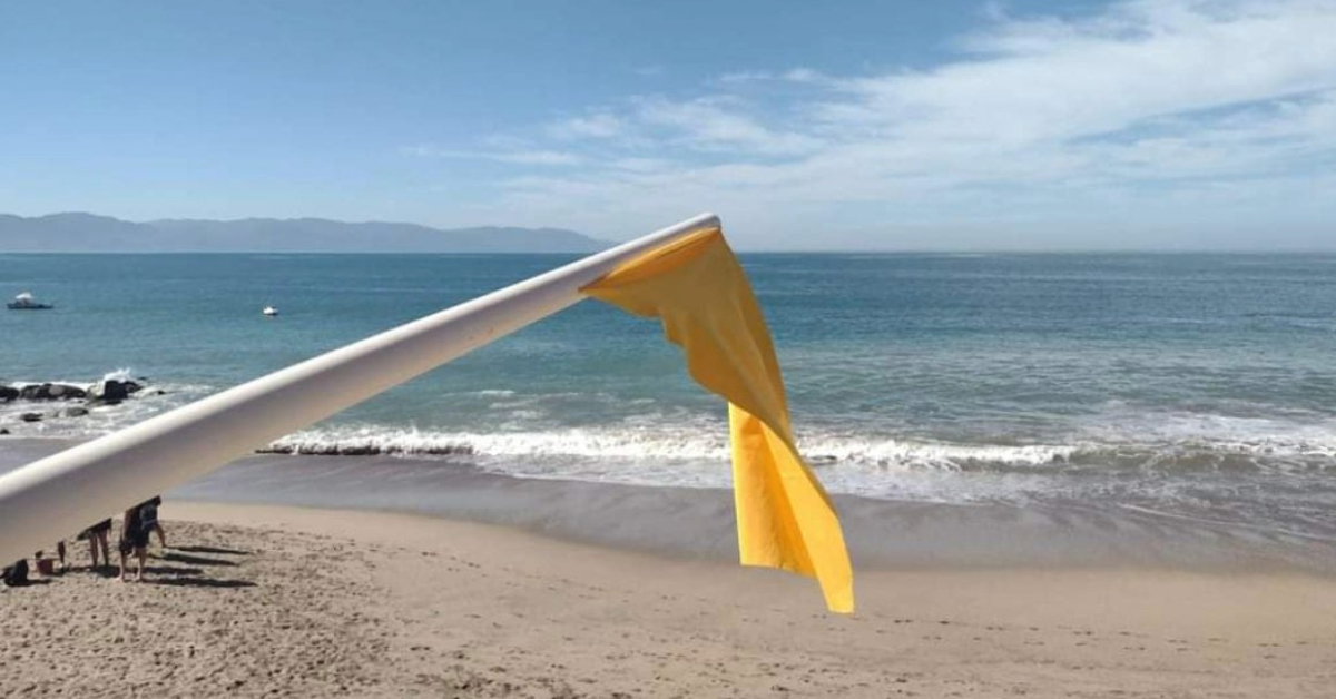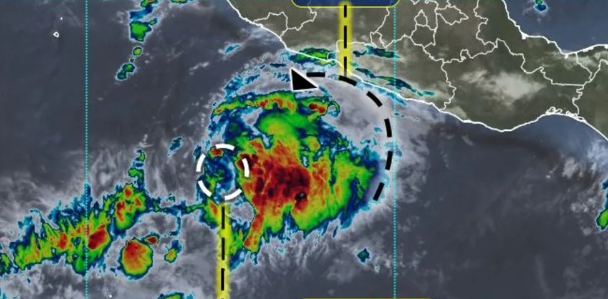
The National Water Commission, through its National Meteorological Service, has reported the formation of tropical depression Nine-E off the Mexican Pacific coast. In the forecast, it is expected that during the next 24 hours it will intensify until it becomes a tropical storm under the name of Howard, as well as very heavy rains in the west and south of the country.
The cyclone is located approximately 545 km south-southwest of Manzanillo, Colima, and 585 km south of Playa Pérula, Jalisco. With sustained winds of 55 km per hour and gusts of up to . . .