During the next few hours, the cloud bands of Hurricane Hilary, category I, will cause wind gusts of 60 to 70 kilometers per hour and waves of 2.5 to 3.5 meters on the coasts of Jalisco, Colima, Michoacán and Guerrero.
The National Meteorological Service (SMN) warned that intense storms are expected in Michoacán regions, very strong thunderstorms in Jalisco, Colima and Guerrero, as well as strong storms in areas of Nayarit.
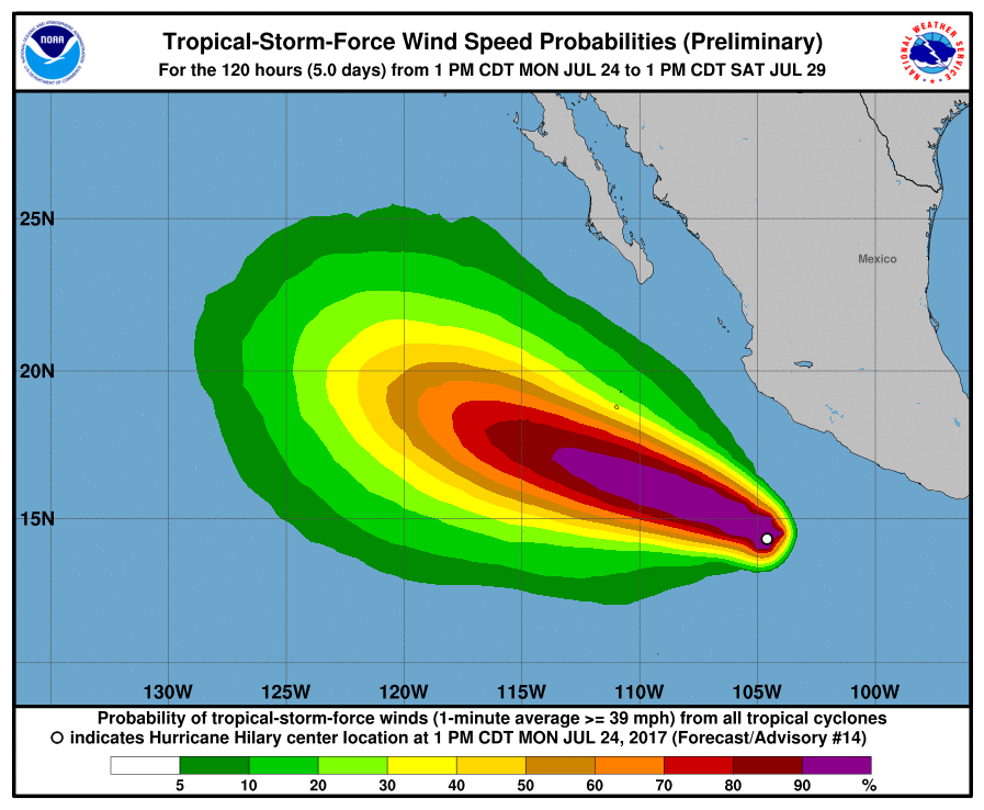
In its most recent report, at 1:00 p.m., time in central Mexico, the category 1 hurricane on the Saffir-Simpson scale was located approximately 460 km south-southwest of Punta San Telmo, Michoacán.
The meteorological indicated that it is located to 525 kilometers to the south of Manzanillo, Colima, presents sustained maximum winds of 130 kilometers per hour, gusts of 155 kilometers per hour and moves west-northwest at 13 kilometers per hour.
In view of these conditions, the National Water Commission (Conagua) and the SMN recommended individuals and maritime ships in the area to use extreme precautions and to comply with the recommendations issued by the authorities of the National System of Civil Protection.
Hurricane Hilary will remain well off the coast of Mexico and could have a minimal impact on weather in Puerto Vallarta with rains, light winds, and heavy surf.
During the next few hours, the cloud bands of Hurricane Hilary, category I, will cause wind gusts of 60 to 70 kilometers per hour and . . .


")


