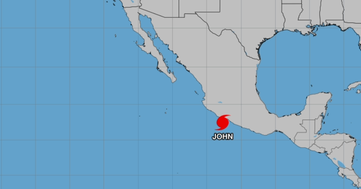
Puerto Vallarta is bracing for potential impacts from Hurricane John, which has re-intensified to a Category 1 storm off the Pacific coast of Mexico. After a brief weakening period, the hurricane has gained strength once again, now posing a significant threat to various coastal regions, including Puerto Vallarta. The National Meteorological Service (SMN) has issued warnings as the storm edges closer to the state of Michoacán.
According to the SMN, Hurricane John is currently located approximately 90 kilometers south-southwest of Lázaro Cárdenas, Michoacán, and 115 kilometers west-southwest of Zihuatanejo, Guerrero. With maximum sustained winds of 120 km/h and gusts of up to 150 km/h, the storm’s wide circulation is expected to cause significant weather disruptions along Mexico’s west, south, and southeastern coasts, including Puerto Vallarta.
Heavy Rains and Wind Expected for Puerto Vallarta
Although Hurricane John is not expected to make direct landfall in Puerto Vallarta, the storm’s large circulation will likely bring heavy rains and strong winds to the region. Rainfall amounts in Jalisco are expected to range from 50 to 75 mm, with localized areas possibly experiencing even more intense precipitation.
The SMN also warned of wind gusts reaching 50 to 70 km/h along the coast of Jalisco, including Puerto Vallarta, and waves as high as 2 to 4 meters. Local authorities are urging residents and visitors to exercise caution and avoid unnecessary activities near the coastline due to the dangerous surf and potential flooding.
Coastal Conditions and Sea Activity
Puerto Vallarta’s beaches are expected to be heavily affected by Hurricane John’s impact. With the storm forecasted to produce waves as high as 4 meters along the Jalisco coast, beachgoers are advised to stay away from the shoreline. Maritime activities, including fishing, boating, and water sports, should be postponed until conditions stabilize. The possibility of waterspouts forming in coastal areas has also been highlighted as a potential hazard, adding to the risks for those near the water.
As a precaution, maritime navigation has been restricted in affected areas, and vessels are being instructed to follow all guidance from port authorities.
Nearby States Face Greater Risk
While Puerto Vallarta is expected to face significant weather impacts, other regions are at an even greater risk. The hurricane prevention zone remains in effect from Tecpan de Galeana, Guerrero, to Punta San Telmo, Michoacán, as well as the tropical storm prevention zone from Punta Maldonado to Tecpan de Galeana, Guerrero, and from Punta San Telmo to Manzanillo, Colima.
Extraordinary rainfall exceeding 250 mm is forecasted for Guerrero and Oaxaca, while torrential rainfall of 150 to 250 mm is expected in parts of Chiapas. Michoacán and other nearby states, including Veracruz and Puebla, will also experience heavy rains, with flash flooding, landslides, and mudslides posing significant threats to the region.
Puerto Vallarta Authorities on High Alert
Local authorities in Puerto Vallarta have activated emergency protocols in anticipation of the approaching storm. Civil Protection units are monitoring weather conditions closely and are prepared to respond to emergencies such as flooding, landslides, and structural damage. Residents are encouraged to remain indoors during the storm and to avoid traveling unless necessary.
The SMN has advised the public to take extreme precautions, particularly in areas prone to flooding, and to heed any official guidance from the National Civil Protection System. This includes staying updated on evacuation orders or shelter availability, especially for those living in low-lying or coastal areas.
Expected Storm Trajectory
As of now, Hurricane John is projected to continue intensifying and may reach Category 2 strength by tomorrow, Friday, as it approaches the Michoacán coast. The storm is expected to make landfall later that day, bringing widespread heavy rain and strong winds. After landfall, the system will likely weaken into a tropical storm before moving into Jalisco, including southern parts of the state, on Saturday.
Despite the predicted weakening, Puerto Vallarta may still experience tropical storm conditions, particularly in terms of rain and winds. By Sunday, the storm is expected to degrade into a low-pressure remnant, but its remnants could still bring further rainfall to the region.
Preparations and Safety Advice
Authorities in Puerto Vallarta are urging residents and visitors to prepare for potential storm impacts by securing outdoor furniture, clearing drainage systems, and ensuring they have supplies such as food, water, and medications in case of extended outages or blocked roads. Residents should also familiarize themselves with evacuation routes and shelter locations in case of severe flooding.
As the situation evolves, the SMN will continue to monitor the hurricane and provide updates. The public is encouraged to stay tuned to official weather advisories and to follow any additional instructions from local authorities to ensure their safety.
For now, Puerto Vallarta remains under a weather alert, and all are advised to remain vigilant as Hurricane John moves closer to Mexico’s coastline.
With information from the National Meteorological Service.
Puerto Vallarta is bracing for potential impacts from Hurricane John, which has re-intensified to a Category 1 storm off the Pacific coast of Mexico. After a brief weakening period, the hurricane has gained strength once again, now posing a significant threat to various coastal regions, including Puerto Vallarta. The National Meteorological Service (SMN) has issued warnings as the storm edges closer to the state of Michoacán.


