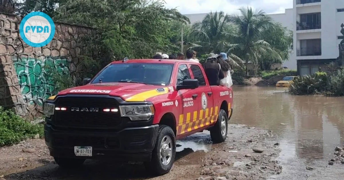
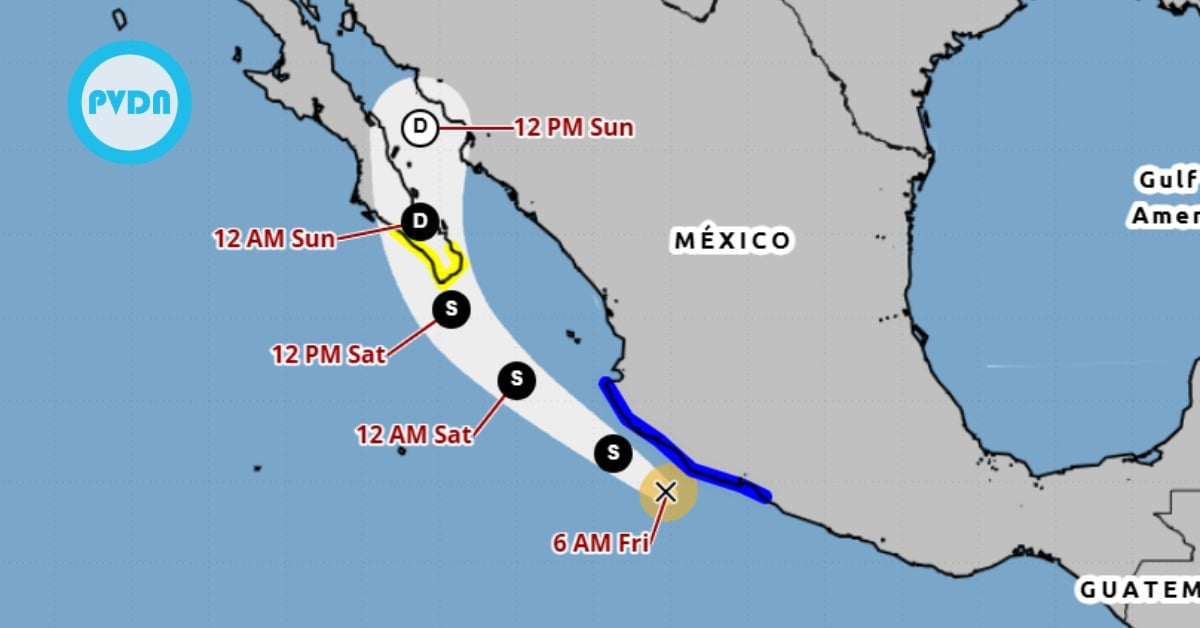
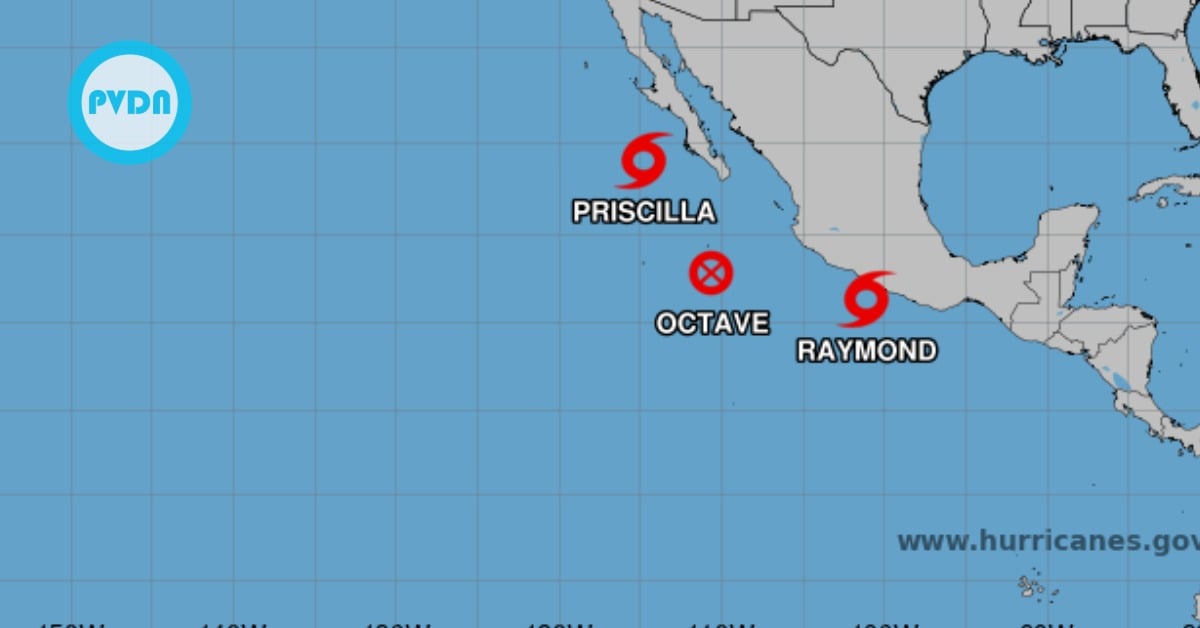
Puerto Vallarta, Mexico – The National Meteorological Service (SMN) of Mexico has reported that Hurricane ‘John’ made landfall late Monday night in the southwestern region of the state of Guerrero, bringing dangerous winds and heavy rains. Authorities have urged residents to remain in safe areas and closely monitor updates from local authorities.
The SMN confirmed that the hurricane made landfall at 9:15 p.m. (Central Mexico Time) near the coastal town of Marquelia. At the time of landfall, Hurricane John was a powerful Category 3 storm with maximum sustained winds of 195 kilometers per hour (121 mph) and gusts reaching up to 220 kilometers per hour (136 mph). These extreme conditions have prompted warnings for life-threatening coastal impacts and inland flooding.
Coastal regions, particularly in western Oaxaca and eastern Guerrero, are experiencing significant storm surges, with wave heights expected to reach between five and seven meters. In addition to the high seas, authorities warned of possible waterspouts forming along these coastal zones, adding another layer of risk for local communities.
Hurricane John Downgraded to Category 2
As of midnight, Hurricane John had weakened to a Category 2 storm on the Saffir-Simpson scale, according to the latest reports from the National Weather Service (NWS). The storm’s center is now located approximately 90 kilometers northwest of Punta Maldonado and 75 kilometers east of Acapulco. Despite the downgrade, it remains a significant threat due to ongoing strong winds and torrential rainfall.
Currently, the storm is moving in a north-northwest direction across Guerrero, with sustained winds of 160 kilometers per hour (99 mph) and gusts up to 200 kilometers per hour (124 mph). Minimum central pressure is recorded at 973 hPa, indicating a continued intensity that could result in widespread damage.
A hurricane warning remains in effect for the region extending from east of Acapulco to Lagunas de Chacahua. However, the tropical storm warning issued earlier has been lifted for areas between Bahías de Huatulco and Salina Cruz, suggesting that some coastal areas are experiencing reduced storm conditions as the hurricane weakens.
Heavy Rainfall and Flooding Risks
The primary threat posed by Hurricane John is now heavy rainfall. The SMN is forecasting extraordinary rainfall of more than 250 millimeters (9.8 inches) in parts of Oaxaca and Guerrero. This level of precipitation will likely result in dangerous flash flooding, especially in low-lying areas and near rivers.
Other states, including Veracruz and Puebla, are also expected to experience intense rainfall, ranging from 75 to 150 millimeters (3 to 6 inches), as the storm continues to spread its outer cloud bands. Rainfall is expected to increase across central Mexico, including the Valley of Mexico, raising concerns about landslides and urban flooding in the days to come.
The National Civil Protection System has urged citizens to stay informed of emergency updates and follow all official recommendations. Coastal residents, particularly those in areas forecasted to experience significant storm surges, have been advised to evacuate if instructed by local authorities.
High Winds and Coastal Hazards
Wind gusts reaching 160 kilometers per hour and waves of up to seven meters remain a concern for coastal regions in Oaxaca and Guerrero. The SMN has cautioned that these hazardous conditions could lead to widespread structural damage, especially in poorly constructed buildings or areas not adequately prepared for such storms.
In addition, waterspouts—tornado-like funnels that form over water—are anticipated along the coasts of Guerrero and Oaxaca, adding another hazard to the region already grappling with dangerous conditions. Authorities have urged extreme caution for all activities in or near the water.
Government Response and Preparedness
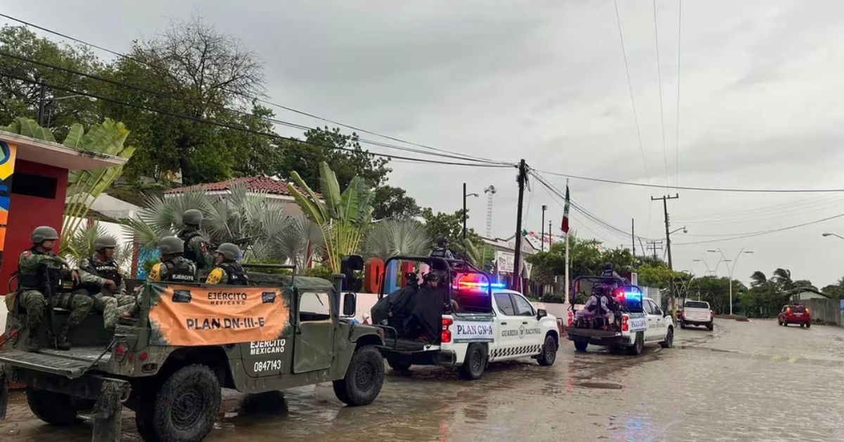
Emergency response teams and the Mexican armed forces have been mobilized to assist with evacuations and disaster relief efforts. In Guerrero and Oaxaca, emergency shelters have been set up for residents in at-risk areas, while evacuation routes have been established to ensure safe passage for those needing to relocate.
The federal and state governments have also issued warnings to the general population, particularly those living in vulnerable areas such as riverbanks, hillsides, and flood-prone regions, to remain vigilant and prepared for potential landslides or flooding as the storm progresses.
As the hurricane moves further inland, the population in central Mexico is advised to brace for prolonged rainfall, localized flooding, and potential disruptions to travel and power infrastructure.
Looking Ahead
Meteorologists predict that Hurricane John will continue to weaken as it moves further inland, but its remnants are expected to bring heavy rainfall across large portions of southern and central Mexico. The SMN will continue to monitor the storm’s trajectory and intensity, updating the public with any changes in weather patterns or risks.
Authorities urge residents in affected areas to heed the warnings and instructions from local officials to ensure their safety during this period of heightened weather risk. The next few days will be critical for the regions hit by the hurricane, as recovery efforts may be complicated by ongoing adverse weather conditions.
As the situation develops, updates will be provided to keep the public informed of any additional dangers or necessary precautions related to Hurricane John. The safety of the population remains the highest priority as Mexico faces this latest natural disaster.
Puerto Vallarta, Mexico - The National Meteorological Service (SMN) of Mexico has reported that Hurricane 'John' made landfall late Monday night in the southwestern region of the state of Guerrero, bringing dangerous winds and heavy rains. Authorities have urged residents to remain in safe areas and closely monitor updates from local authorities.